MyTopo
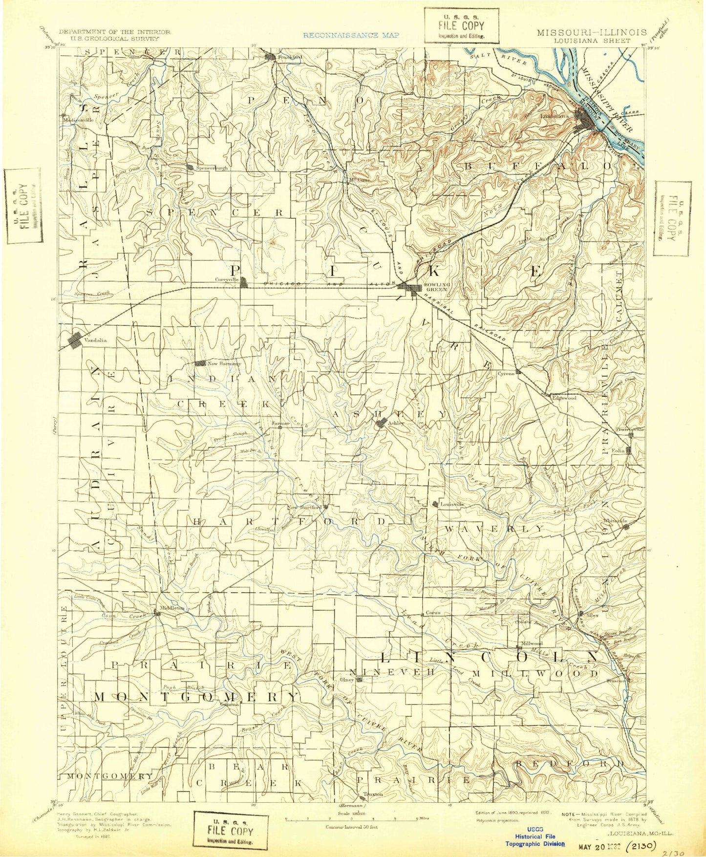
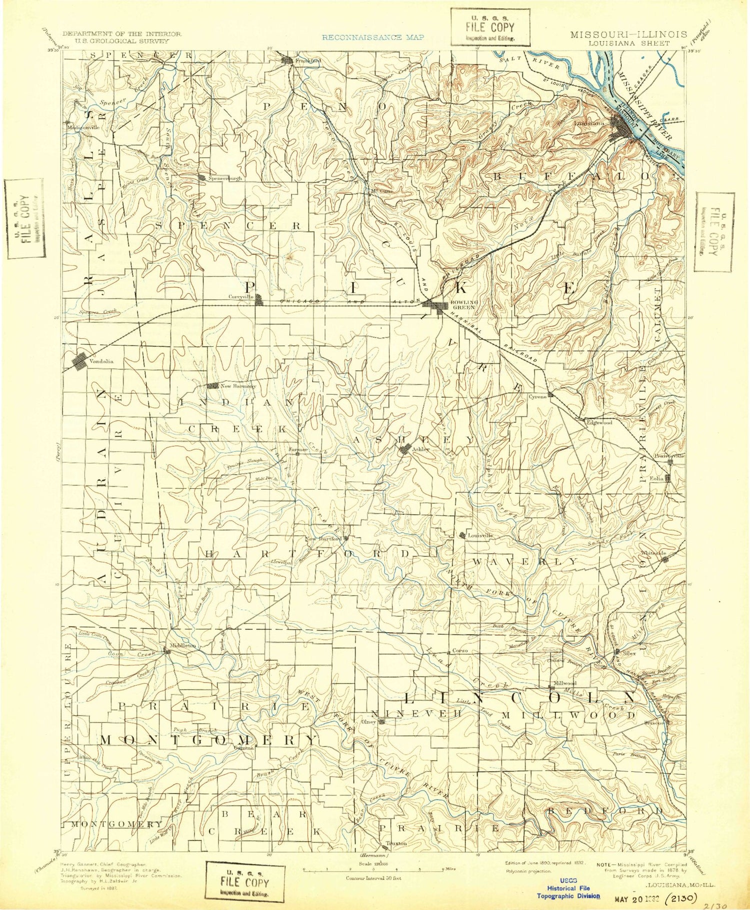
Historic 1890 Louisiana Missouri 30'x30' Topo Map
Couldn't load pickup availability
Historical USGS topographic map of Louisiana in the state of Missouri. Scale: 1:125000. Print size: 17" x 24"
This map was published in 1890 and is in the following counties: Audrain, Lincoln, Montgomery, Pike, Ralls.
The map contains contour lines, roads, rivers, towns, streams, and lakes. Printed on high-quality waterproof paper with UV fade-resistant inks.
Contains the following named places: Anderson Creek, Angle Island, Backbone, Bear Creek, Bellflower, Big Lead Creek, Bishop Branch, Blackburn Island, Bone Hollow, Bowling Green, Bracht Branch, Briscoe, Brush Branch, Brush Creek, Brush Creek, Brushy Creek, Buck Creek, Buckner Hollow, Buell, Buffalo Creek, Buffalo Island, Buffalo Knob, Buffalo Knob, Clifty Fork, Clinton Hill, Coon Creek, Coon Creek, Corso, Cottonwood Branch, Cottonwood Cutoff, Crigler Branch, Crooked Creek, Cuivre Creek, Curryville, Cyrene, Daniels Park, Davis, Davis Knob, Denny Run, Dry Branch, Dry Branch, Dry Fork, Dry Straw Branch, East Branch Brush Creek, East Fork, East Sulphur Creek, Edgewood, Elkhorn Creek, Eolia, Fort Branch, Fulcher Hollow, Gailey Branch, Gamma, Gazette, Goose Creek, Haw Creek, Helps Branch, Henderson Branch, Hickory Chute, Hippo Branch, Hupp Branch, Irvine Branch, Jasper Spring Branch, Johns Branch, Jones Branch, Jug Run, Lead Creek, Lewellen Branch, Little Buffalo Creek, Little Peno Creek, Little Creek, Little Elkhorn Creek, Little Lead Creek, Little Noix Creek, Little Wolf Creek, Lolar Branch, Lost Creek, Louisville, McDowell Branch, Middle Sulphur Creek, Mill Creek, Milligan Branch, Moore Branch, Neal Pond, New Hartford, Number One Lake, Number Two Lake, Number Three Lake, Number Four Lake, Number Five Lake, Noix Creek, Paris Branch, Parsons Branch, Pea Ridge, Peasel Branch, Picnic Branch, Railroad Branch, Ranacker State Wildlife Area, Reid Creek, Riverview Park, Roundtop Branch, Sandy Creek, Sandy Creek, Sandy Creek, Shady Creek, Silex, Sitton Branch, South Horn Branch, South Spencer Creek, Spring Creek, Spring Creek Community Center, Stark, Sugar Creek, Sunset Park, Tanyard Branch, Tarrants, Ted Shanks Wildlife Management Area, Town Branch, Truxton, Turkey Creek, Twomile Branch, VFW Park, Vache Branch, Vandalia, Weldon H. 'Pete' Steiner Reservoir, Vandalia Sportsman Club Lakes, Vonaventure State Memorial Forest And, Weatherly Branch, West Sulphur Creek, Whiteside, William Logan State Wildlife Area, Wolf Creek, Ashley, Cains Creek, Farmer, Grassy Creek, Lick Creek, Louisiana, Opossum Branch, Prairie Branch, Saint Clement, Salt River, Spencerburg, White Oak Creek, Wolfpen Creek, Frankford, Lost Branch, Camp Creek, Sandy Creek Natural Bridge, Sulphur Creek, Little Sandy Creek, Millwood, Nulls Creek, Olney, Indian Creek, Old Negro Pond, Starkey Hollow, Little Coon Creek, Blackbird Islands, DuChien Cave Natural Bridge, Prohibition, Marzolf, Whiterock, Mackville, Fairview, Spring Dale, Famous, Calumet, Elmwood, Estes, Hobart, Hopkinsville, Madisonville, Marling, McCune, New Harmony, Reading, Stepanek Crossing, Stillhouse Ford, Vera, Pike County Farm, Twin Pike Shopping Center, White Memorial State Wildlife Area, Three Churches, Stark Nursery, Vandalia Country Club, Long Branch, Middletown, Bowling Green Reservoir, Harris Lake, Middletown Lake, Stone Lake, Pike County, Bibb Dam, Bibb Lake, Harris Lake Dam, Camerer Dam, Camerer Lake, Bowling Green Reservoir Dam, Old Bowling Green Reservoir Dam, Old Lake, Staton Dam, Love Lake Dam, Love Lake, Kohl Lake West Dam, Kohl Lake West, Kohl Lake East Dam, Kohl Lake East, Vandalia Lake Dam, Number 150 Dam, Deigel Dam, Dougherty Lake, Morris Dam, White Lake Dam, White Lake, Ebers Brothers Dam, Ebers Brothers Lake, Bachman Lake Dam, Bachman Lake, Bruce Crysdale Dam, Drysdale Lake, W L Morris Dam, Morris Lake, Charles Moore Dam, Moore Lake, J R Wilson Dam, Wilson Lake, Luecke Lake Dam, Luecke Lake, Terbrock Lake Dam, Terbrock Lake, Number 763 Dam, Reliable Chemical Company Lake Dam, Reliable Chemical Company Lake, Hagemier Lake Dam, Clithero Lake Dam


