MyTopo
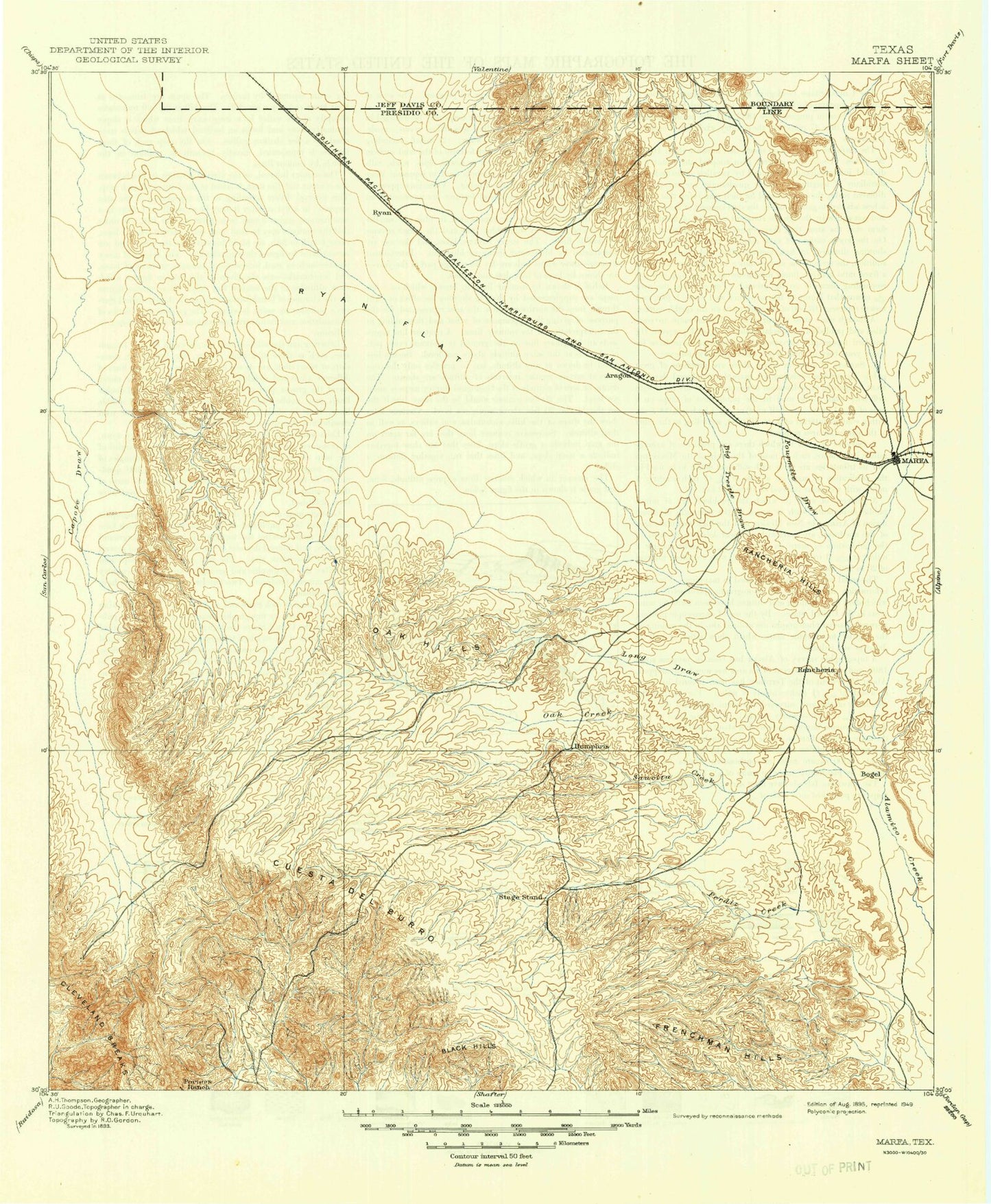
Historic 1895 Marfa Texas 30'x30' Topo Map
Couldn't load pickup availability
Historical USGS topographic map of Marfa in the state of Texas. Scale: 1:125000. Print size: 18" x 24"
This map was published in 1895 and is in the following counties: Jeff Davis, Presidio.
The map contains contour lines, roads, rivers, towns, streams, and lakes. Printed on high-quality waterproof paper with UV fade-resistant inks.
Contains the following named places: Allison Ranch, Black Hills, Cat Creek, Cuesta del Burro, Frenchman Hills, Indian Creek, Long Draw, Marfa, Oak Creek, Rancheria Hills, San Estaban Lake, Burro Draw, Medley Draw, Owls Nest Canyon, Big Trestle Draw, Cathedral Peak, Cuervo Draw, Fourmile Draw, Greenlee Draw, Julio Creek, North Fork Alamito Creek, Oak Hills, Savcito Creek, South Fork Alamito Creek, Ryan, Cuesta del Burro, Soil Conservation Service Site 1 Dam, Soil Conservation Service Site 1 Reservoir, San Esteban Lake Dam, Marfa Division, Coffield Park, City of Marfa, Juniper Draw, Duncan Draw, Mimms Draw, Antelope Draw


