MyTopo
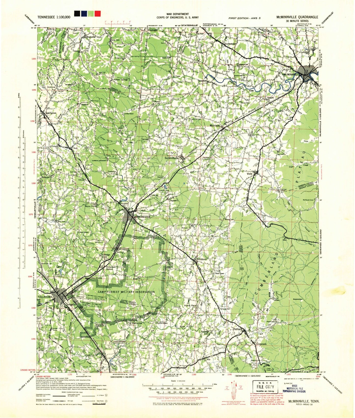
Historic 1943 Mc Minnville Tennessee 30'x30' Topo Map
Couldn't load pickup availability
Historical USGS topographic map of Mc Minnville in the state of Tennessee. Scale: 1:100000. Print size: 24" x 27"
This map was published in 1943 and is in the following counties: -.
The map contains contour lines, roads, rivers, towns, streams, and lakes. Printed on high-quality waterproof paper with UV fade-resistant inks.
Contains the following named places: Wiley Creek, Bashaw Creek, Beechgrove, Billy Hollow, Cates Branch, Eagle Cliff, Goodman Spring Branch, Gum Creek, Indian Camp Creek, Keel Branch, Little Mountain, Normandy Lake, Rayburn Hollow, Rowland Creek, Shay Lake, Shelton Branch, Shelton Hollow, Shelton Ridge, Simmons Hollow, Sinkhole Ridge, Sinking Pond, Sissom Hollow, Sisson Hill, Sixteenth Model, Smith Hollow, Smith Hollow, Smithson Branch, Smoot Bluff, Solomon Hollow, South Fork Blue Creek, Spring Creek, Spring Hollow, Spurlock Branch, Starkey Rock, Stillhouse Hollow, Stillhouse Hollow, Stoner Mountain, Sugarcamp Bottoms, Sugarcamp Hollow, Summerfield, Summitville, Sutton Branch, Swanger Branch, Tallow Branch, Tanyard Hollow, Tanyard Point, Tara Estates, Taylor Branch, Taylor Creek, Taylor Hollow, Teal Ridge, Thacker Pond, The Blockade, The Gap, The Hurricane, Thurman Point, Tillman Hollow, Tip Top, Todd Branch, Tolbert Hollow, Toliver Lake, Trussell Creek, Tullahoma, Tullahoma Golf and Country Club, Lake Tullahoma, Tyree Cove, Vassar Hollow, Walden Ridge, Walker Hollow, Warren Branch, Wayside, Wayside, Weber Hill, Welker Branch, West Fork Hickory Creek, West Fork Rock Creek, West Meade, West Ramsey, West Riverside, Westall Swamp, Westside Heights, Westwood, Westwood, Westwood Homes, White Oaks, Whiteoak Slash, Wild Boar Bluff, Wildcat Hollow, Willow Branch, Wisers Branch, Witty Creek, Lake Womack, Woods Reservoir, Yellow Branch, Young Hollow, Youngblood Creek, Bark Camp Fork, Gum Swamp Branch, Anderson, Anthony Branch, Armstrong Hollow, Bailey Branch, Baker Falls, Bald Bluff, Barnes Store, Barton Hollow, Barton Spring Public Use Area, Basin Hollow, Bates Spring Branch, Baucom, Bedford Lake, Beech Hollow, Bel-Aire, Ben Lomond Mountain, Bennett Cove, Bethany, Big Butte, Big Falls, Big Rock, Billy Hill Hollow, Black Pond, Blair Hollow, Blue Creek, Blue Spring Creek, Bluebell Island, Bluehole Falls, Bluehole Hollow, Bob Williams Hollow, Bostick Creek, Bosworth Falls, Boyd Branch, Boyd Hollow, Boynton Valley, Bray Branch, Bread Tray Hill, Briarwood, Brooks Point, Broyles Hollow, Buck Creek, Bullen Run, Burk Hollow, Burks Hill, Burrow Cove Ridge, Busy Corner, Bybee Branch, Bynum Hollow, Caldwell Ridge, Calls, Camp Arrowhead, Camp Tannassie, Camp Unaka, Campbell Hollow, Cane Hollow, Caney Branch, Carrick Hollow, Carson Hills, Carson Hollow, Cascade Falls, Cat Creek, Cathey Sink, Cathy Ridge, Cave Branch, Cedar Hollow, Cedar Point Public Use Area, Cedar Ridge, Center Grove, Childer Creek, Cisco Branch, Clear Branch, Clouse Hill, Coffee County Recreation Area, Cold Ridge, Collier Branch, Cooper Branch, Cooper Hollow, Copperas Branch, Copperas Falls, Corn Branch, Counter Pen, Cove Hill, Cowen Point, Craft Hill, Craven Branch, Crews Hollow, Crit May Pond, Crowfoot Branch, Dark Hollow, Davidson Branch, De Berry Swamp, Deer Lick Falls, Delly Hole, Devils Backbone, Dick Creek, Dick Pond, Dickey Bottom, Dog Branch, Douglas Ridge, Drake Hollow, Dry Branch, Dry Creek, Dry Creek, Dry Creek, Dry Creek, Duck Branch, Duck Point, Duck Pond, Ducks Nest, Dug Hollow, Dug Hollow, Duke Creek, Duncan Hollow, Duncan Lake, Dye Branch, East Ramsey, Eaton Branch, Elder Island, Elkins, Eoff Branch, Estill Springs, Evans Point, Fairview, Falling Water Cove, Farris Pond, Faulkner Springs, Ferrell Branch, Finley Hollow, Flat Mountain, Flatbench Point, Flatrock Branch, Fletcher Point, Flowertown, Floyd Hollow, Forest Mill, Forrest Park, Forrest Point, Franklin County Park


