MyTopo
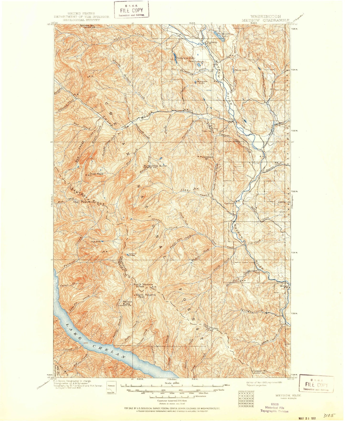
Historic 1901 Methow Washington 30'x30' Topo Map
Couldn't load pickup availability
Historical USGS topographic map of Methow in the state of Washington. Scale: 1:125000. Print size: 18" x 24"
This map was published in 1901 and is in the following counties: Chelan, Okanogan.
The map contains contour lines, roads, rivers, towns, streams, and lakes. Printed on high-quality waterproof paper with UV fade-resistant inks.
Contains the following named places: West Oval Lake, Alder Creek, Alder Mine, Aspen Lake, Baldy Creek, Baldy Mountain, Barney Zell Ridge, Barnsley Lake, Battle Mountain, Bear Camp, Bear Creek, Beaver Creek, Ben Canyon, Benson Creek, Bernice Lake, Big Creek, Big Creek Campground, Big Goat Creek, Big Goat Mountain, Big Hill, Big Twin Lake, Mount Bigelow, Black Canyon Creek, Black Pine Creek, Black Pine Lake, Block Mountain, Blue Buck Creek, Blue Buck Mountain, Boiling Lake, Bonner Lake, Booth Canyon, Bowen Creek, Bowen Mountain, Box Canyon, Bryan Butte, Buckhorn Canyon, Burns Canyon, Burnt Saw Creek, Buttermilk Butte, Buttermilk Creek, Buttermilk Meadow, Buttermilk Ridge, Cabin Creek, Camas Creek, Camp Four, Campbell Lake, Canoe Creek, Canyon Creek, Canyon Creek, Canyon Creek Ridge, Carlton, Chewuch River, Chewuch Canal, Chicamun Canyon, Coal Creek, Cook Creek, Cooney Lake, Cooper Mountain, Cooper Ridge, Corral Creek, Corral Creek Campground, Cougar Creek, Cougar Flat, Cougar Lake, Cow Creek, Cow Creek, Coyote Creek, Coyote Ridge, Crater Creek, Crater Creek Campground, Crater Lake, Cub Lake, Cumbo Flat, Davis Creek, Dead Horse Lake, Deep Harbor, Deep Harbor Creek, Deer Creek, Deer Point, Devils Kitchen, Dibble Lake, Douglas Ingram Ridge, Dry Creek, Dry Lake, Duckbill Mountain, Duffy Lake, Dutch Harbor, Eagle Creek, Eagle Lake, Eagle Pass, East Fork Buttermilk Creek, East Fork Prince Creek, East Oval Lake, Ederberry Canyon, Elbow Canyon, Elbow Coulee, End Mountain, Falls Creek, Ferry Peak, Finley Canyon, Finn Harbor, Finney Peak, Finney Ridge, Fish Creek Pass, Fisher Creek, Foggy Dew Campground, Foggy Dew Creek, Foggy Dew Falls, Foggy Dew Ridge, Fox Peak, Frazer Creek, French Creek, Fuzzy Canyon, Gardner Meadows, Goat Pass Canyon, Goat Spring Creek, Gobblers Knob, Gold Creek, Gold Ridge, Grade Creek, Graff Creek, Graham Harbor, Graham Harbor Creek Campground, Graham Harbor Creek, Gray Peak, Grouse Hollow, Hoodoo Pass, Hoodoo Peak, Hornet Draw, Hornet Ridge, Horse Gulch, Horsehead Pass, Horseshoe Basin, Horsethief Basin, Hubbard Creek, Hungry Mountain, Hungry Ridge, Hunter Creek, Hunter Mountain, Indian Creek, Indianhead Basin, Jim Johnson Lake, Johnson Creek, Lake Creek, Lamotte Pond, Leecher Canyon, Mount Leecher, Left Fork, Left Fork Black Canyon Creek, Libby Creek, Libby Lake, Lime Creek, Limekiln Point, Little Big Creek, Little Bridge Creek, Little Goat Creek, Little Goat Mountain, Little Grade Creek, Little Hornet Ridge, Little Joe Creek, Little Slate Creek, Little Slate Lake, Little Twin Lake, Little Wolf Creek, Lone Fir Creek, Lookout Mountain, Lookout Ridge, Martin Creek, Martin Lakes, Martin Peak, McCall Basin, McClure Mountain, McFarland Creek, Merchants Basin, Methow, Methow Valley, Middle Fork Gold Creek, Middle Fork Prince Creek, Middle Fork Ridge, Middle Oval Lake, Midnight Mountain, Mills Flat, Milton Mountain, Miners Basin, Minnie Mine, Mission Creek, Mission Peak, Moccasin Lake, Morse Canyon, Morse Flat, Mulhollan Gulch, Myer Creek, Mystery Campground, Nelson Butte, Newby Creek, Newby Ridge, Nickel Canyon, Nobby Creek, North Fork Gold Creek, North Fork Libby Creek, North Fork Texas Creek, North Fork Wolf Creek, North Navarre Peak, Old Maid Mountain, Oss Peak, Oval Creek, Oval Lakes, Oval Peak, Oxide Canyon, Parrish Peak, Patterson Lake, Patterson Mountain, Pearrygin Creek, Pearrygin Lake, Pearrygin Lake State Park, Peters Puddles, Petes Canyon, Petes Creek, Piper Creek, Pipestone Canyon, Point No Point, Point No Point Creek, Poison Creek, Poison Creek Campground, Poorman Creek, Poplar Flat Campground, Prince Creek, Prince Creek Campground, Puckett Creek, Rader Creek, Rainy Creek, Raven Ridge, Red Butte, Reynolds Creek, Ridge Creek, Safety Harbor