MyTopo
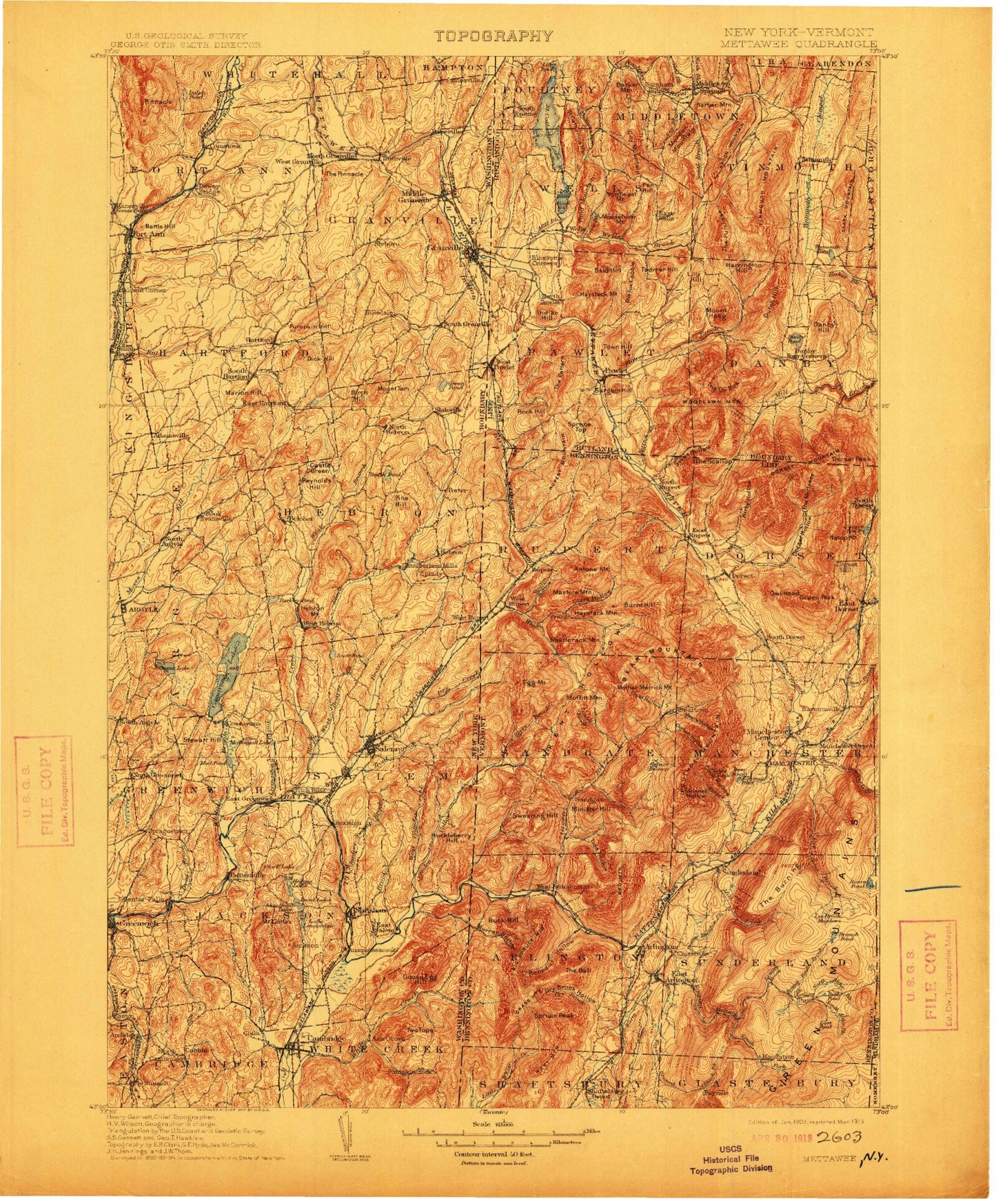
Historic 1903 Mettawee Vermont 30'x30' Topo Map
Couldn't load pickup availability
Historical USGS topographic map of Mettawee in the state of Vermont. Scale: 1:125000. Print size: 17" x 24"
This map was published in 1903 and is in the following counties: Bennington, Rutland, Washington, Windham.
The map contains contour lines, roads, rivers, towns, streams, and lakes. Printed on high-quality waterproof paper with UV fade-resistant inks.
Contains the following named places: Beattie Hollow, Black Hole Hollow, Blind Buck Hollow, Blind Buck Stream, Camden Creek, Chunks Brook, Dry Creek, Hogback Ridge, Indian River, Murray Hollow, State Line Ridge, White Creek, White Creek, Baldwin Brook, Camden Creek, Terry Brook, Antone Mountain, Atwater Bay, Baker Brook, Bald Hill, Bald Mountain, Barber Mountain, Barbos Lake, Barker Mountain, Bass Hill, Bear Mountain, Beaver Brook, Bennetts Ridge, Black Hole Hollow, Blossoms Corners, Brimstone Corners, Brown Brook, Bullfrog Hollow, Burnham Hollow, Burnt Hill, Burt Hill, Butternut, Camp Kinni Kinnic, Chipman Lake, Clark Hollow, Clark Mountain, Cleveland Hill, Cole Hill, Cones Point, Coy Brook, Coy Mountain, Devils Glen Brook, Dry Brook, Dutch Hill, Edgerton Hill, Egg Mountain, Endless Brook, Fan Hill, Flat Hill, Frost Hollow, Hall Bay, Hamilton Hollow, Haynes Hill, Haystack Mountain, Haystack Mountain, Herrick Brook, Highgo Hill, Mount Hoag, Hopper Brook, Hopper Pond, Indian Hill, Kent Hollow, Lake Saint Catherine State Park, Laws Ridge, Lily Hill, Lily Pond, Lincoln Hill, Little Equinox, Little Haystack Mountain, Little Lake, Long Hill, Masters Mountain, Meetinghouse Hill, Middle Mountain, Middletown Springs, Mill Brook, Mill Brook, Minister Hill, Moffitt Hollow, Moffitt Mountain, Moosehorn Mountain, Morgan Mountain, North Brook, North Pawlet, North Rupert, Northeast Mountain, Norton Brook, Oak Hill, Orcutt Hill, Oven Brook, Panteleoni Ridge, Pawlet, Pendock Hill, Perkins Hollow, Pine Hill, Pine Top, Plum Hill, Pond Mountain, Pruddy Brook, Purchase Brook, Rock Hill, Rupert, Rupert Mountain, Rupert Valley, Rush Hollow, Saint Catherine Mountain, Lake Saint Catherine, Sandgate, Sandgate Brook, Sargent Hill, Scott Mountain, Scottsville, Shatterack Mountain, Simonds Hill, Single Hill, Snow Brook, South Brook, South Poultney, Spoon Mountain, Spruce Peak, Spruce Top, Swearing Hill, Tadmer Hill, Tate Mountain, The Big Ridge, The Cobble, The Fox Cobble, The Gallop, The Gulf, The Notch, The Oven, The Ox Bow, The Pattern, The Pinnacle, The Purchase, Tinmouth, Tinmouth Channel, Tinmouth Mountain, Town Hill, Train Brook, Vail Brook, Walnut Hill, Walnut Hill, Wells, Wells Brook, West Pawlet, West Rupert, West Sandgate, Wilcox Hollow, Glastenbury, Beartown, East Wells, West Tinmouth, Arlington, Arlington State Forest, Barnumville, Beaver Meadow Brook, Beebe Pond, Benedict Hollow, Big Spruce Mountain, Black Brook, Bourn Brook, Bourn Pond, Bourn Shelter, Branch Pond, Branch Pond Brook, Branch Pond Trail, Bromley Brook, Buck Hill, Bullhead Pond, Bulls Head, Catamount Cobble, Caughnawaga Shelter, Chiselville, Cole Brook, Colvin Hill, Cook Hollow, Corbett Hollow, Daley Brook, Danby Four Corners, Danby Hill, Danby Pond, Deer Knoll, Dorset, Dorset Hill, Dorset Hollow, Dorset Mountain, Dorset Peak, Downer Glen, Dry Brook, Dry Brook Hollow, Dufresne Pond, East Arlington, East Dorset, East Kansas, East Rupert, Emerald Lake, Emerald Lake State Forest, Emerald Lake State Park, Equinox Pond, Fall Brook, Fayville, Fayville Branch, Flower Brook, Freedleyville, Gilbert Brook, Goodman Brook, Grass Mountain, Mount Aeolus, Green River, Gulf Brook, Kansas, Kate Hollow, Kelley Stand, Kirby Hollow, Little Mad Tom Brook, Lookout Rock, Lost Pond, Lye Brook, Lye Brook Hollow, Lye Brook Meadows, Lye Brook Trail, Lyman Brook, MacIntyre, Mad Tom Brook, Manchester, Manchester Center, Manchester Depot, Mears Hollow, Mill Brook, Mother Myrick Mountain


