MyTopo
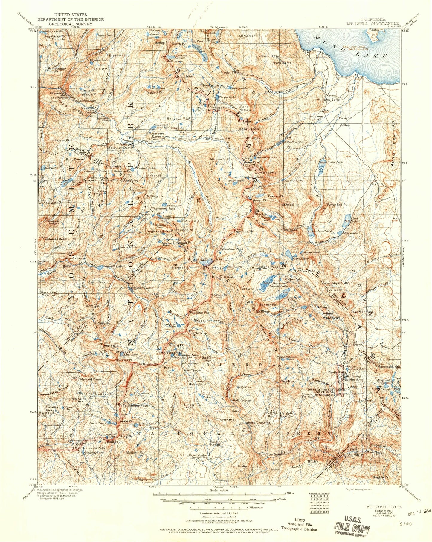
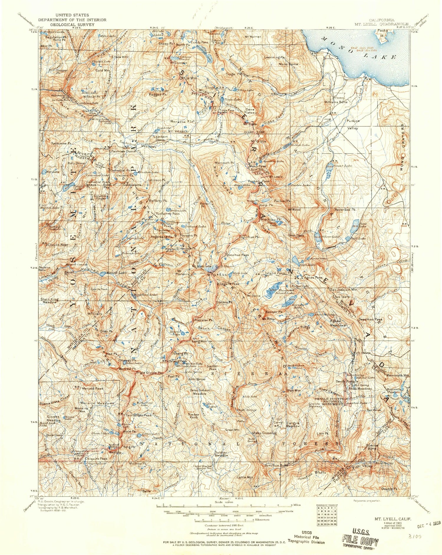
Historic 1901 Mount Lyell California 30'x30' Topo Map
Couldn't load pickup availability
Historical USGS topographic map of Mount Lyell in the state of California. Scale: 1:125000. Print size: 17" x 24"
This map was published in 1901 and is in the following counties: Fresno, Madera, Mariposa, Mono, Tuolumne.
The map contains contour lines, roads, rivers, towns, streams, and lakes. Printed on high-quality waterproof paper with UV fade-resistant inks.
Contains the following named places: Alpine Lake, Balls, Big Horn Lake, Blackie Lake, Cascade Lake, Conness Lakes, Cora Lakes, Dore Cliff, Dore Pass, Echo Valley, Ediza Lake, Emerald Lake, Falls Ridge, Fernandez Lakes, Finger Lake, Flat Lake, Gale Peak, Gardisky Lake, Gaylor Peak, Givens Meadow, Glacier Canyon, Glen Aulin, Glen Aulin High Sierra Camp, Granite Lakes, Green Treble Lake, Greenstone Lake, Hess Mine, Hummingbird Lake, Jackass Lakes, Kuna Lake, Lillian Lake, Lost Valley, Lower Merced Pass Lake, Lower Ottoway Lake, Lundy Pass, Madera Lakes, Matthes Lake, Mattie Lake, Maul Lake, May Lake, May Lake High Sierra Camp, Merced Lake, Merced Pass, Mildred Lake, Miller Lake, Minarets, Odell Lake, Oneida Lake, Polly Dome Lakes, Quartz Mountain, Red Devil Lake, Reymann Lake, Roosevelt Lake, Saddlebag Lake, Sawmill Campground, Shamrock Lake, Skelton Lakes, Fernandez Pass, Fish Creek, Spillway Lake, Sunrise Lakes, Swamp Lake, Tioga Crest, Tioga Lake, Upper Merced Pass Lake, Upper Ottoway Lake, Wasco Lake, Z Lake, Maclure Glacier, Bench Lakes, Red Top Mountain, Upper Fletcher Lake, Ottoway Lakes, Lee Vining Canyon, Townsley Lake, Givens Lake, Vanderburgh Lake, Lake Mary, Matterhorn Creek, Pothole Dome, Fantail Lake, Puppy Dome, Shell Lake, Knoblock Meadow, The Niche, Olmstead Point, Gray Peak Fork, Red Peak Pass, Grizzly Pass, Mount Bruce, Bowler Group Campground, Clover Meadow Campground, Tenaya Lake Campground, Buck Camp Ranger Station, Gaylor Lakes, Adair Lake, Alpine Lake, Anne Lake, Burro Lake, Cathedral Fork, Chetwood Cabin, Chiquito Lake, Chittenden Lake, Clover Meadow Ranger Station, Cold Springs Meadow, Detachment Meadow, East Fork Chiquito Creek, East Fork Granite Creek, Echo Lake, Evelyn Lake, Fairview Dome, Fernandez Creek, Fletcher Peak, Frying Pan Lake, Gale Lake, Gallison Lake, Givens Creek, Granite Creek Campground, Gray Creek, Gray Peak, Grayling Lake, Great Sierra Mine, Grizzly Creek, Hanging Basket Lake, Hidden Lake, Hoover Lakes, Knoblock Cabin, Lady Lake, Lyell Canyon, Lyell Fork, Maclure Creek, Madera Creek, Madera Peak, Mammoth Peak, Matterhorn Canyon, Matthes Crest, McCabe Lakes, McGee Lake, Merced Lake Ranger Station, Merced Peak, Miller Meadow, Monument Lake, Nelson Lake, Norris Lake, Post Creek, Rainbow Lake, Ruth Lake, Rutherford Lake, Saddlebag Campground, Shirley Creek, Shirley Lake, Slab Lakes, Soldier Meadow, Spuller Lake, Staniford Lakes, Steelhead Lake, Timber Creek, Timber Knob, Twin Lakes, Upper Chiquito Campground, Vogelsang High Sierra Camp, Walton Lake, West Fork Granite Creek, Dana Fork, Dog Lake, Echo Creek, Edna Lake, Elizabeth Lake, Emeric Creek, Emeric Lake, Parker Pass Creek, Pettit Peak, Polly Dome, Pywiack Cascade, Quartzite Peak, Simmons Peak, Sing Peak, Dana Meadows, South Fork Cathedral Creek, Spotted Lakes, Sunrise Mountain, Young Lakes, Amelia Earhart Peak, Babcock Lake, Bernice Lake, Boothe Lake, Breeze Lake, Buck Creek, Budd Creek, Budd Lake, Buena Vista Crest, Bunnell Cascade, Bunnell Point, California Falls, Cascade Cliffs, Cathedral Lakes, Cathedral Pass, Cathedral Peak, Cathedral Range, Chain Lakes, Chiquito Pass, Clark Canyon, Mount Clark, Clouds Rest, Cockscomb, Cold Canyon, Cold Mountain, Mount Conness, Ireland Creek, Ireland Lake, Johnson Peak, Kuna Creek, Le Conte Falls, Lembert Dome, Long Meadow, Moraine Dome, Moraine Flat, Moraine Meadows, Moraine Mountain, Murphy Creek, North Peak, Obelisk Lake, Ottoway Creek, Rafferty Creek, Ragged Peak, Red Peak, Redtop, Regulation Creek, Rodgers Lake, Tenaya Lake, Tenaya Peak, Tioga Pass, Tuolumne Falls, Tuolumne Meadows, Tuolumne Pass, Tuolumne Peak


