MyTopo
Historic 1914 Mount Morrison California 30'x30' Topo Map
Couldn't load pickup availability
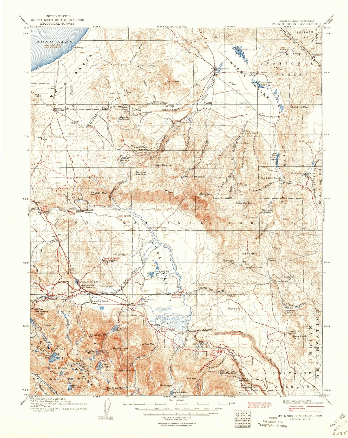
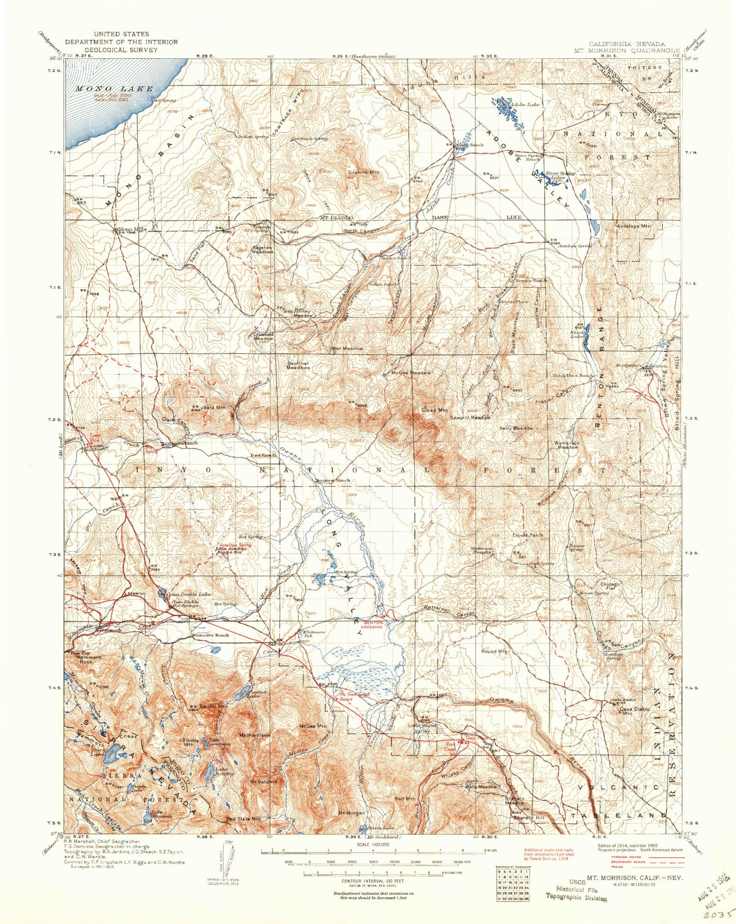
Historical USGS topographic map of Mount Morrison in the state of California. Scale: 1:125000. Print size: 17" x 24"
This map was published in 1914 and is in the following counties: Fresno, Mineral, Mono.
The map contains contour lines, roads, rivers, towns, streams, and lakes. Printed on high-quality waterproof paper with UV fade-resistant inks.
Contains the following named places: Big Alkali Lake, Birch Creek, Cashbaugh Ranch, Clover Patch, Hilton Creek, Hot Creek, Hot Creek Ranch, Little Alkali Lake, Little Hot Creek, Long Valley Dam, O'Harrel Canyon Creek, Red Mountain, Rock Creek Station, Round Mountain, Sand Canyon, Sherwin Meadow, Sky Meadow Ranch, Crooked Creek, Lake Crowley, Glass Mountain Ridge, Little Round Valley, Rock Creek, Swall Meadow, Watterson Canyon, Watterson Meadow, Whisky Canyon, Wilfred Canyon, Wilfred Creek, Witcher Creek, Witcher Meadow, Whisky Creek, Trafton Mountain, Benton Crossing, North Landing, Whitmore Hot Springs, Long Valley, Tunnel Number One, Tunnel Number Two, Adobe Creek, Adobe Hills, Adobe Lake, Adobe Reservoir, Mount Aggie, Alpers Canyon, Antelope Lake, Antelope Mountain, Arcularius Ranch, Arrowhead Lake, Bald Mountain, Barney Lake, Benton Hot Springs, Big Sand Flat, Big Springs Campground, Bighorn Lake, Black Canyon, Black Lake, Black Mountain, Blind Spring Valley, Bloody Lake, Bloody Mountain, Bright Dot Lake, Bunny Lake, Camp High Sierra, Casa Diablo Hot Springs, Casa Diablo Mine, Casa Diablo Mountain, Cascade Valley, Cecil Lake, Clark Canyon, Cloverleaf Lake, Cold Water Creek, Comanche Gulch, Constance Lake, Convict Creek, Convict Lake, Cowan Mine, Cowtrack Mountain, Crooked Meadows, Davis Lake, Deadman Creek, Deer Lakes, Dexter Creek, Lake Dorothy, Dry Creek, Dry Creek, Dry Fork, Duck Lake, Dutch Petes Ranch, East Craters Sand Flat, East Portal, Edith Lake, Emerald Lake, Esha Canyon, Fish and Game Experimental Station, Franklin Lake, Frazier Canyon, Lake Genevieve, Glass Mountain, Glen Lake, Glennette Lake, Granite Basin, Grass Lake, Hammil Lake, Heart Lake, Hilton Creek Mine, Horsetail Falls, Indian Meadow, Johnny Meadow, Kelty Canyon, Kelty Meadows, Klondike Canyon, Laurel Creek, Laurel Lakes, Laurel Mountain, Lee Lake, Little Sand Flat, Long Canyon, Lookout Mountain, Los Angeles Y M C A Camp, Lost Lake, Mammoth Consolidated Mine, Mammoth Creek, Mammoth Crest, Mammoth Ranger Station, Mammoth Rock, Marsh Lake, McGee Canyon, McGee Creek, McGee Creek, McGee Meadow, McGee Mountain, McGee Pass, McLaughlin Creek, Mildred Lake, Minnow Creek, Mono Basin, Mono Mills, Monte Cristo Mine, Mount Morgan, Mount Morrison, Nevahbe Ridge, North Canyon, Old Mammoth Mine, Pika Lake, Pizona Creek, Purple Creek, Purple Lake, Ram Lake, Red Lake, Red Slate Mountain, River Spring Lakes, Sagehen Meadow, Sagehen Peak, Sawmill Creek, Sawmill Meadow, Scheeldre Mine, Scoop Lake, Sentinel Meadow, Sevehah Cliff, Sherwin Hill, Sherwin Lakes, Skelton Lake, Sky Meadows, Adobe Valley, Banner Mine, Banner Ridge, Beckman Mine, Benton Range, Black Rock Mine, Chance Mine, Chidago Flat, Dexter Canyon, Diana Gulch, Gold Crown Mine, Gold Wedge Mine, Granite Mine, Granite Mountain, Kings Mill, Little Antelope Valley, Lone Star Mine, Long Chance Mine, O'Harrel Canyon, Owens River Ranch, Sherwin Creek, Sierra Vista Mine, Symons Ranch, Taylor Canyon, Tobacco Flat, Tower Mine, Tully Hole, Valentine Lake, Lake Virginia, Way Lake, West Tower Mine, Wet Canyon, Wet Fork, Wet Meadow, Wild Cow Canyon, Wild Horse Meadow, Wildrose Canyon, Lake Wit-So-Nah-Pah, Woods Lakes, Glass Creek, Wildrose Mine, Long Valley Caldera, Mono Jim Peak, Earthquake Dome, Dry Creek Knoll, Mammoth Knolls, Gilbert Peak, Clay Pit Mine, Convict Lake Picnic Area, Convict Lake Campground, South Lake Crowley Pack Station, Indiana Summit Research Natural Area, Bald Mountain Lookout, Glass Creek Campground, Adobe Ranch, Iris Meadow Campground, Big Meadow Campground, Holiday Campground, Rock Creek Campground, Aspen Park Group Campground, Tuff Campground, Lower Rock Creek Campground, White Wing Camp, Shady Rest Campground, Sherwin Creek Campground, Mono County, McNamara Lake, Inyo National Forest, Mount Baldwin, Crestview, Indiana Summit, Mesa Camp, Tiptop Prospect


