MyTopo
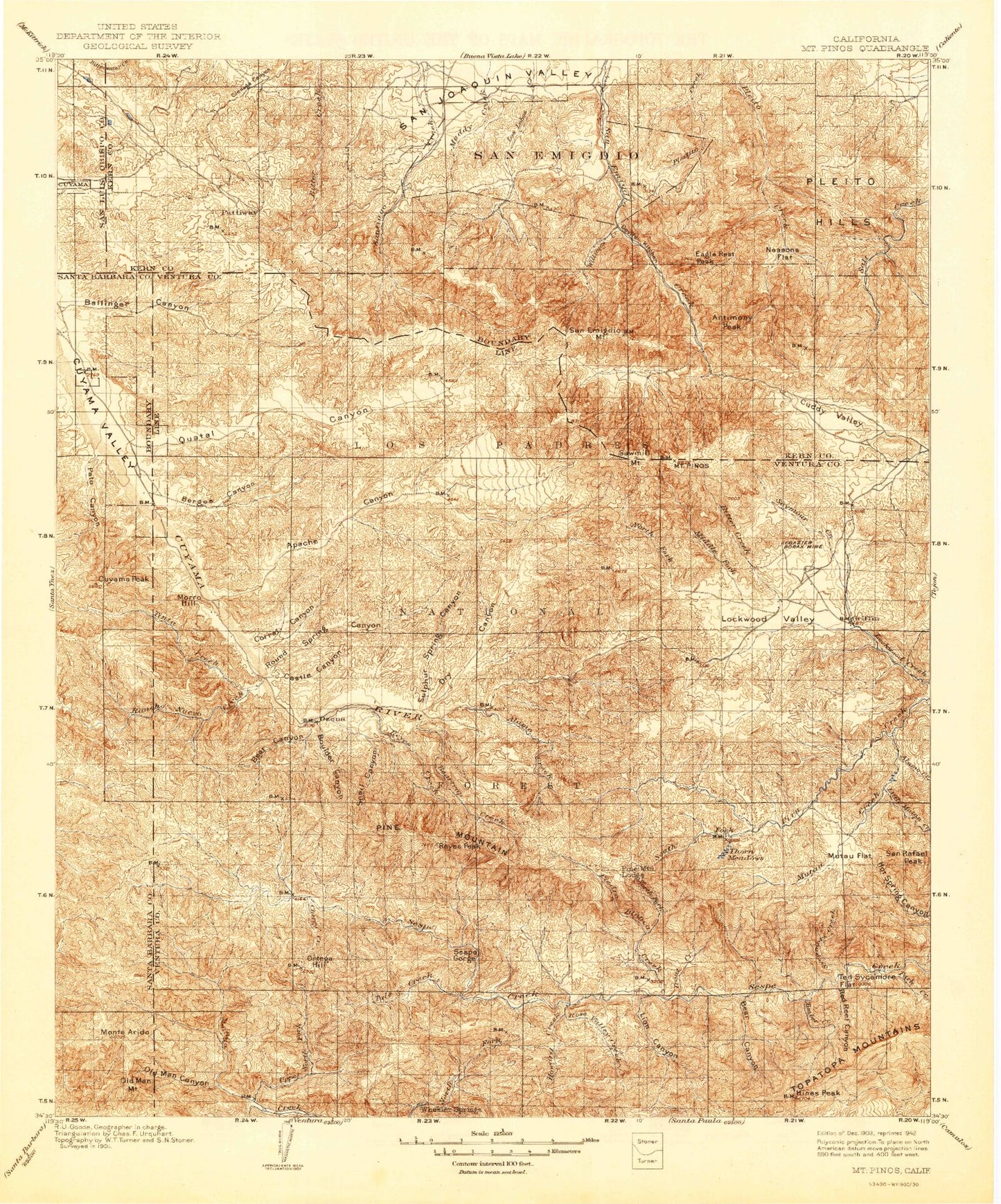
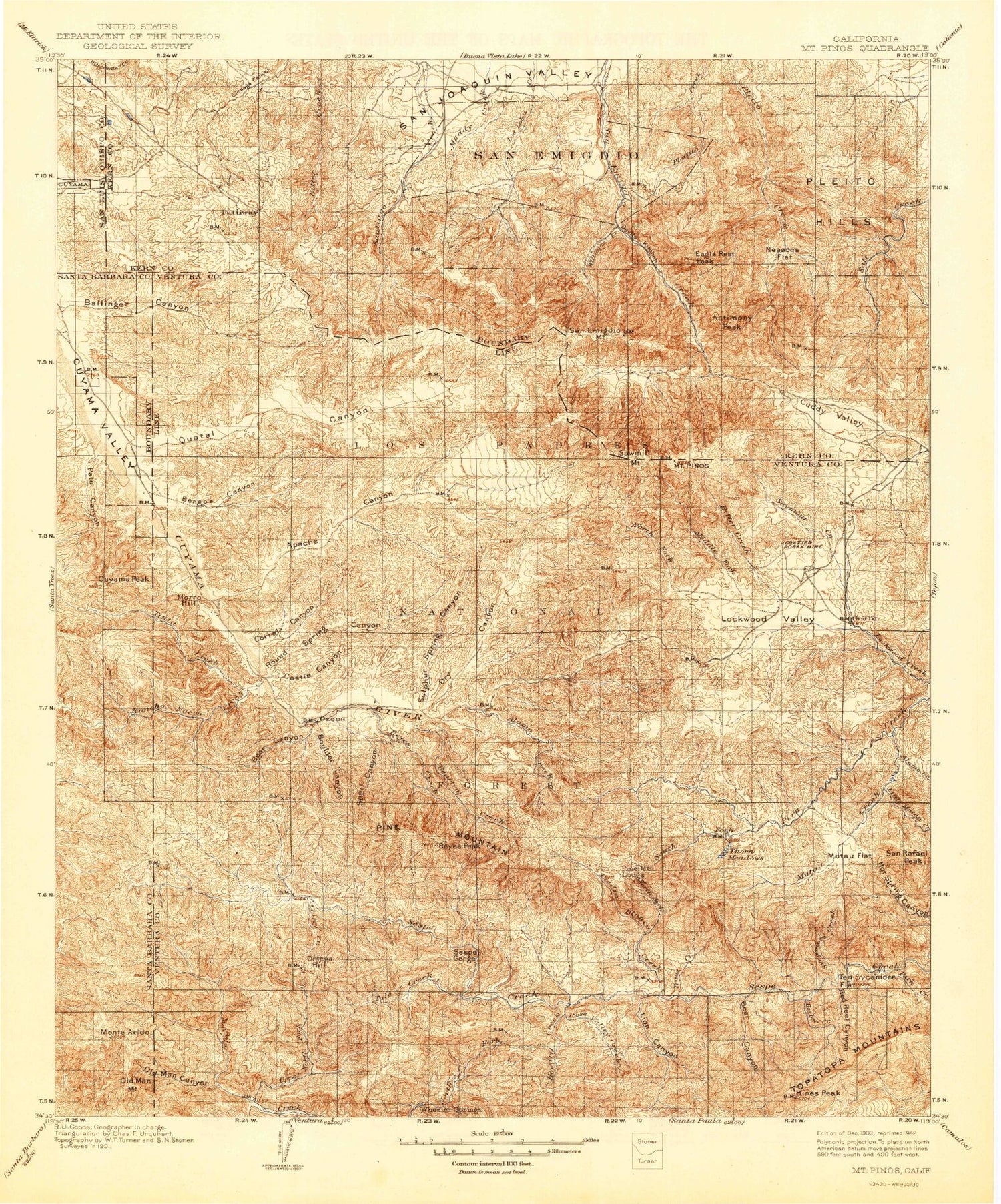
Historic 1903 Mount Pinos California 30'x30' Topo Map
Couldn't load pickup availability
Historical USGS topographic map of Mount Pinos in the state of California. Scale: 1:125000. Print size: 17" x 24"
This map was published in 1903 and is in the following counties: Kern, San Luis Obispo, Santa Barbara, Ventura.
The map contains contour lines, roads, rivers, towns, streams, and lakes. Printed on high-quality waterproof paper with UV fade-resistant inks.
Contains the following named places: Adobe Creek, Bear Canyon, Burro Creek, Camp Condor, Cherry Creek, Chorro Grande Canyon, Derrydale Creek, Hines Peak, Ladybug Creek, Lime Canyon, Munson Creek, Oak Flat, Park Creek, Potrero John Creek, Red Reef Canyon, San Emigdio Mesa, San Rafael Peak, Sespe Gorge, Sycamore Creek, Timber Creek, Tule Creek, San Emigdio Mountains, East Twin Creek, West Twin Creek, Puerta del Suelo, Park Canyon, Plush Ranch, Campo Alto Campground, Felt Ranch, Godwin Canyon, Hartman Ranch, San Emigdio Mountain, San Guillermo Mountain, Sawmill Mountain, Ten Sycamore Flat, Camp Three Falls, Wheeler Gorge, Wheeler Gorge Fire Station, Wheeler Springs, Ballinger Campground, Bitter Creek National Wildlife Refuge, Grocer Grade, Sunset Canyon, Santiago Corrals, San Emigdio Canyon, Joe Clark Flat, Nettle Spring Campground, Condor Observation Site, Sheep Camp, Apache Saddle, Westside Mountain Park, Mil Potrero Park, Pine Mountain Club, Pleito Creek Campsite, Mill Canyon, Chula Vista Campground, Mount Pinos Campground, Pinon Pines Estates, Cherry Creek Campsite, Escapula Peak, Salt Creek Campsite, Rancho Nuevo Trail, Tinta Trail, Don Victor Valley Fire Trail, Potrero Seco Campground, Deal Junction Campsite, McGuire Trail, Ozena Campground, Reyes Creek Campground, Beartrap Number 1 Campsite, Reyes Peak Campground, Lockwood Creek Campsite, Snedden Campground, Lockwood Peak, Grade Valley, Negro Creek, Sunset Campsite, Matilija Campsite, Willow Creek, Bear Creek, Cherry Creek Campsite, Dry Lakes Ridge, Holiday Group Campground, Maple Campsite, Middle Matilija Campsite, Oak Campsite, Ortega Campsite, Potrero John Campsite, Pine Mountain Lodge Campsite, Three Mile Campsite, Twin Forks Campsite, Piedra Blanca Campsite, Rock Creek, Piedra Blanca, Lion Campground, Beaver Campground, Rose Valley, Rose Valley Campground, Ladybug Campsite, Middle Lion Campground, Deal Trail, Topatopa Mountains, Cedar Creek, Piedra Blanca National Recreation Trail, Haddock Campsite, Pine Spring Campground, Abadi Creek, Alamo Creek, Alamo Creek, Amargosa Creek, Antimony Peak, Apache Canyon, Apache Potrero, Ballinger Canyon, Bear Canyon, Beartrap Creek, Black Bob Canyon, Black Ranch, Blue Ridge, Boulder Canyon, Brubaker Canyon, Brush Mountain, Burges Canyon, Castle Canyon, Chalker Mine, Cherry Creek, Chuchupate Campground, Chuchupate Ranger Station, Circle B Ranch, Cloudburst Canyon, Corral Canyon, Kern County Industrial Road Camp, Cowhead Potrero, Cuddy Creek, Cuddy Ranch, Cuddy Valley, Cuyama Peak, Ventucopa Ranger Station, Dalnton Trumbo Ranch, Deal Canyon, Deer Park Canyon, Devils Kitchen, Dorman Ranch, Dry Canyon, Eagle Rest Peak, Frazier Mine, Good Luck Mine, Harris Ranch, Howard Creek, Jewel Mine, Klipstein Ranch, La Carpa Potreros, Lazy T Ranch, Le Vezu Ranch, Lion Canyon, Little Mutau Creek, Lizard Head, Lockwood Valley, Long Canyon, Long Dave Canyon, Lost Canyon, Maule Mines, Middle Fork Lockwood Creek, Monreal Ranch, Monte Arido, Morro Hill, Mount Pinos Camp, Murietta Canyon, Mutau Creek, Mutau Flat, Neasons Flat, Nordhoff Ridge, North Fork Lockwood Creek, North Fork Piedra Blanca Creek, Oak Creek, Ogan Ranch, Old Man Canyon, Old Man Mountain, Pato Canyon, Piedra Blanca Creek, Pine Mountain, Pine Mountain Lodge, Poplar Creek, Potrero Seco, Quatal Canyon, Rancho Grande, Rancho Nuevo Creek, Reyes Creek, Reyes Peak, Rock Creek, Rose Valley Creek, Rose Valley Falls, Round Spring Canyon, San Emidio, San Emigdio Girl Scout Camp, San Emidio Ranch, San Guillermo Creek, Camp Scheideck, Seymour Creek, Sheep Creek, Snail Canyon, Snedden Ranch, Stauffer, Stutz Ranch, Sulphur Spring Canyon, Thorn Meadows, Thorn Meadows Guard Station, Thorn Point, Tinta Creek, Trout Creek, Upper Hartman Ranch, Upper North Fork Matilija Creek, Ventucopa, Wagon Road Canyon, West Fork Dry Canyon, Wycoff Ranch, Colorful Creek, Three Sisters, Matilija Rustic Campsite, Pine Mountain Camp, Three Mile Campground, Thacher Cabin, Piedra Blanca Camp, Twin Forks Camp, Lockwood Campground, Lockwood Creek Rustic Campsite, Chief Peak, Sunset Rustic Campsite, Cottonwood Rustic Campsite, Cottonwood Campground, East Fork Lion Camp, West Fork Lion Camp, Rose Valley Falls Camp, Upper Rose Lake, Lower Rose Lake, Rose Valley Station


