MyTopo
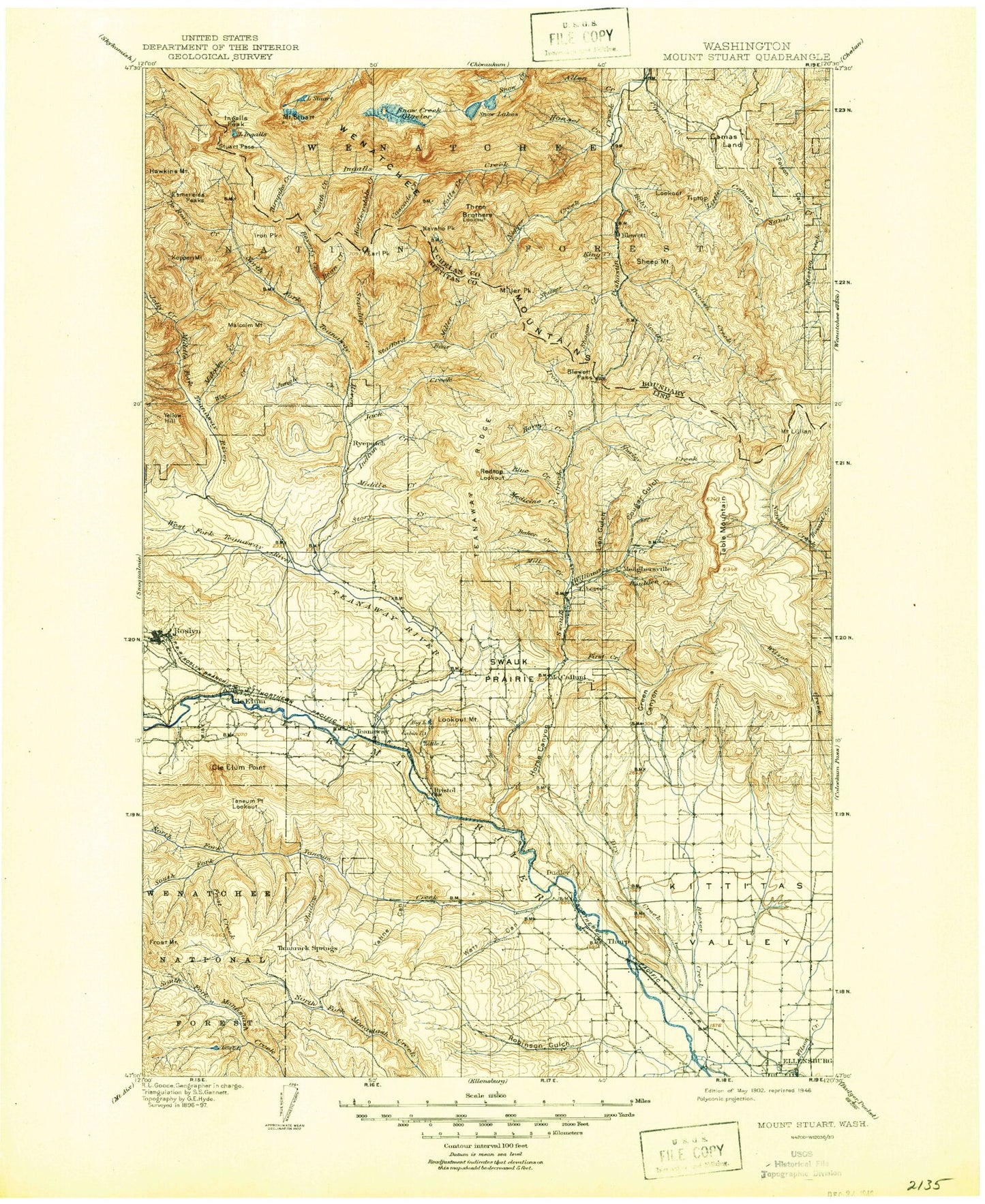
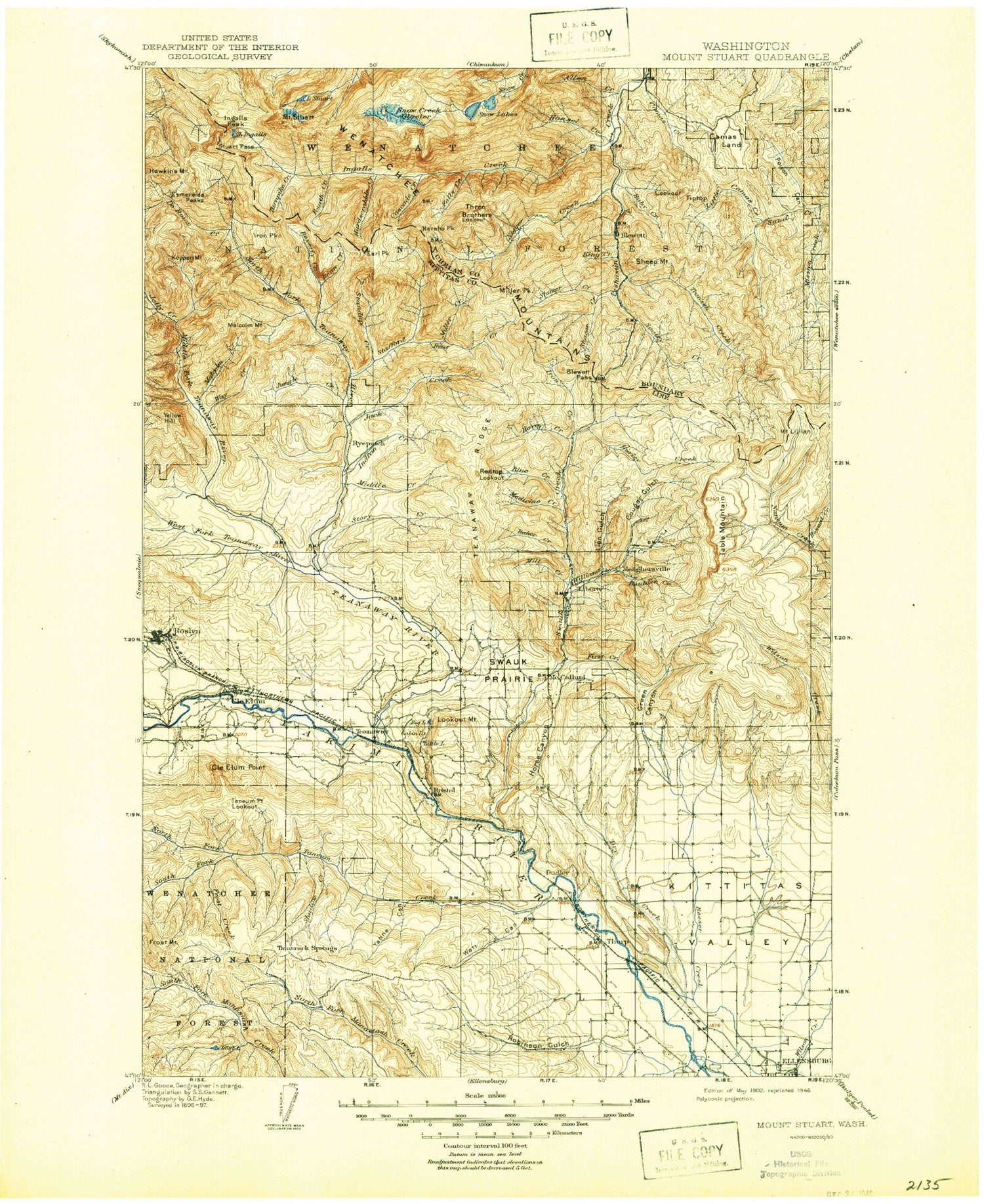
Historic 1902 Mount Stuan Washington 30'x30' Topo Map
Couldn't load pickup availability
Historical USGS topographic map of Mount Stuan in the state of Washington. Scale: 1:125000. Print size: 18" x 24"
This map was published in 1902 and is in the following counties: Chelan, Kittitas.
The map contains contour lines, roads, rivers, towns, streams, and lakes. Printed on high-quality waterproof paper with UV fade-resistant inks.
Contains the following named places: Ainsley Canyon, Allen Creek, Lake Ann, Baker Creek, Balmers Canyon, Bean Creek, Bear Creek, Bear Creek, Beverly Creek, Beverly Campground, Bible Rock Camp, Big Lake, Billy Goat Gulch, Old Blewett Pass, Blewett Summit Trail, Blue Creek, Bonanza Campground, Boulder Creek, Bristol, Bristol Flat, Buck Meadows, Cabin Lake, Camas Creek, Camas Land, Lake Camp Fire Girls, Camp Lake, Camp Seventeen Canyon, Carlson Canyon, Cascade Creek, Case Knife Creek, Cedar Creek, Cedar Creek Meadows, Cedar Grove Campground, Cedar Gulch, Cle Elum, Cle Elum Point, Cle Elum Ridge, Cle Elum River, Colchuck Lake, Colchuck Trail, Cougar Gulch, County Line Trail, Crystal Creek, Culver Gulch, Culver Springs Creek, Currier Canyon, Currier Creek, Curry Canyon, DeRoux Creek, DeRoux Forest Camp, Deer Gulch, Devils Gulch, Diamond Head, Dickey Creek, Dickey Creek Trail, Dingbat Creek, Drop Creek, Drop Creek Spur Trail, Dry Creek, Durst Creek, Earl Peak, East Fork Mission Creek, Eldorado Creek, Ellensburg Power Canal, Enchantment Lakes, Enchantment Peaks, Esmeralda Peaks, Falls Creek, First Creek, First Creek, First Creek Trail, Flag Mountain, Fourth Creek, Frost Creek, Frost Mountain, Gallaher Head, Gallaher Head Lake, Grasshopper Flat, Gnat Flat Trail, Gold Creek Basin, Goodrich Mine, Gooseberry Flat, Green Canyon, Green Canyon Ranch, Greens Canyon, Haney Meadow, Hansel Creek, Hardscrable Creek, Harness Gulch, Hidden Valley, High Creek Trail, Horlick, Horse Canyon, Horseshoe Canyon, Horseshoe Lake, Hovey Creek, Howard Creek, Howard Creek Trail, Hurley Creek, Independence Mine, Indian Creek, Indian John Hill, Ingalls Creek, Lake Ingalls, Ingalls Peak, Inspiration Lake, Iron Bear Creek Trail, Iron Mountain, Iron Peak, Isolation Lake, Jack Creek, Jack Lake, Jack Ridge, Watt Canyon, Johnson Canyon, Johnson Creek, Jolly Creek, Jones Creek, Jungle Creek, Keenan Meadows, King Creek, Kittitas Valley, Koppen Mountain, Lake Stuart Trail, Liars Prairie, Liberty, Liberty Guard Station, Lillard Hill, Mount Lillian, Lion Gulch, Lion Rock, Little Camas Creek, Little Lake, Lllahee Camp, Lodgepole Creek, Lookout Mountain, Lost Lake, Magnet Creek, Magnet Creek Trail, Main Canal, Malcolm Creek, Malcolm Mountain, Manastash Cow Camp, Mason Creek, Medicine Creek, Medra Creek, Middle Creek, Middle Fork Teanaway River, Middle Shaser Creek, Middle Shaser Trail, Mill Creek, Mill Ingalls Creek Trail, Mill Pond, Miller Creek, Miller Peak, Miller Peak Trail, Moonlight Canyon, Morrison Canyon, Mack Creek, Nada Lake, Naneum Meadow, Naneum Meadow Trail, Navaho Peak, Nealey Creek Trail, Etienne Creek, Newman Siphon, Number 5 Canyon, Number 5 Mine, Number 6 Canyon, Number 7 Mine, Number 8 Mine, Number 9 Mine, North Fork Baker Creek, North Fork Bear Creek, North Fork Fortune Creek, North Fork Taneum Creek, North Fork Teanaway River, North Fork Trail, North Shaser Creek, North Shaser Trail, North Winegar Canyon, Old Ellensburg Trail, Old Placer Mine, Osborn Point, Owl Creek, Owl Creek Spur Trail, Page Canyon, Peoh Point, Perfection Lake, Pine Campground, Pine Gulch, Pipe Creek, Poison Canyon, Porcupine Creek, Ragan Way Trail, Rattlesnake Canyon, Red Hill, Red Hill Trail, Red Top Mountain, Reecer Canyon, Riders Cabin, Robbins Canyon, Robinson Canyon, Robinson Creek, Robinson Gulch, Roslyn, Rothlisberger Mine, Ruby Creek, Ruby Creek Trail, Rye Creek, Sand Creek, Sandstone Creek, Scotty Creek, Shadow Creek, Sheep Mountain, Shield Lake, Shirk Creek, Snag Canyon, Snow Creek Glacier, Snow Lakes, Snowshoe Ridge, South Branch Canal, South Cle Elum, South Fork Bear Creek, South Fork Meadow, South Fork Taneum Creek, South Shaser Creek, South Winegar Canyon, Spirit Lake, Sprite Lake, Stafford Creek, Stafford Lookout, Standup Creek, Steiners Canyon, Story Creek, Stuart Pass


