MyTopo
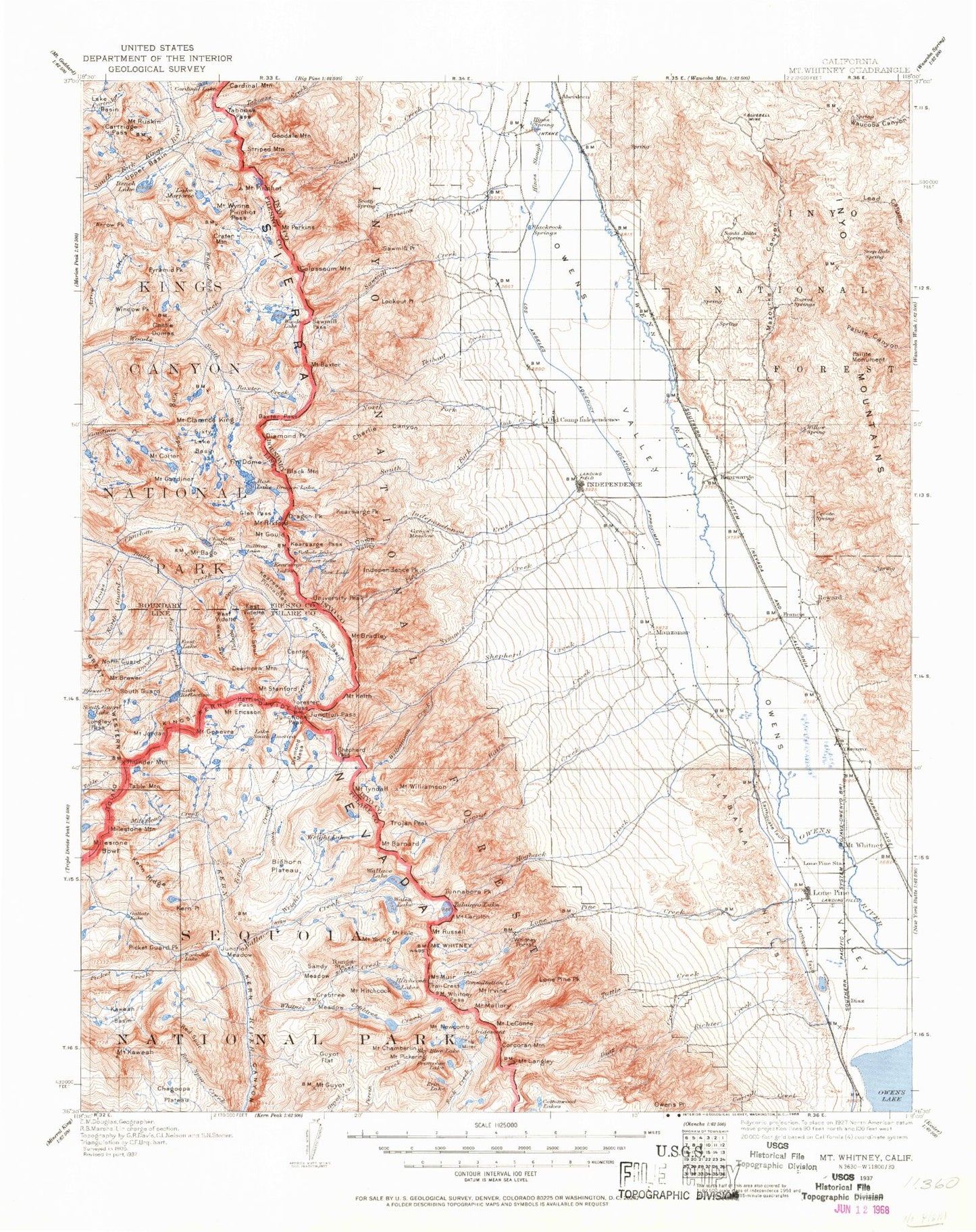
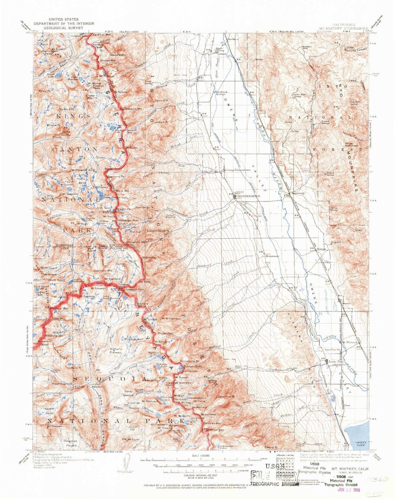
Historic 1937 Mount Whitney California 30'x30' Topo Map
Couldn't load pickup availability
Historical USGS topographic map of Mount Whitney in the state of California. Scale: 1:125000. Print size: 17" x 24"
This map was published in 1937 and is in the following counties: Fresno, Inyo, Tulare.
The map contains contour lines, roads, rivers, towns, streams, and lakes. Printed on high-quality waterproof paper with UV fade-resistant inks.
Contains the following named places: Baxter Lakes, Mount Brewer, Crater Mountain, Deerhorn Mountain, East Lake, East Spur, East Vidette, Eclipse Ditch, Ericson Crags, Mount Ericsson, Gallats Lake, Mount Genevra, Harrison Pass, Hogback Creek, Long John Canyon, Lucys Foot Pass, Midway Mountain, Milestone Bowl, Milestone Creek, Milestone Mountain, Millys Foot Pass, North Guard, North Guard Lake, Owenyo, Red Spur, Lake Reflection, Sawmill Creek, McIver Canal, South Guard, South Guard Lake, The Minster, West Spur, Great Western Divide, Big Cottonwood Meadows, Whitney Portal, Centennial Peak, Mount Whitney, Sierra Nevada, Picket Guard Peak, Lake South America, Table Mountain, Bighorn Plateau, Caltech Peak, Mount Jordan, Junction Meadow, Kaweah Basin, Kaweah Peaks Ridge, Mount Kaweah, Kern Point, Kern Ridge, Kings-Kern Divide, Longley Pass, Ouzel Creek, Rockslide Lake, Thunder Mountain, Vidette Lakes, Aberdeen, Aberdeen Ditch, Acrodectes Peak, Al Rose Canyon, Alhambra Mine, Anvil Camp, Arc Pass, Arctic Lake, Armstrong Canyon, Arrow Peak, Arrow Ridge, Badger Flat, Mount Bago, Bairs Creek, Mount Barnard, Baxter Creek, Baxter Pass, Mount Baxter, Bee Springs Canyon, Bench Lake, Bench Lake, Betty Jumbo Mine, Big Pothole Lake, Big Ram Mine, Bighorn Park, Black Canyon, Black Eagle Mine, Black Mountain, Division Creek Ditch, Blue Bell Mine, Bonanza Gulch, Mount Bradley, Bullfrog Lake, Cardinal Lake, Cardinal Mountain, Mount Carillon, Cartridge Pass, Castle Domes, Mount Cedric Wright, Center Basin, Center Basin Crags, Center Peak, Mount Chamberlin, Charlie Canyon, Charlotte Creek, Charlotte Lake, Mount Clarence King, Clyde Meadow, Colosseum Mountain, Consultation Lake, Mount Corcoran, Mount Cotter, Coyote Canyon, Crabtree Creek, Crabtree Lakes, Crabtree Meadow, Crabtree Ranger Station, Cross Creek, Declaration Mine, Diamond Mesa, Diamond Peak, Diaz Creek, Diaz Lake, Division Creek, Dragon Lake, Dragon Peak, Duck Lake, East Creek, Eightmile Ranch, Erin Lake, Fin Dome, Firecracker Mine, Flower Lake, Forester Pass, Fort Independence Reservation, Gardiner Basin, Gardiner Lakes, Gardiner Pass, Mount Gardiner, George Creek, Gilbert Lake, Glacier Mines, Glen Pass, Golden Bear Lake, Golden Trout Lake, Goodale Creek, Goodale Mountain, Goose Lake, Mount Gould, Grand Group, Grays Meadow, Green Monster Mine, Guyot Flat, Mount Guyot, Heart Lake, Hitchcock Lakes, Mount Hitchcock, Mount Ickes, Independence Creek, Independence Peak, Inyo Creek, Iridescent Lake, Mount Irvine, Jack Black Mine, Joe Devel Peak, Junction Meadow, Junction Pass, Junction Peak, Kearsarge, Kearsarge Group, Kearsarge Pass, Kearsarge Peak, Kearsarge Pinnacles, Keeler Needle, Mount Keith, King Spur, Mount Le Conte, Lead Gulch, Lime Canyon, Little Meysan Lake, Little Onion, Little Pothole Lake, Lone Pine Creek, Lone Pine Lake, Lone Pine Peak, Lone Pine Station, Lookout Point, Lower Boy Scout Lake, Lubken Creek, Mahogany Flat, Mount Mallory, Lake Marjorie, Matlock Lake, Mazourka Canyon, Meysan Lake, Meysan Trail, Mirror Lake, Moiver Canal, Movie Flat, Mule Lake, Mount Newcomb, North Fork Bairs Creek, North Fork Lone Pine Creek, North Fork Lubken Creek, North Fork Oak Creek, North Guard Creek, Oak Creek Campground, Old Whiteside Diggings, Onion Valley, Painted Lady, Winnedumah Paiute Monument, Parker Lakes, Pat Keyes Trail, Mount Perkins, Phoenix Group, Mount Pickering, Picket Creek, Pinchot Pass, Mount Pinchot, Pinnacle Mine, Pinnacle Ridge, Pinyon Creek, Pops Gulch, Primrose Lake, Pyramid Peak, Rae Lakes, Rex Montis Mine, Mount Rixford, Robinson Lake, Rudy Mine, Mount Ruskin, Mount Russell, Sandy Meadow, Santa Rita Flat, Sardine Canyon, Sardine Lake, Sawmill Lake, Sawmill Meadows, Sawmill Pass, Sawmill Point


