MyTopo
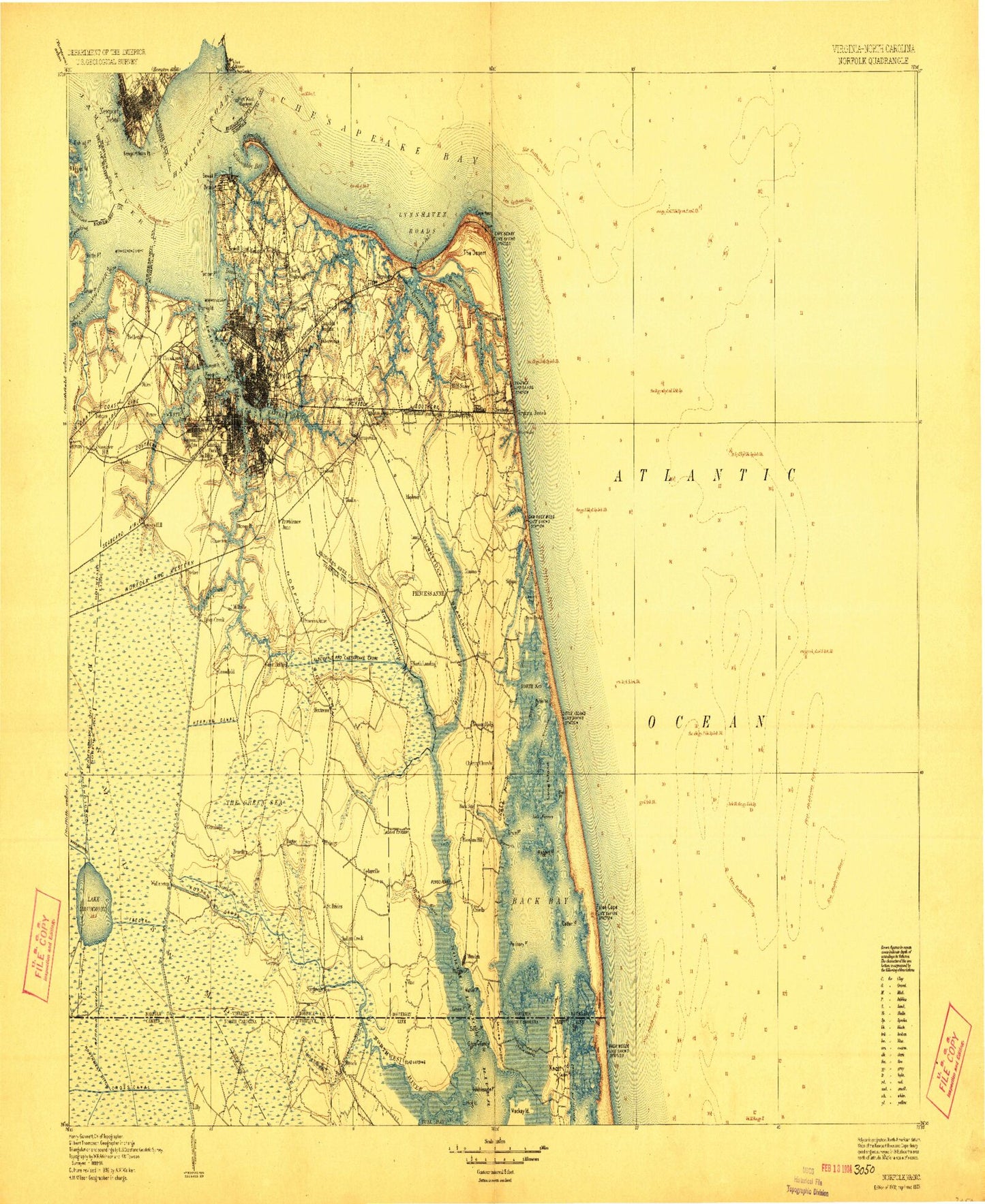
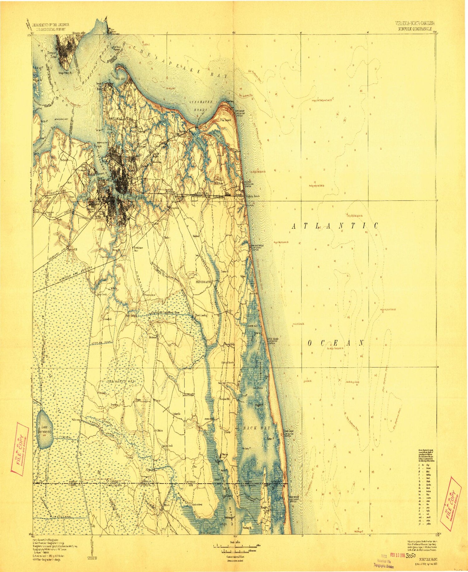
Historic 1902 Norfolk Virginia 30'x30' Topo Map
Couldn't load pickup availability
Historical USGS topographic map of Norfolk in the state of Virginia. Scale: 1:125000. Print size: 17" x 24"
This map was published in 1902 and is in the following counties: -.
The map contains contour lines, roads, rivers, towns, streams, and lakes. Printed on high-quality waterproof paper with UV fade-resistant inks.
Contains the following named places: Chesapeake Channel, Capsies Creek, Deal Island, Great Dismal Swamp, Knotts Island, Mon Island, Morse Point, Northwest River, Porpoise Slough, Sand Ridge, Simpson Neck, Mackay Island National Wildlife Refuge, Simon Island, Candy Island, Cooper Creek, East Island, Fishing Point, Ragged Island Creek, Angle Siding, Ashville Bridge Creek, Avery Island, Back Bay, Back Bay, Back Bay National Wildlife Refuge, Bailey Creek, Baines Creek, Barraud Park, Barrel Point, Batten Bay, Bayville Creek, Beggars Bridge Creek, Belleville, Bennett Creek, Big Ball Island, Big Entry, Big Entry Ditch, Big Island, Big Point, Birchwood-Gardens, Bird Neck Point, Black Gut, Blackwater Creek, Bleakhorn Creek, Blows Creek, Bonney Cove, Bridge Cove, Broad Bay, Broad Creek, Brock Cove, Brown Cove, Buchanan Creek, Man Island, Bush Island Cove, Cape Henry, Cape Henry Memorial, Carol Pond, Carter Point, Cascade Park, Cavalier Park, Cedar Island, Cedar Point, Charity Neck, Charters Island, Lake Christine, Chub Lake, Chuckatuck Creek, Church Point, Cornland, Cowpen Cove, Crab Creek, Craney Island, Craney Island Creek, Craney Island Reach, Crittenden, Croatan Beach, Crumps Bank, Crystal Lake, Dam Neck, Deanes Branch, Deary Cove, Deep Creek, Desert Cove, Devil Creek, Dey Cove, Diamond Springs, Dix Creek, Douglas Landing, Downtown Tunnel, Drum Point, Drum Point, Drum Point Creek, Lake Drummond, Eagles Nest Point, East Ditch, East Haven, Eastern Branch Elizabeth River, Eastern Branch Lynnhaven River, Edgefield, Edgewater Haven, Edgewood, Elizabeth River, Entrance Reach, Entry Ditch, False Cape, Feeder Ditch, Fish House Island, Fivemile Ditch, Ford Park, Foreman Field, Four H Camp, Gall Bush Point, Gallops Corner, Gilligan Creek, Gilmerton Deep Creek Canal, Goose Creek, Grassy Point, Great Cove, Great Narrows, Great Neck, Great Neck Creek, Great Neck Point, Green Point, Gum Swamp, Hammet Cove, Hampton Bar, Hampton Flats, Hatton Point, Heaven Point, Hebden Cove, Hell Point Creek, Hickory, Hickory Ground, High Dune Trail, Hill Point, Hills Corner, Hodges Creek, Hoffler Creek, Hog Pen Neck, Lake Holly, Horse Island, Hull Creek, Humes Island, Indian Creek, Indian River, Jacks Camp, James Swamp, Jolliff, Jones Creek, Lake Joyce, Keeling Cove, Keeling Drain, Lake Kingman, Kings Creek, Knight Point, Knitting Mill Creek, Knotts Creek, Knotts Neck, Lafayette Park, Lagoon Trail, Lakeside Park, Lakewood Park, Lamberts Point Terminal, Land of Promise, Landing Cove, Landtown, Lake Lawson, Lilly Creek, King-Lincoln Park, Lindsey Canal, Linkhorn, Linkhorn Bay, Linkhorn Point, Little Ball Island, Little Cedar Island, Little Creek, Little Creek Channel, Little Creek Cove, Little Haven, Little Neck, Little Neck Creek, London Bridge Creek, Long Creek, Long Creek Trail, Long Island, Lovett Point, Lovetts Marsh, Lower Reach, Lynnhaven, Lynnhaven Bay, Lynnhaven Inlet, Lynnhaven Roads, Macons Corner, Main Trail, Mains Creek, Malbon Swamp, Maple Hall, Mapleton, Mapps Point, Mason Creek, Meadow Lake, Mears Corner, Middle Reach, Midtown Tunnel, Mill Dam Creek, Mill Dam Creek, Milldam Creek, Milldam Creek, Mose Island Point, Muddy Creek, Nawney Creek, New Mill Creek, Newport News Bar, Newport News Channel, Newport News Creek, Newport News Middle Ground, Newport News Point, Newsome Farm, Newton Creek, Nimmo, Norfolk Municipal Azalea Gardens, North Bay, North Ditch, North Thimble Island, Northwest Canal, Oakum Creek, Ohio Creek, Old Cape Henry Lighthouse, Osmanthus Trail, Owl Creek, Paradise Creek, Pellitory Point, Pescara Creek, Pike Point, Pinetree Branch, Pinner Point, Pleasant Ridge


