MyTopo
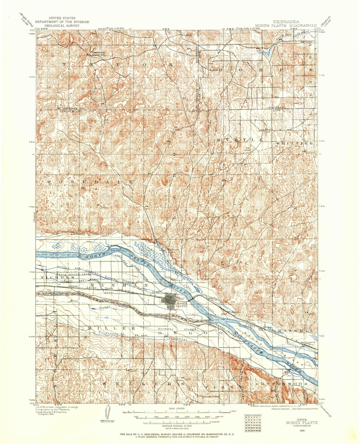
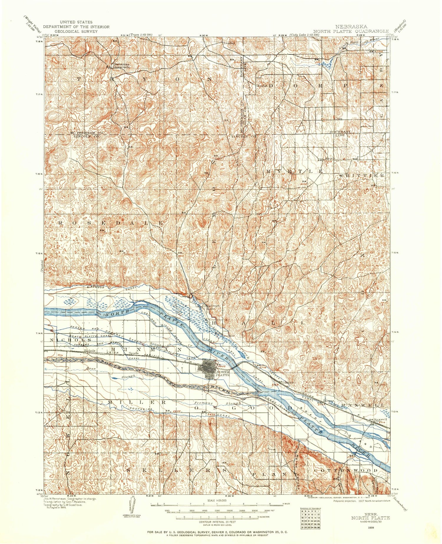
Historic 1899 North Platte Nebraska 30'x30' Topo Map
Couldn't load pickup availability
Historical USGS topographic map of North Plattein the states of Nebraska, Colorado, Wyoming. Scale: 1:125000. Print size: 17" x 24"
This map was published in 1899 and is in the following counties: Lincoln, Logan, McPherson.
The map contains contour lines, roads, rivers, towns, streams, and lakes. Printed on high-quality waterproof paper with UV fade-resistant inks.
Contains the following named places: North Platte River, Beer Slough, Birdwood Canal, Box Elder Canyon, Brandy Island, Buffalo Bill Ranch State Park, Centennial Park, Cody Park, Cottonwood Canyon, Duck Island, Fowler Ranch, Fremont Slough, Fremont Slough, Garfield Table, Goose Island, Hadley Barrett IX Ranch, Horseshoe Bar Ranch, Lamplaugh Lake, Lake Maloney, Maranatha Bible Camp, Maxwell, Melvin Ranch, Memorial Park, Moran Canyon, North Platte, North Platte Canal, Nowak Ranch, Outlet Canal, Rundback Ranch, Scout Creek, Scout Island, Sioux Lookout Historical Monument, Sivits Ranch, South Platte River, Stapleton, Stewart Ranch, Wilcox Ranch, Beck, Bignell, Birdwood, Keith, Lincoln County, Correll Ranch, Gragg Ranch, Hoban Ranch, Pullen Ranch, Rundback Ranch, Stoddard Ranch, The Old Homestead Ranch, White Horse Creek, North Platte Country Club, North Platte Fish Hatchery, Hansen Dam, Hansen Reservoir, Earth Dam-Canal Mile 135 Dam, Earth Dam-Canal Mile 128 Dam, Earth Dam-Canal Mile 95 Dam, Moran Dam-Canal Mile 57 Dam, Upper Diversion Dam, Ross Dam, Ross Reservoir, Eisenhower Park, Kriz Park, Fort McPherson Campground, Morgans Hide-A-Way Campground, Two Tree Island, Lake Maloney State Recreation Area, Fort McPherson Historical Marker, Cottonwood Canyon State Wildlife Management Area, Pawnee Slough State Wildlife Management Area, Box Elder Canyon State Wildlife Management Area, Platte State Wildlife Management Area, Fremont Slough State Wildlife Management Area, East Hershey State Wildlife Management Area, East Hershey Lake, Indian Meadows Golf Course, Iron Eagle Golf Course, Hershey State Wildlife Management Area, Hershey Lake, Muskrat Run State Wildlife Management Area, Lake Maloney Golf Course, Frontier Resort and RV Park, Interstate Park, Holiday Trav-L-Park for Campers, Maxwell, Fort McPherson Historical Marker, Scouts Rest Historical Markers, Buffalo Bill Trail, Birdwood Lake, Birdwood Lake State Wildlife Management Area, Buffalo Bill State Recreation Area, North Platte, Union Pacific Bailey Yard and Information Center, Buffalo Bill Wild West Rodeo Arena, Lincoln County Fairgrounds, Orabella Park, Jim Carpernter Memorial Men/Women Softball Complex, Wayne Dowhower Memorial Softball Complex for Girls, Bill Wood Field, Westfield Shopping Center, The Mall, North Platte Plaza, Sioux View Park, Tri States Trailer Court, Green Acres Trailer Court, Mobile Manor, Key Estates, Village Square, Cody Park Campground, A-1 Sunset Mobile/RV Park, Hall Election Precinct, Hinman Election Precinct, Lemley Election Precinct, North Platte Election Precinct, Osgood Election Precinct, Rosedale Election Precinct, Stapleton Number 2 Election Precinct, City of North Platte, Village of Hershey, Village of Maxwell, Village of Stapleton, North Platte River, South Platte River, North Platte River


