MyTopo
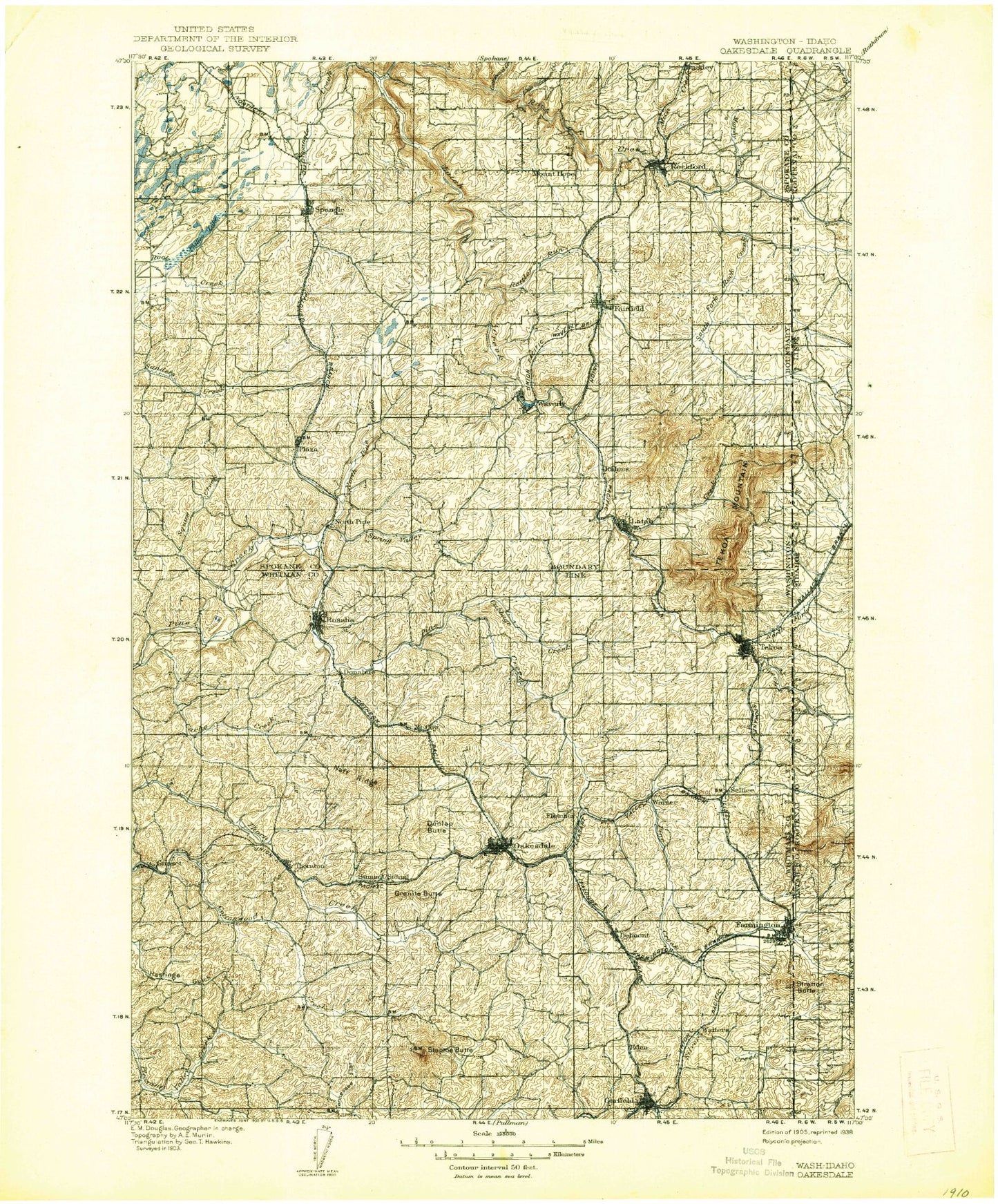
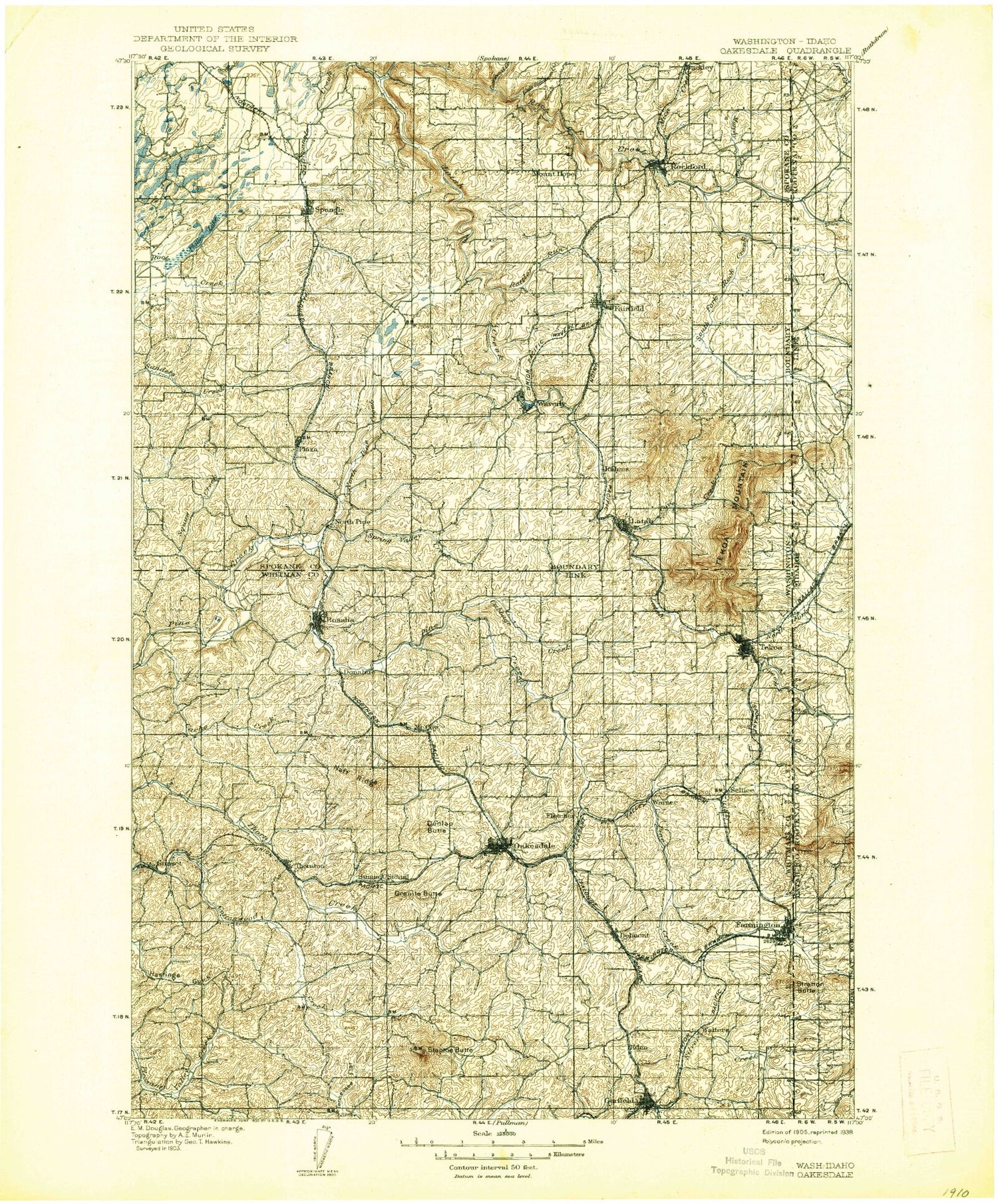
Historic 1905 Oaksdale Washington 30'x30' Topo Map
Couldn't load pickup availability
Historical USGS topographic map of Oaksdalein the states of Washington, Idaho. Scale: 1:125000. Print size: 17" x 24"
This map was published in 1905 and is in the following counties: Benewah, Kootenai, Latah, Spokane, Whitman.
The map contains contour lines, roads, rivers, towns, streams, and lakes. Printed on high-quality waterproof paper with UV fade-resistant inks.
Contains the following named places: Little Hangman Creek, Rose Creek, South Fork Rock Creek, North Fork Pine Creek, South Fork Pine Creek, McGowan Butte, Willard, Cabbage Creek, Cache Creek, Cottonwood Creek, Cove Creek, Deadman Creek, Fairfield, Garfield, Gelbert Mountain, Granite Butte, La Shaw School, Little Cottonwood Creek, McCoy Creek, McIntosh Grange, Mica Creek, Morefield Butte, Murphy Creek, Muskrat Lake, Naff Ridge, North Pine Creek, Oakesdale, Ochlare Creek, Philleo Lake, Rock Creek, Rockford, Rosalia, Spring Creek, Spring Valley Creek, John Paulson Creek, Starr Butte, Steptoe, Steptoe Butte, Steptoe Butte State Park, Steptoe Memorial State Park, Stratton Butte, Tennessee Flat, Tekoa, Thornton, Willow Creek, Willow Creek, Jefferson, Fisher Creek, Courtney Canyon, Kelley Creek, Balder, Cashup, Coey, Crabtree, Darknell, Donahue, Dynamite, Fairbanks, Flaig, Freedom, Lone Pine, McCoy, Mount Hope, North Pine, Robinson, Saxby, Seltice, Sokulk, Spring Valley, Sunset, Wallner, Walters, West Fairfield, Willard, Seabury, Hansens Pond, Pandora, Awtskin Canyon, Freedom, Rollins, Hansen Butte, Latah, Malden, Plaza, Spangle, Steam Shovel Hill, Tekoa Mountain, Waverly, John Wayne Trail, Belmont, Eden, Rahm, Rattler Run Creek, Warner, Fletcher, Curlew, Rock Creek Valley, Stringtown, Farmington, North Fork Rock Creek, Rock Creek Gun Club, Hanging Tree Historical Monument, George Wright Camp/Treaty Site, Rockford Division, Rosalia Division, Garfield-Oakesdale Division, Tekoa Division, St'umt'umm Mountain, City of Tekoa, Town of Rockford, Town of Rosalia, Town of Fairfield, Town of Farmington, Town of Garfield, Town of Latah, Town of Malden, Town of Oakesdale, City of Spangle, Town of Waverly, Liberty Butte, Little Hangman Creek, Rock Creek Valley, Rose Creek, South Fork Rock Creek, Lovell Valley, Moctileme Creek, North Fork Pine Creek, South Fork Pine Creek, McGowan Butte, Setters, Willard, Tilmo, Palmer Butte, Rock Creek, Stratton Butte, North Fork Rock Creek


