MyTopo
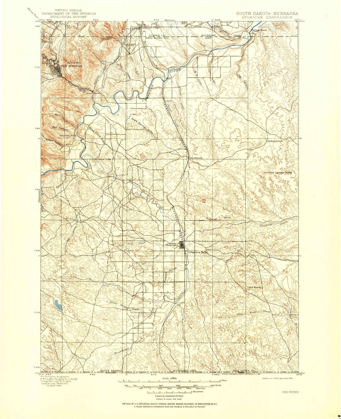
Historic 1900 Oelrichs South Dakota 30'x30' Topo Map
Couldn't load pickup availability
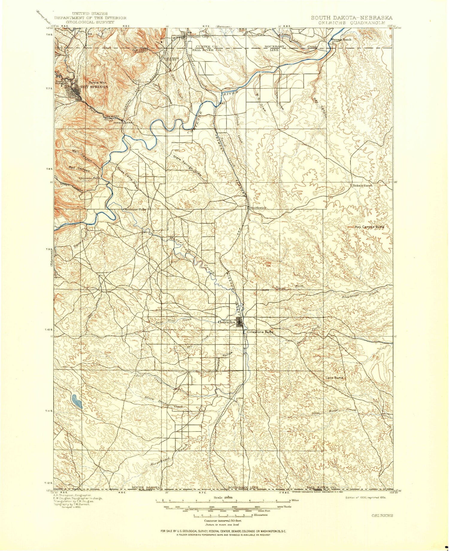
Historical USGS topographic map of Oelrichsin the states of South Dakota, Nebraska. Scale: 1:125000. Print size: 17" x 24"
This map was published in 1900 and is in the following counties: Custer, Dawes, Fall River, Oglala Lakota.
The map contains contour lines, roads, rivers, towns, streams, and lakes. Printed on high-quality waterproof paper with UV fade-resistant inks.
Contains the following named places: Collingwood Creek, Buffalo Gap, Slate Spring Draw, Adams Canyon, Angostura Dam, Angostura Reservoir, Battle Mountain, Beaver Creek, Big Flat, Black Banks Creek, Boehniein Canyon, Brady Canyon, Cold Brook, Cold Brook Canyon, Dry Creek, Dudley Canyon, Elm Creek, Fall River, First Black Canyon, Green Canyon, Hay Canyon, Hay Canyon Butte, Horse Camp Draw, Horsehead Creek, Hot Brook, Hot Brook Canyon, Iron Draw, Jim Wilson Canyon, Knapple Canyon, Larive Lake, Limestone Butte, Lone Well Creek, Middle Knappie Canyon, North Fork Blacktail Creek, North Knappie Canyon, Oelrichs, Plumb Creek, Preacher Canyon, Red Canyon, Sand Creek, Seven Sisters Range, Sheps Canyon, Slaughterhouse Canyon, Smithwick, South Knappie Canyon, Spring Canyon, Spring Creek, Tepee Creek, Tepee Mountain, W G Draw, W G Flat, Wall Canyon, Willow Creek, Oil Well Dam Number 2, Trout Dam, Peterspuddle Dam, Williams Dam, Oil Well Dam Number 1, E E Pettegrew Dam, Pettigrew Dam, Charlie Waters Dam, Big Dam, Canal Dam, Romey Irrigation Dam, Reaser Stock Dam, Bogner Dam, Carl Kannolt Dam, Hald Ranch Pond Dam, Pettigrew Pond Number 2 Dam, Pettigrew Pond Number 1 Dam, E E Pettegrew Dam Number 2, Bailey Pond Number 1 Dam, Cope Dam, Cold Brook Dam, Limestone Butte Dam, Little Trickle Tube Dam, Goodnick Dam, Angostura Grazing Pond Number 2 Dam, Angostura Grazing Pond Number 1 Dam, County Line Dam, Barta Crooked Dam, South Dam, Burgess Big Dam, Hay Canyon Dam, Haystack Butte Dam, Ebersoll Dam, Bert Thompson Number 1 Dam, Middle Kneebone Draw, West Kneebone Draw, Cold Brook Reservoir, Limestone Butte Reservoir, South Dakota State Soldiers Home, Maverick Junction, Angostura Reservoir State Recreation Area, Heiser Pond Dam, White River Divide, Hot Springs, Oral, Bockert Dam, Bockert Reservoir, Battle Mountain Reserve, School Section Creek, Dry Lake, Sandoz Dam, Windy Butte, Kennedy Creek, Rock Butte Creek, Day Creek, Duck Creek, Medicine Creek, Heinne Creek, Lone Butte, Antelope Hollow, Beef Creek, South Black Banks Creek, North Black Banks Creek, Angostura Canal, Lame Johnny Creek, Town of Buffalo Gap, City of Hot Springs, Unorganized Territory of Northeast Fall River, Town of Oelrichs, Township of Pleasant Hill, Township of Loomer, Township of Slim Butte, Township of Harmony, Township of Duck Creek, Township of Flat Butte, Township of Smithwick, Township of Mess, Township of Lincoln, Township of Limestone, Township of Dryden, Township of Lonewell, Township of Forney, Township of Lithia, Township of W G Flat, Township of Beaver, Fall River Feedyard, Angostura, Collingwood Creek, Horsehead Creek


