MyTopo
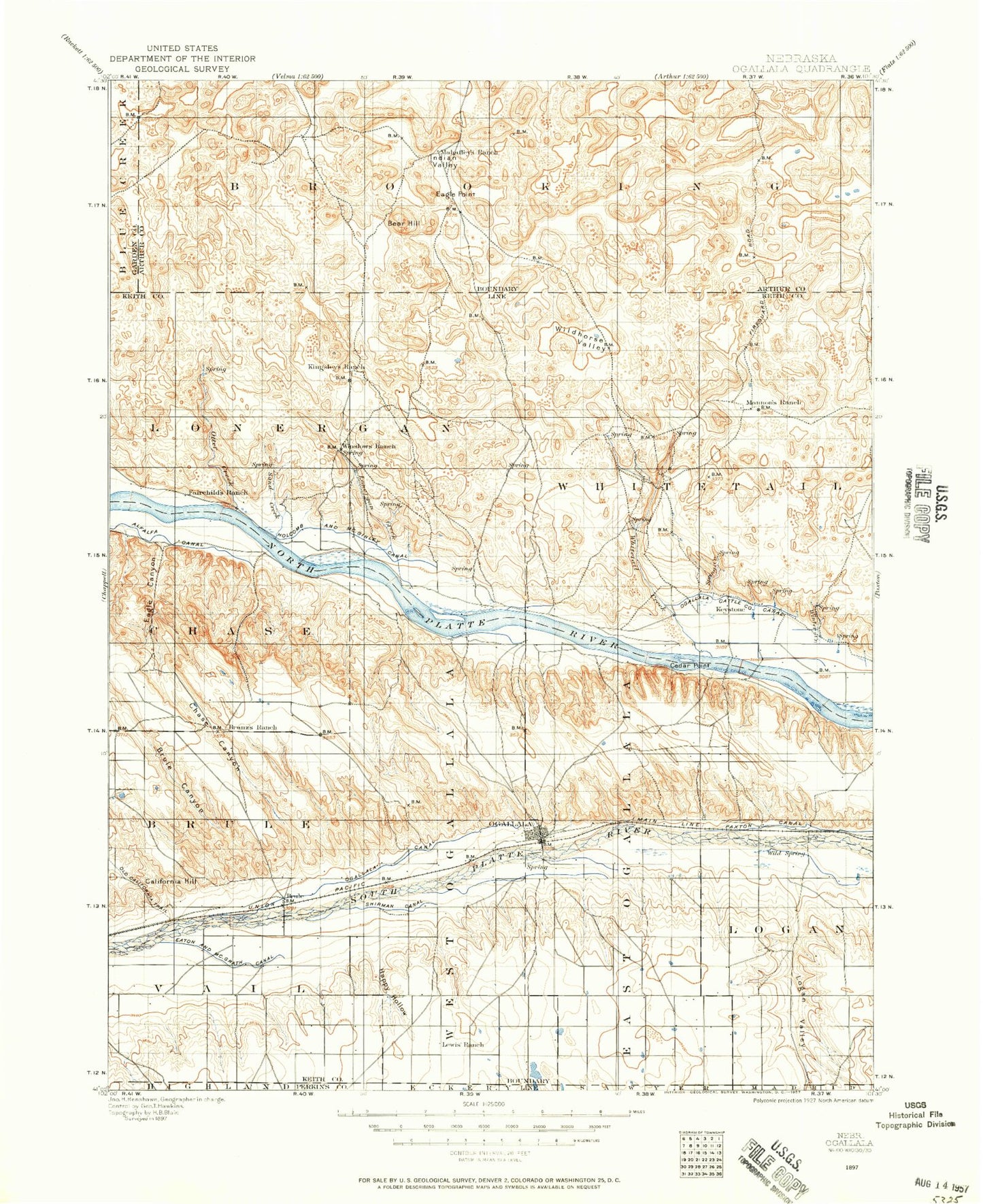
Historic 1897 Ogallala Nebraska 30'x30' Topo Map
Couldn't load pickup availability
Historical USGS topographic map of Ogallala in the state of Nebraska. Scale: 1:125000. Print size: 18" x 24"
This map was published in 1897 and is in the following counties: Arthur, Garden, Keith, Perkins.
The map contains contour lines, roads, rivers, towns, streams, and lakes. Printed on high-quality waterproof paper with UV fade-resistant inks.
Contains the following named places: Ackley Lake, Ackley Valley, Ackley Valley Ranch, Arthur Bay, Ash Camp Canyon, Baumann Ranch, Bear Hill, Beeken Ranch, Berry Gulch, Berry Lake, Berry Ranch, Brogan Ranch, Broken Axle Ranch, Brule, Brule Canyon, Cedar Point Camp, Cerny Ranch, Chase Canyon, Coyote Canyon, Curry Ranch, Dale Corfield Ranch, Dean Simpson Ranch, Draucker Ranch, Eagle Canyon, Eagle Point, Enfield Ranch, Erie Corfield Ranch, Fejt Ranch, Glinn Ranch, Graham Ranch, Happy Hollow, Hazen Ranch, Hiner Ranch, Indian Valley, Kelly Canyon, Keystone, Keystone Diversion Dam, Keystone Station, Kingsley Dam, Lake Ogallala State Recreation Area, Landis Ranch, Larsen Ranch, Lemoyne, Lonergan Creek, Mannon Valley, Martin Bay, Lake McConaughy, McGinley Ranch, Meismer Ranch, North Park, O'Brien Canyon, Ogallala, Ogallala Gulch, Ogallala Lake, Orr Ranch, Otter Creek, Packard Ranch, Peterson Crouse Ranch, Peterson Ranch, Pioneer Park, Powers Ranch, Robert Simpson Ranch, Roscoe, Roscoe Draw, Sand Creek, Smith Lake, South Park, Spotted Horse Valley, Spring Creek, Thoelecke Valley, Vasa Ranch, Whitetail Creek, Wildhorse Valley, Williams Ranch, Williams Ranch, Wilson Ranch, Belmar, Broganville, Martin, McKeag, Megeath, Keith County, Ogallala Country Club, Detention Dam 1, Western Irrigation District Reservoir, Cure Creek Dam 1-A, Cure Creek Reservoir 1-A, Detention Dam 1-A-1, Brule Creek Reservoir 1-A, Ogallala Dam East, Ogallala Dam West, Platte Valley Diversion-1 Dam, Keystone Pond-Lake Ogallala, Western Irrigation District Number 1 Dam, Ogallala Westbound Travel Information Center, Ogallala Eastbound Travel Information Center, Keith County Fairgrounds, Farmer Co-operative Association Elevator, Roscoe, Ogallala, L and L Mobile Home Park, Colister Park, Humphreys Pond, West Park, Legion Field, Glines/Nye Park, Williams Park, Searle Park, Lemoyne Mobile Home Park, Lemoyne, Admirals Cove Resort, Beals Trailer Court, Jacks Bean Company Elevator, Brule, Cozy Country Cove, Gold Dust Campground, Open Corral Campground, Meyer Camper Court, Riverside Campground, Caddi Shack Campground, Spillway Park, Spillway Bay, Spillway Bay Campground, Kingsley Lodge Campground, Ogallala Beach Campground, No Name Bay, Martin Bay Campground, Arthur Bay Campground, Lake View Campground, Vans Lakeview Fishing Camp and Campgrounds, Sandy Beach Campground, North Shore Campground, Lemoyne Campground, North Shore Lodge, Spring Park Campground, Sand Creek Campground, Otter Creek Campground, JS Otter Creek Resort and RV Park, Eagle Gulch Campground, Cedar Vue Campground, Omaha Beach Campground, Lake Ogallala Trail, Ogallala Trail, Cowboy Capital Historical Marker, Boot Hill Historical Marker, California Hill Historical Marker, Ogallala Rest Area - Eastbound, Ash Hollow Historical Marker, Ogallala Historical Marker, Ogallala Rest Area - Westbound, Court House Chimney Rock and Scotts Bluff Historical Marker, Lake McConaughy State Recreation Area, Brule Election Precinct, Logan Election Precinct, Lonergan Election Precinct, Rural Ogallala Election Precinct, Whitetail Election Precinct, City of Ogallala, Village of Brule


