MyTopo
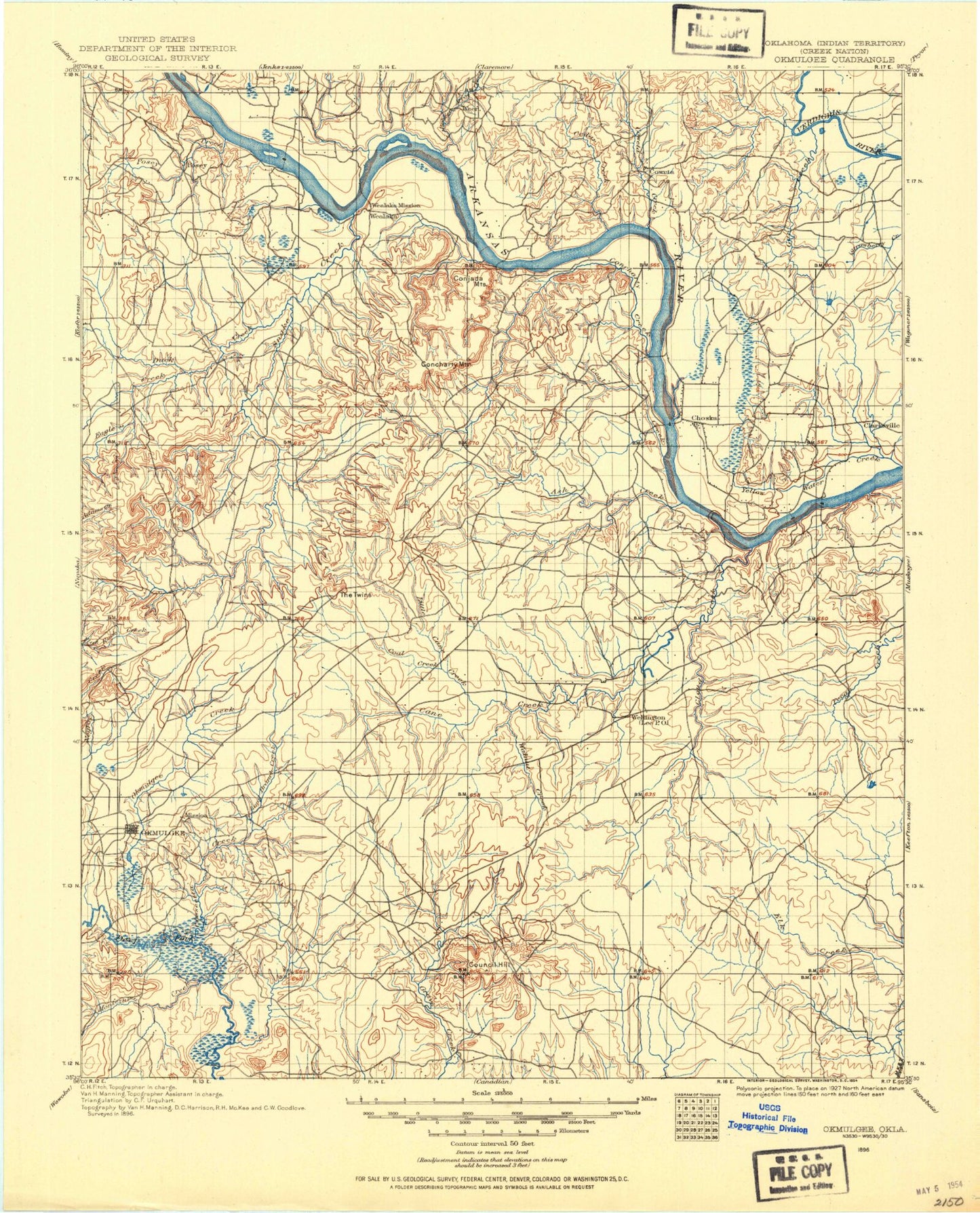
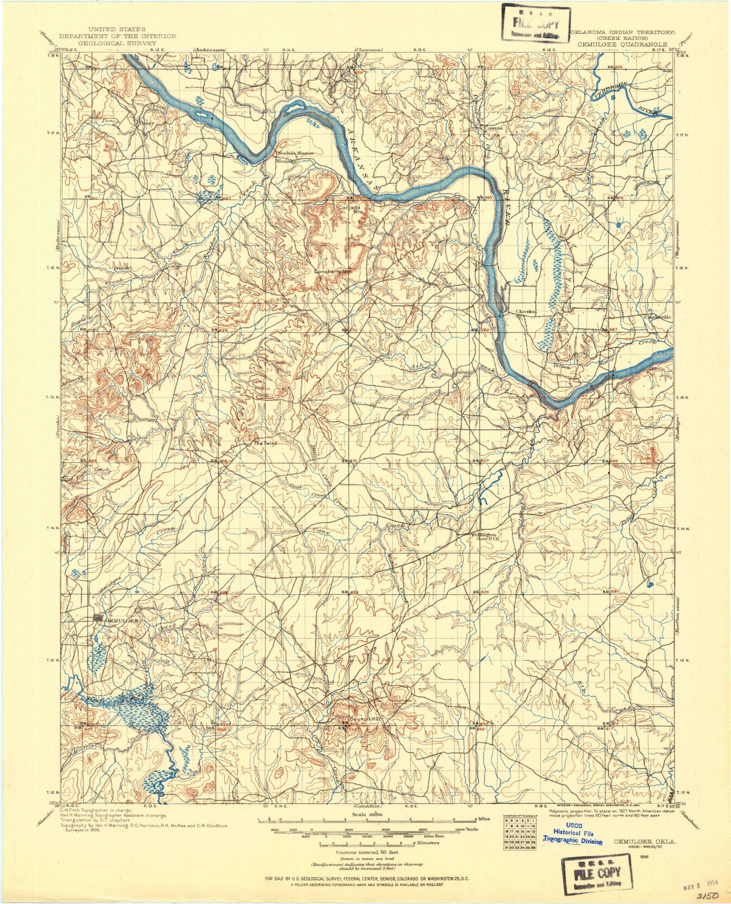
Historic 1896 Okmulgee Oklahoma 30'x30' Topo Map
Couldn't load pickup availability
Historical USGS topographic map of Okmulgee in the state of Oklahoma. Scale: 1:125000. Print size: 17" x 24"
This map was published in 1896 and is in the following counties: Cherokee, McIntosh, Muskogee, Sequoyah, Wagoner.
The map contains contour lines, roads, rivers, towns, streams, and lakes. Printed on high-quality waterproof paper with UV fade-resistant inks.
Contains the following named places: Abidoe Hollow, Afton Landing Recreation Area, Agency Hill, Anderson Creek, Aqua Park, Arrowhead Point Public Use Area, Bacone, Bald Hill, Bald Knob, Bayou Manard, Beetle Bluff, Big Branch, Big Creek, Billy Creek, Biscuit Hill, Blackberry Hill, Blue Mound, Bob Warren Mountain, Bobtail Creek, Bondinot Creek, Boughtman Hollow, Braggs, Braggs Mountain, Brewer Bend, Brewer Bend Public Use Area, Brown Mountain, Brushy Branch, Brushy Hill, Brushy Mountain, Burnt Cabin Creek, Burnt Cabin Ridge State Park, Butler Creek, Butler Hill, Buzzard Hollow, Buzzard Roost Hollow, Bynum Ridge, Cactus Hill, Camp Gruber, Canyon Road Public Use Area, Cedar Bluff, Cedar Creek, Cedar Hollow, Cherokee State Game Refuge, Chimney Mountain, Chouteau Dam, Chucalate Hill, Civitan Park, Clinging Creek, Coal Creek, Coal Creek, Coal Creek Recreation Area, Cockrun Hollow, Coody Creek, Cook Hollow, Correll Branch, Corta Creek, Crossland Hill, Dam Site Public Use Area, Deadman Hollow, Deep Branch, Deep Branch, Devils Peak, Dog Branch, Dogwood Creek, Double Spring Creek, Dripping Spring Hollow, Dry Branch, East Spaniard Creek, Elk Creek, Elliott Park, Eureka Spring Branch, Eureka Valley, Fern Mountain, Fire Branch, Fire Tower Hill, Flint Ridge, Flower Creek, Fort Gibson, Fort Gibson Dam, Fort Gibson Lake, Fort Gibson Stockade, Fourmile Branch, Fourteen Mile Hills, Fourteenmile Creek, Georges Fork, Gibson, Gibson Hollow, Gooseneck Bend, Gore, Grandview Heights, Grapevine Mountain, Greenleaf Creek, Greenleaf Lake, Greenleaf Lake State Park, Gruber State Game Management Area, Gulager Spring Branch, Gullick Park, Hawkins Mountain, Hickory Creek, Hicks Branch, Hicks Hill, Hinton Hollow, Hofschulte Hill, Honey Springs Branch, Honor Heights Park, Hopewell Park Public Use Area, Horseshoe Lake, Hulbert, Hulbert Landing Public Use Area, Hyde Park, Iron Spring Hollow, Jackson Bay, Jackson Bay Recreation Area, Jim Brown Hollow, Joe Branch, Johnny Iron Hill, Kale Dick Hollow, Katy Lake, Keefton, Keener Knob, Kolpin Mountain, LaRue Branch, Lakeland Shopping Center, Limestone Hill, Limestone Hollow, Linder Bend Creek, Linder Branch, Linder Mountain, Little Greenleaf Creek, Long Bay, Long Bay Recreation Area, Lucy Albirdie Flat, Mallard Bay, Mallard Bay Recreation Area, Maple Park, McGee Hollow, Merford Ridge, Mill Creek, Milligan Bend, Money Bean Hollow, Morrison Mountain, Muskogee, Negro Hill, Neosho River, Nichols Hollow, North Bay, Norwood Mountain, Ogles Mountain, Okay, Oktaha, Old Channel Verdigris River, Optimist Park, Padgett Bluff, Paradise Hill, Pecan Creek, Pecan Creek, Pecan Park Recreation Area, Peckerwood Hill, Pine Creek Cove State Park, Pine Hollow, Port of Dunkin, Port of Muskogee, Pot Hollow, Pumpkin Center Pond, Ranger Creek, Ranger Hills, Rattlesnake Branch, Rattlesnake Mountains, Red Berry Mountain, Red Bird Smith Creek, Reinhardt Lake, Rentiesville, Rider Mountain, Robison Park, Rock Bluff, Rogers Pond, Rooney Park, Ross Lake, Rotary Park, Round Mountain, Round Mountain, Round Top Mountain, Runnels Mountain, Runyan Bluff, Salt Branch, Salt Branch, Salt Creek, Salt Creek, Salt Spring Mountain, Sam Creek, Sand Creek, Sausbee Mountain, Sawmill Hollow, Sellers Mountain, Sequoyah Bay Recreation Area, Sequoyah State Park, Shimoon Lake, Short Mountain, Sleeper Hollow, Spaniard Creek, Spaniard Creek, Spaniard Creek Public Use Area, Spaulding Park, Spurlop Mountain, Star Lake, Stick Ross Mountain, Strawberry Creek, Strayhorn Landing Public Use Area, Sugar Hollow, Sugar Mountain, Sulphur Branch, Summit, Taylor Creek, Taylor Ferry, Taylor Ferry North Recreation Area, Taylor Ferry South Recreation Area, Tenkiller Ferry Dam, Thompson Mountain, Tiener Branch, Timberly Creek, Toppers, Tower Hill, Tullahassee, Tullahassee Loop Recreation Area, Turner Hill Park, Vans Lake, Verdigris River, Waford Mountain, Wagoner, Wahoo Bay Public Use Area, Walker Branch, War Memorial Park, Warner Mountain, Wayside Creek, Webbers Falls, Webbers Falls Lock and Dam


