MyTopo
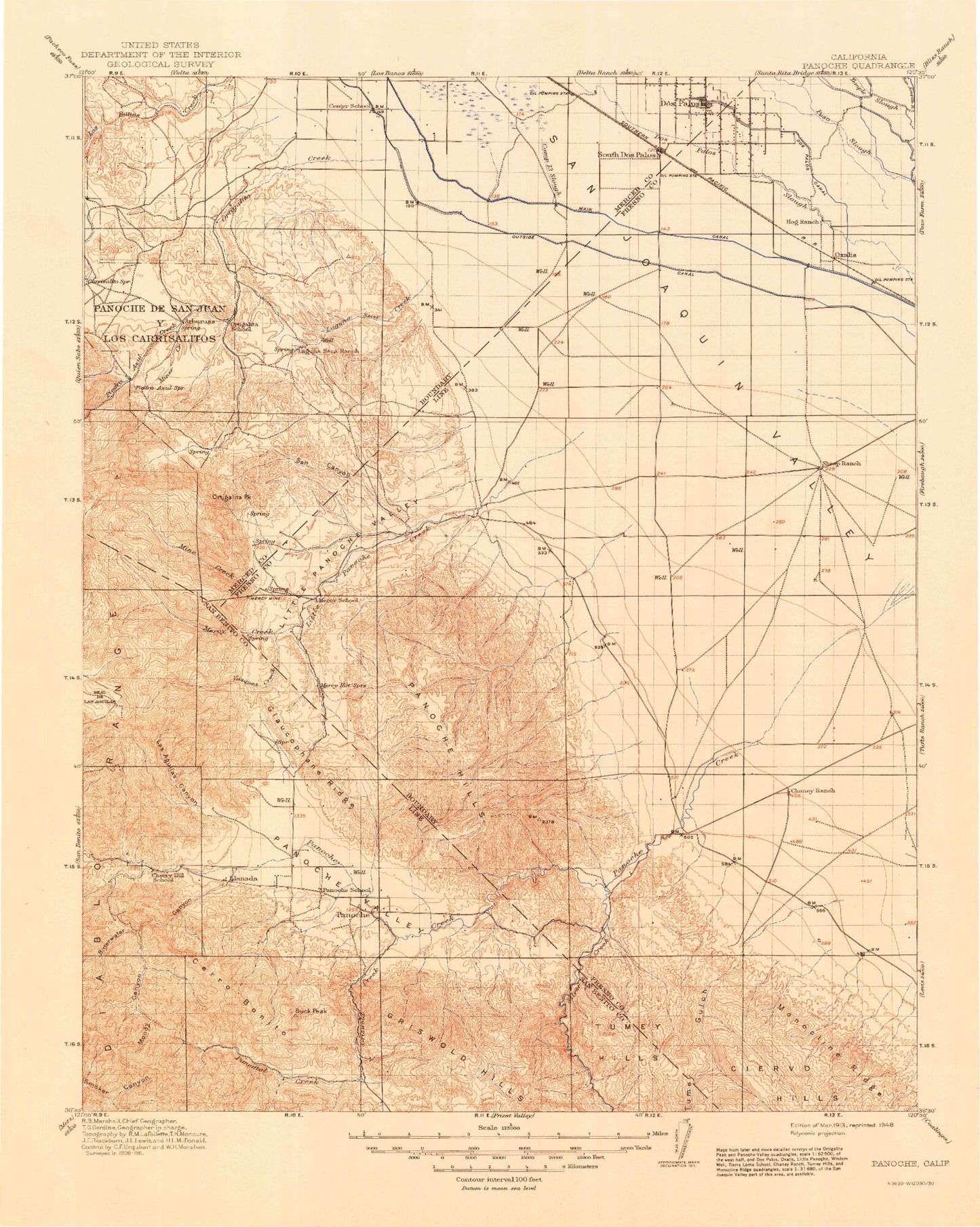
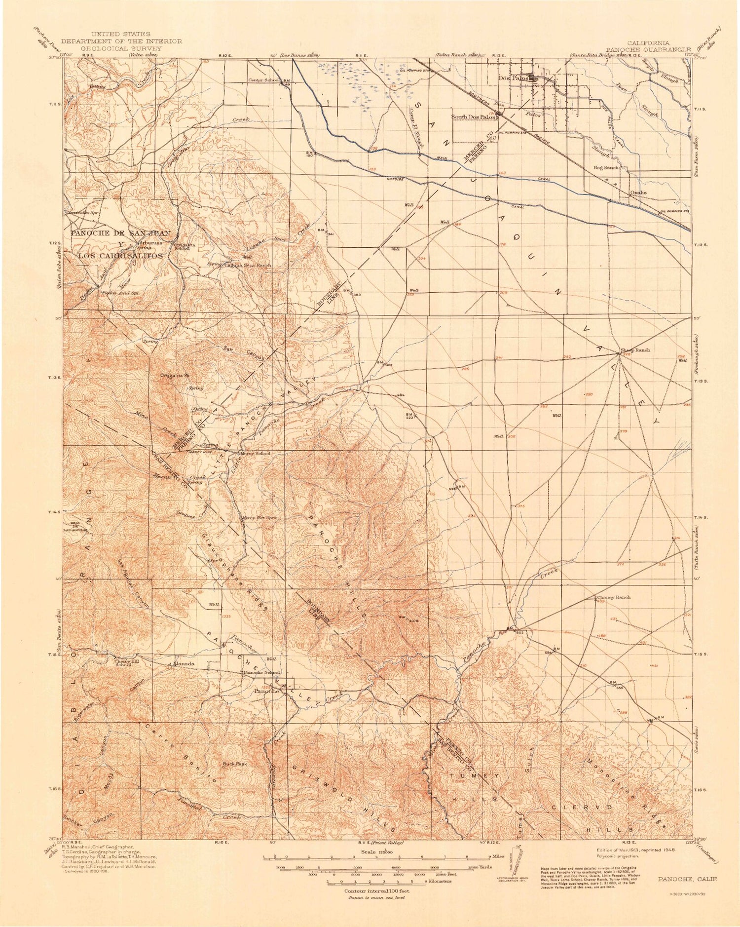
Historic 1913 Panoche California 30'x30' Topo Map
Couldn't load pickup availability
Historical USGS topographic map of Panoche in the state of California. Scale: 1:125000. Print size: 17" x 24"
This map was published in 1913 and is in the following counties: Fresno, Madera, Merced, San Benito.
The map contains contour lines, roads, rivers, towns, streams, and lakes. Printed on high-quality waterproof paper with UV fade-resistant inks.
Contains the following named places: Arburua Ranch, Arroyo Padre Flat, Barneich Ranch, Belmont Farms, Bitterwater Canyon, Buck Peak, Buckeye Canyon, Capita Canyon, Carrisalito Flat, Cedar Flat, Cedar Flat Canyon, Cerro Colorado, Chaney Ranch Canyon, Chileno Creek, Chounet Ranch, Cima Hill, Clough Canyon, Dosados Canyon, Ely Ray Mine, Escarpado Canyon, Gable Ranch, Gadwall Canal, Glaucophane Ridge, Gramis Ranch, Gres Canyon, Hamburg Farms, Hammonds Ranch, Horse Canyon, Indian Valley, Laguna Seca Ranch, Las Aguilas Canyon, Little Panoche Reservoir, Log Cabin Canyon, Lone Oak Mine, Los Banos Detention Dam, Los Banos Reservoir, Lucky Strike Mine, Lyon and Hoag Ranch, Marca Canyon, Mercey Creek, Mercey Mine, Meyers Peak, Mine Canyon, Mine Creek, Miner Creek, Molina Canyon, Moody Canyon, Moreno Gulch, Murphy Ranch, Nonada Hill, Ortigalita Creek, Ortigalita Peak, Panoche Mountain, Piedra Azul Canyon, Piedra Azul Creek, Pilibos Ranch, Right Angle Canyon, Salt Canyon, Salt Creek, Second Lift Canal, Colony East Ditch, Colony Main Canal, Hog Ranch, Holland Drain, Holland Farm, Laguna Canal, Las Aguilas Creek, Parsons Ditch, Rice Drain, Shafter Ditch, Shain Drain, Silaxo Drain, South Dos Palos, South Fork Little Panoche Creek, South Fork Mercy Creek, Sugarloaf, Third Lift Canal, Valley View Mine, Vasquez Creek, Walker Peak, Wildcat Canyon, Wisenor Flat, Wolfson Ranch, Woo Ranch, Wood Ranch, Babies Gulch, Griswold Hills, Outside Canal, Van Cliff Canyon, Pimental Valley, Llanada, Oro Loma, Panoche, Griswold Canyon, Griswold Creek, Panoche Creek, Panoche de San Juan Y Los Carrisali, Pimental Creek, Silver Creek, Camp Thirteen Slough, Cerro Bonito, Chaney Ranch, Colony Branch Number Three Canal, Laguna Seca Creek, Little Panoche Creek, Little Panoche Valley, Colony Branch Number Two Canal, Tumey Gulch, Tumey Hills, Vallecitos Creek, Silaxo Oil Pumping Station, Vallecitos Oil Field, Dos Palos, Agatha Gun Club, Brito Gun Club, Chaney Pumping Station, Chateau Duck Club, Cheney Substation, Coon Duck Club, Dos Amigos Pumping Plant, Fairfax Gin, Hammonds Substation, Nine Old Men Hunt Club, Panoche Substation, Santa Cruz Gun Club, Poso Canal Company Headquarters, Sportsmens Gun Club, Sunny Side-Rainbow Hunt Club, Vista Farms Duck Club, Panoche Hills, Panoche Valley, Brito, La Jolla Ranch, Broadview Farms, Mercey Hot Springs, Oxalis, Little Panoche Detention Dam, Le Grant Mine, Strohn Rancho, O'Bannion County Park, Firebaugh Division, Los Banos Division, Mendota Division, San Benito-Bitterwater Division, City of Dos Palos, Little Panoche Pit, Thommen Dairy, Pilobos Management Area, Panoche Hills Management Area, Dos Amigos Management Area


