MyTopo
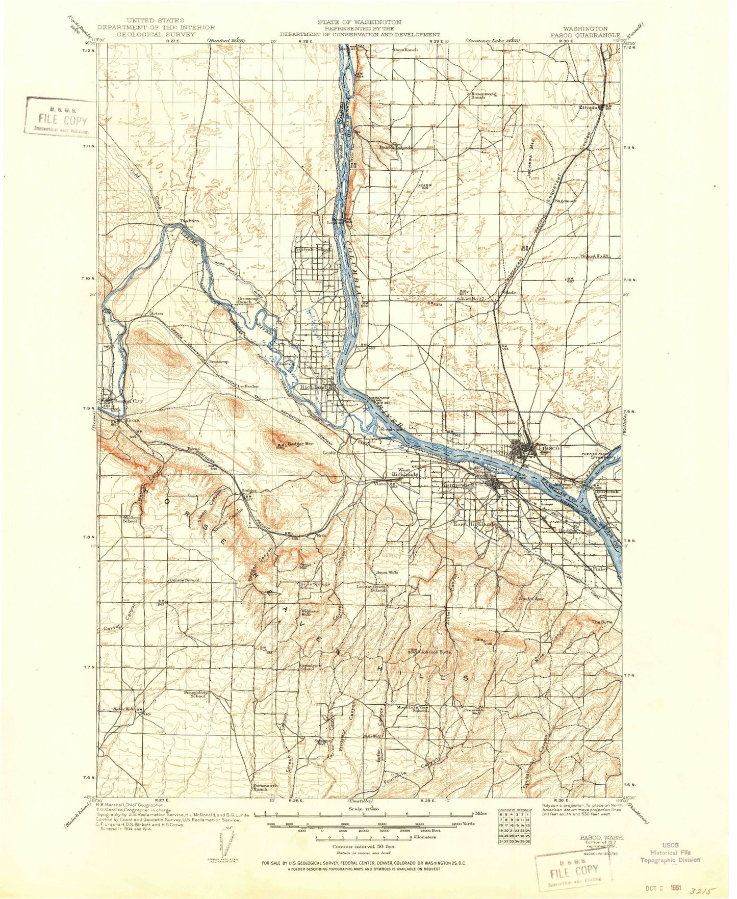
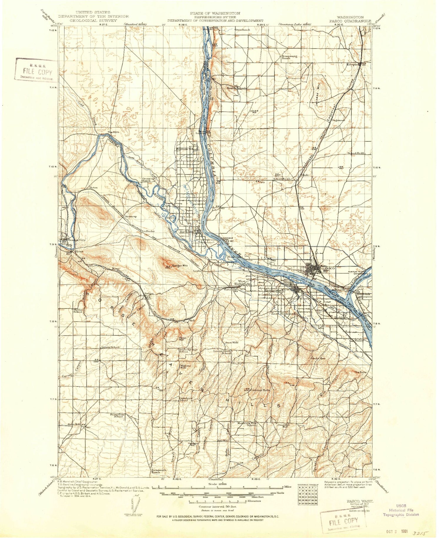
Historic 1917 Pasco Washington 30'x30' Topo Map
Couldn't load pickup availability
Historical USGS topographic map of Pascoin the states of Washington, Idaho, Oregon. Scale: 1:125000. Print size: 18" x 24"
This map was published in 1917 and is in the following counties: Benton, Franklin, Walla Walla.
The map contains contour lines, roads, rivers, towns, streams, and lakes. Printed on high-quality waterproof paper with UV fade-resistant inks.
Contains the following named places: A P Canal, A P Lateral, Amon Wasteway, Badger Canyon, Badger Mountain, Baxter Canyon, Benton City, Bofer Canyon, Candy Mountain, Clover Island, Cold Creek, Cold Creek Valley, Columbia Point, Esquatzel Diversion Channel, Finley, Fox Island, Franklin County Irrigation Canal, Goose Gap, Goose Hill, Hanford Road Barricade, Hedges, Highland Feeder Canal, Highlift Canal, Homestead Corners, Homestead Island, Hood Park, Horn Rapids, Horn Rapids Canal, Horn Rapids County Park, Horn Rapids Dam, Indian Island, Jackass Mountain, Johnson Butte, Johnson Island, Keewaydin Park, Kennewick Main Canal, Lost Lake, McWhorter Canal, Nelson Island, Nine Canyon, Parsons Canyon, Port of Pasco, Port of Pasco Industrial Park, Prior Ranch, Prospect Canyon, Rankin Canyon, Red Mountain, Ringold Wasteway, Sacajawea State Park, Sanders Field, Scouten Canyon, Sheep Canyon, Songbird Island, South Highlands, Sylvester Park, Taylor Flat, The Butte, The Island, Underwood Park, Westwood Park, Wooded Island, Wye Barricade, Zintel Canyon, East Pasco, Riverview, Lower Smith Canyon, West Badger Lateral, Badger, Geneva Junction, Glade, Mathews Corner, Richland Junction, Ruby, Sagemoor, Vista, Webber Canyon, Burbank, Burbank Heights, Eltopia, Island View, Kennewick, Kiona, The Horn, West Highlands, West Richland, Court Street Plaza, Columbia Shopping Center, Columbia Square, Jump Off Joe, East Badger Lateral, Amon Canyon, Bateman Island, Chiawana Park, Columbia Canal, Coyote Canyon, Division Four Canal, Edgar Brown Memorial Stadium, Eltopia Branch Canal, Esquatzel Coulee, Flat Top Hill, Fruitland Park, Leslie Groves Park, Horn Rapids Ditch, Martin Luther King Jr Community Center, Pasco, Pasco Pump Lateral Canal, Port of Kennewick, Richland, West Richland Municipal Golf Course, Tri-City Golf Course, Layton Park, Two Rivers Park, Richland Y, Paul Liddell Park, Columbia Point Marina Park, Howard Amon Park, James J Lawless Park, Chamna Natural Preserve, Riverview Natural Preserve, Jefferson Park, W E Johnson Park, Lawrence Scott Park, John Day Park, Hatfield Park, Griggs Shopping Center, Kennewick Plaza, Midtown Plaza, Tri-Cities Center, The Highlands Center, West Side Shopping Center, Westgate Shopping Center, Erie, Yakima River, Ainsworth Junction, Grosscup, Coffin Sheep Dam Number Three, Blair Reservoir Dam, Ben Blair Pond, Burlingame Dam, Coffin Sheep Dam, Pat Owens Dam, Meadow Springs Dam, Meadow Springs Reservoir, Columbia Park Dam, Riverview, Sham-na-pum Golf Course, Columbia Canal Number 1, Columbia Canal Number 2, Columbia Canal Number 3, Ledbeder Substation, Ringold Pumping Plant, Three Hundred North Radioactive Waste Dump, Wye Radioactive Waste Dump, Snake River, Pasco West, Wade Island, Highland, West Pasco, Pasco Division, Pasco North Division, Richland-Kennewick Division, South Benton Division, City of Benton City, City of Kennewick, City of Richland, City of Pasco, City of West Richland, Buckskin Golf Club, Columbia Park Golf Course, Canyon Lakes Golf Course, Columbia Point Golf Course, Horn Rapids Desert Style Golf Course, Snake River, Snake River


