MyTopo
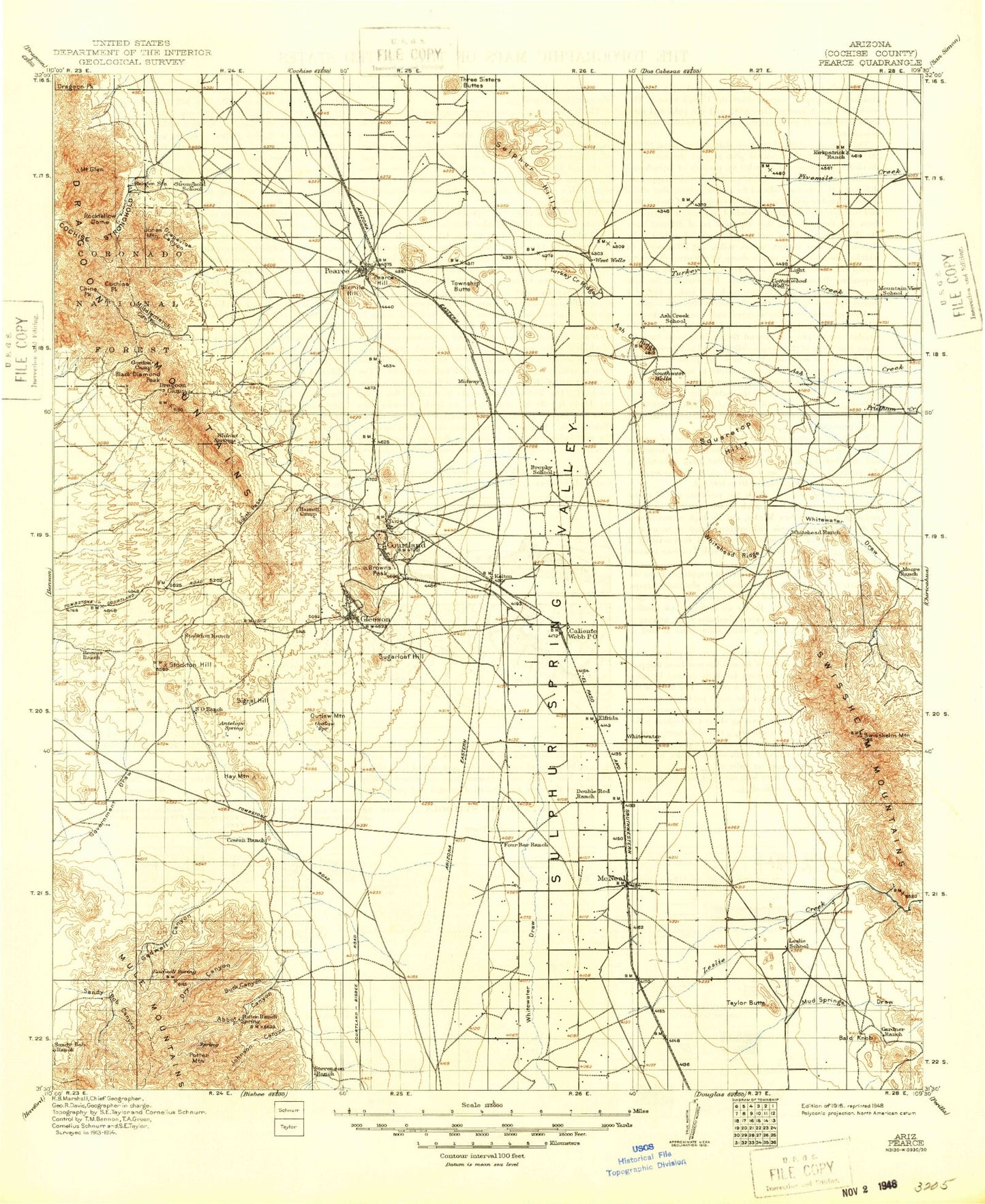
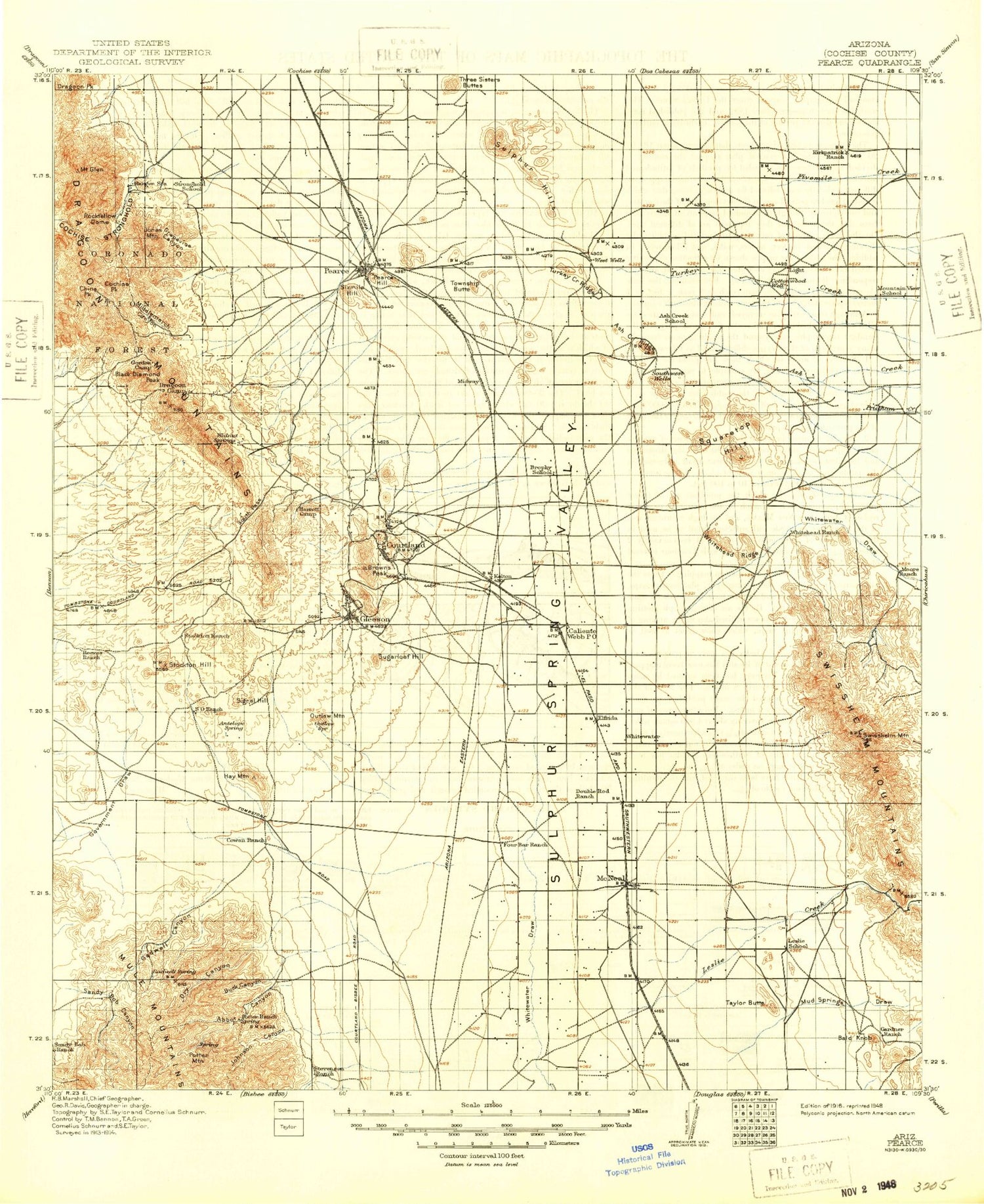
Historic 1916 Pearce Arizona 30'x30' Topo Map
Couldn't load pickup availability
Historical USGS topographic map of Pearce in the state of Arizona. Scale: 1:125000. Print size: 17" x 24"
This map was published in 1916 and is in the following counties: Cochise.
The map contains contour lines, roads, rivers, towns, streams, and lakes. Printed on high-quality waterproof paper with UV fade-resistant inks.
Contains the following named places: Abbot Canyon, Abbot Windmill, Abril Mine, Ash Creek, Ash Creek Ridge, Bald Knob, Barrett Camp, Bennett Ranch, Big Gadwell Windmill, Black Diamond Peak, Blacktail Windmill, Broke Tank, Browns Peak, Buck Canyon, Buck Creek Tank, Busenbark Ranch, China Peak, Christensen Ranch, Cobra Loma Mine, Cochise Peak, Cochise Stronghold, Commonwealth Mine, Coyote Windmill, Dead Mexican Canyon, Deep Well Windmill, Dixie Canyon, Dixie Canyon Ranch, Douglas Monitoring Station, Dragoon Camp, Dragoon Mountains, Dry Canyon, Dry Canyon Tank, Dye Windmill, E/H Windmill, Elfrida, Ernest Tank, Escapule Mine, Festerling Mine, Fivemile Creek, Fortyseven Ranch, Four Bars Ranch, Frog Lake, Fullbright Windmill, Gadwell Canyon, Gadwell Tank, Gap Tank, Garland Windmill, Gears Ranch, Gila Monster Canyon, Gleeson, Mount Glenn, Gold Camp, Gordon Camp, Gordon Tank, Grapevine Canyon, Grapevines Windmill, Guys Tank, H O Davis Ranch, Hackberry Windmill, Harmon Ranch, Hay Mountain, Herget Turquoise Mine, Homestead Tank, Homestead Windmill, Hood Windmill, Indian Canyon, Jog Tank, Johnson Canyon, Kendall Ranch, Leslie Canyon, Leslie Creek, Lewis Monument, Light, Little Gadwell Windmill, Little Windmill, Maud Hill, McClendon Tank, McNeal, McNeal Generating Plant, Mesquite Tank, Mesquite Windmill, Mexican Hat Mountain, Middlemarch Pass, Middlemarch Canyon, Moore Ranch, N I Windmill, New Tank, New Windmill, Noonan Canyon, OK Notch, Old Home Ranch, Old Robertson Ranch, Outlaw Mountain, Outlaw Windmill, Owl Hoot Windmill, Pearce, Pearce Hill, Potter Mountain, Pridham Creek, Rattlesnake Tank, Reeves Ranch, Reeves Tank, River Windmill, Road Tank, Rock Tank, Rockfellow Dome, Sack Tongue Tank, Sala Ranch, Sand Tank, Sandy Bob Canyon, Sandy Bob Springs Windmill, Sandy Bob Tank, Sandy Bob Windmill, Sheepshead, Side Hill Claim, Signal Hill, Sixmile Hill, Sorin Camp, South Pass, South Tank, South Windmill, Squaretop Hills, Standard Tungsten Mine, Stanford Creek, Stockton Draw, Stockton Hill, Stronghold Canyon East, Sugarloaf Hill, Sulphur Hills, Swisshelm Lodge, Swisshelm Mountain, Swisshelm Mountains, Taylor Butte, Telles Ranch, Thompson Tank, Three Sisters Buttes, Toms Tank, Township Butte, Turkey Creek Ridge, Turquoise Mountain, Whitehead Ranch, Whitehead Ridge, Black Diamond Tank, Tomcat Tank, Blacktail Hill, Brushy Tank, Cochise Stronghold Campground, Dragoon Camp Tank, Forest Tank, Gleeson Substation, Halfmoon Tank, Henry Canyon, Johns Well, Jones Mountain, Kendall Substation, Mary A Canyon, Black Diamond, Courtland, Grizzles Orchard, Arizona Sun Sites, Sunizona, Cochise County, Sunsites Golf Course, Cochise Eastern Regional Landfill, Shadow Mountain Country Club


