MyTopo
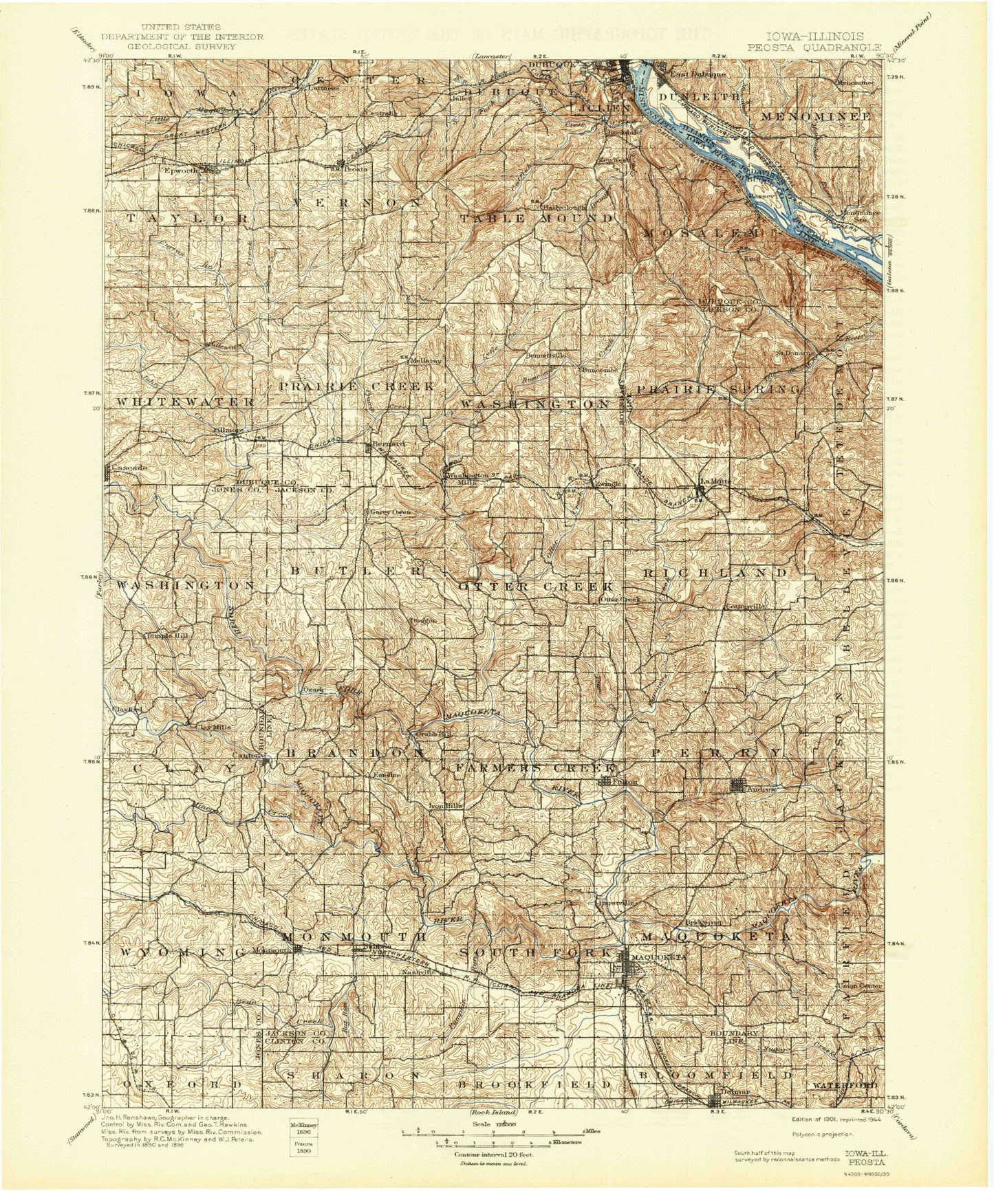
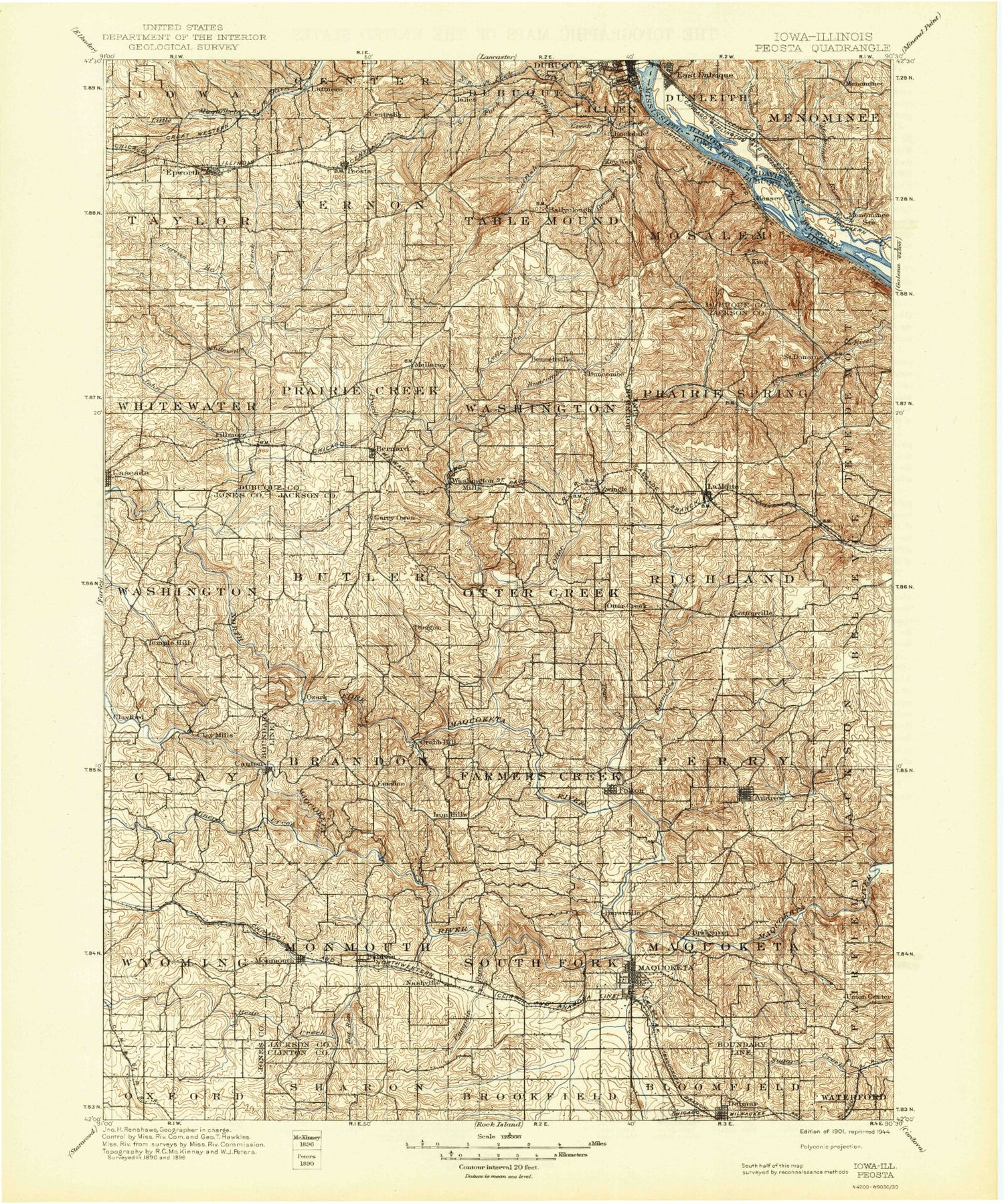
Historic 1901 Peosta Iowa 30'x30' Topo Map
Couldn't load pickup availability
Historical USGS topographic map of Peosta in the state of Iowa. Scale: 1:125000. Print size: 17" x 24"
This map was published in 1901 and is in the following counties: Clinton, Dubuque, Jackson, Jo Daviess, Jones.
The map contains contour lines, roads, rivers, towns, streams, and lakes. Printed on high-quality waterproof paper with UV fade-resistant inks.
Contains the following named places: Andrew, Baldwin, Ballyclough, Bear Creek, Beers Creek, Benedict Hollow, Bernard, Black Hawk Creek, Bridgeport, Brush Creek, Buck Creek, Buncombe Creek, Caledonia Park, Camp Little Cloud, Canton, Catfish Creek, Cedar Creek, Center Grove, Centralia, Chalmers Field, Cline Branch, Cottonville, Curran Branch, Dark Hollow, Delmar, Dubugue Harbor, Eagle Rock, Eden Valley County Refuge, Elwood Creek, Emeline, Epworth, Farm Creek, Farmers Creek, Fillmore, Fillmore Recreation Area, Fulton, Goose Rock, Graf, Louis Murphy Park, Granger Creek, Hainer Creek, Hogans Branch, Horseshoe Bluff, Hurstville, Hurstville Branch, Ironhills, Jess Branch, Johns Creek, Key West, King, La Motte, Leisure Lake, Lost Creek, Lux Creek, Lytle Creek, Mahoneys Bend, Maquoketa, Maquoketa Caves State Park, Massey, Middle Fork Catfish Creek, Mineral Creek, Monmouth, Nashville, Ninemile Island, North Fork Catfish Creek, North Fork Maquoketa River, North Spring Branch, Otter Creek, Oxbow, Peosta, Pine Creek, Poker Rock, Prairie Creek, Prairie Creek, Pumpkin Creek, Raccoon Creek, Rafferty Field, Rat Run, Rockdale, Saint Donatus, Sawyers Rock, Shawondasse, Silver Creek, South Fork Catfish Creek, South Garry Owen, South Spring Branch, Spring Branch, Squirrel Island, Swiss Valley, Tarecoat Creek, Union Creek, Waller School, Washington Park, Whitewater Canyon, Whitewater Creek, Zwingle, Schwenker Lake Dam, Lake Eleanor Dam, Kennedy Mall, Mines of Spain State Park, E B Lyons Prairie-Woodlawn Preserve, Ice Harbor Emporium, Mines of Spain, Cathedral Square, Kidder, South Switch Junction, Millrock, Big Mill Creek Public Hunting Area, Buckhorn, Cattese, Clay Mills, Crab Town, Garry Owen, Julien, Lattnerville, McGargels Ford, Otter Creek, Ozark, Pleasant Grove, Riggs, Temple Hill, Washington Mills, Wilkins, Dubuque County, Jackson County, Bluff Side Park, Kellys Bluff, East Iron Hills, West Iron Hills, Julien Dubuque Monument, East Canton, Burgess, Dubuque Country Club, Union Centre, Farmers Creek, Hickory Grove, Duke, Buncombe, Saint Joseph, Township of Brandon, Township of Butler, Township of Clay, Township of Farmers Creek, Township of Maquoketa, Township of Monmouth, Township of Mosalem, Township of Otter Creek, Township of Perry, Township of Prairie Creek, Township of Prairie Springs, Township of Richland, Township of South Fork, Township of Table Mound, Township of Taylor, Township of Vernon, Township of Washington, Township of Washington, Township of Whitewater, Township of Wyoming, Maquoketa Caves Natural Bridge, Union Centre County Park, Horseshoe Pond County Park, Maquoketa Country Club, Lakehurst Dam, Mill Rock School County Park, Joinerville County Park, Canton County Park, Dubuque Hills, Lost Nation Public Hunting Area, Brookfield Wildlife Refuge, Buzzard Ridge Wildlife Area, Ozark Wildlife Area, Black Hawk Wildlife Area, Timber City Golf Course, Jackson County Fairgrounds, First Ward Park, Little Bear Park, Fifth Ward Park, Bi-Centennial Park, City Ball Park, Crawford Park, Third Ward Park, Meadowbrook II Playground, Way of the Cross, William Potter Historical Marker, Lawrence Van Hook Historical Marker, Zwingle Athletic Field, Massey Marina Park, Heritage Trail, Floodwall Trail - South Section, Origin of Old Military Road Historical Marker, Dubuque's Old Shot Tower Historical Marker, Cog Railway Elevator Historical Marker, Town Clock - 108 Feet High Historical Marker, Massey Marina Campgrounds, Fenelon Place Elevator, Town Clock Plaza, Warren Plaza, FDR Park, Dubuque Harbor, Husemanns RV Park and Campgrounds, Dubuque County Fairgrounds, Chlapaty Sports Complex, Steffens Colonnade, William C Laube Memorial Bell Tower, Ace Mobile Home Park, Lost Canyon Mobile Home Park, Twin T Mobile Home Park, Table Mound Mobile Home Park, Timberline Golf Course, Thunderhills Golf and Country Club, Peosta, Swiss Valley Nature Center, Swiss Valley Park, Centennial Park, Epworth, Julian, Rockdale, Fillmore Fairways Golf Course, City of Centralia, City of Andrew, City of Baldwin, City of Bernard, City of Epworth, City of Graf, City of Monmouth, City of La Motte, City of Maquoketa, City of Peosta, City of Saint Donatus, City of Zwingle, Theisen Creek, Iron Hill Quarry, Ambrosy Dairy Farms, Catfish Creek State Preserve, Molo Slough


