MyTopo
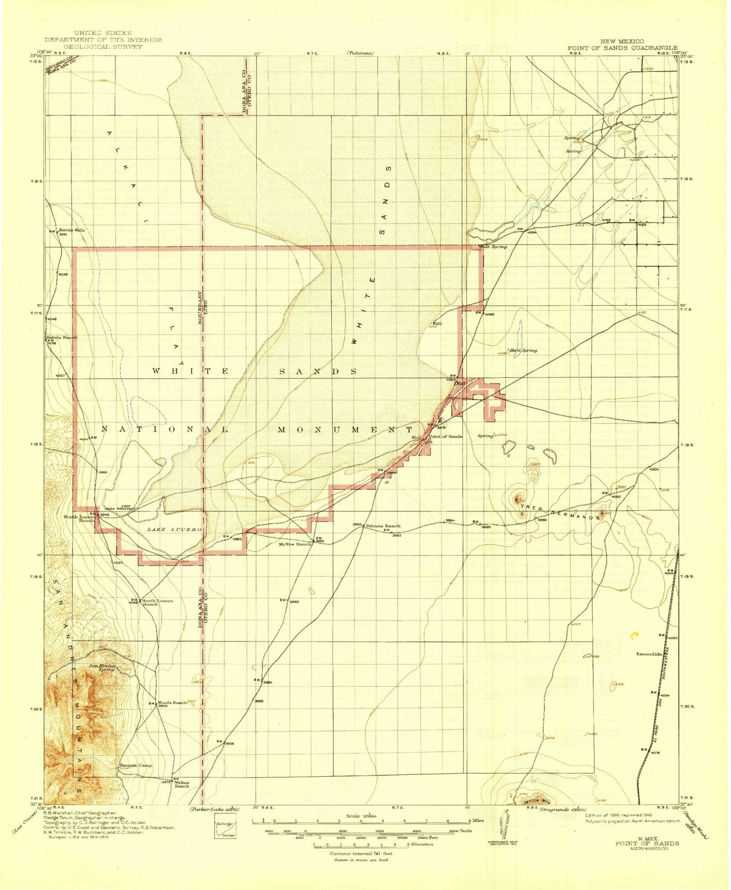
Historic 1916 Point of Sands New Mexico 30'x30' Topo Map
Couldn't load pickup availability
Historical USGS topographic map of Point of Sandsin the states of New Mexico, Texas. Scale: 1:125000. Print size: 18" x 24"
This map was published in 1916 and is in the following counties: Dona Ana, Otero, Sierra.
The map contains contour lines, roads, rivers, towns, streams, and lakes. Printed on high-quality waterproof paper with UV fade-resistant inks.
Contains the following named places: Hay Draw, Antelope Tank, Bear Canyon, Burch Tank, Dagger Tank, Dousette Tank, Dry Lake, Escondida Siding, Foster Lake, Kennedy Tank, Lone Butte, Lucero Ranch, Lake Lucero, Mogee Tank, Moody Tank, North Tank, North Tank, Olden Ranch, Sheep Camp Draw, Tompson Reservoir, Thompson Reservoir, Tres Hermanos, White Sands Gate, White Sands Ranch, Goat Mountain, Bennett Mountain, Malone Draw, Dillard Draw, La Luz Creek, White Sands, Black Mountain, Point of Sands, Andrecito Creek, La Luz Creek, Ash Canyon, Daugherty Tank, Garton Lake, Carter Draw, Flat Tank, Desert Tank, Squaw Tank, Lost River, Red Arroyo, Ritas Draw, White Sands National Park, Arrington Tank, Missle Pits, Garton Water Well, White Sands Gypsum, Little San Nicolas Canyon, Paxton Siding, Poorman Range, Tularosa Valley, Twin Buttes, Holloman Lake Dam, Holloman Lake, Heart of the Sands, Ratscat, Alkali Flat, White Sands Weather Station, Tularosa Valley Historical Marker, Alamogordo Division, San Andres Canyon, Tularosa Valley


