MyTopo
Historic 1922 Preston Peak California 30'x30' Topo Map
Couldn't load pickup availability
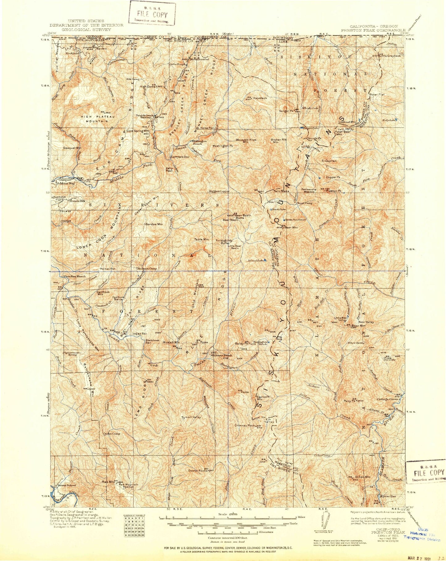
Historical USGS topographic map of Preston Peak in the state of California. Scale: 1:125000. Print size: 17" x 24"
This map was published in 1922 and is in the following counties: Curry, Del Norte, Josephine, Siskiyou.
The map contains contour lines, roads, rivers, towns, streams, and lakes. Printed on high-quality waterproof paper with UV fade-resistant inks.
Contains the following named places: Baker Flat, Boulder Creek, Buck Creek, Buck Mountain, Cedar Creek, Cedar Trough Camp Ground, China Mine, Dead Horse Gulch, Deer Creek, Doctor Rock, Dollar Bend, East Fork Blue Creek, East Fork Patrick Creek, Eightmile Creek, Elevenmile Creek, Elkhorn Bar, Fox Ridge, Griffin Creek, Harrington Creek, High Dome, Holiday Mine, Horse Creek, Lems Ridge, Lems Ridge Trail, Marlow Camp, Monkey Creek, Monkey Creek Ridge, Monumental, Mud Lake, Muslatt Mountain, Muzzleloader Creek, Packsaddle Creek, Quartz Creek, Sawtooth Mountain, Shelly Creek, Shelly Creek Campground, Shelly Creek Ridge, Ship Mountain, Ship Mountain Trail, Siskiyou Fork, Blue Ridge, Summit Valley, Summit Valley Trail, Swillup Creek, Tenmile Creek, Twelvemile Creek, Upper Smith River Trail, Washington Flat, Washington Peak, West Fork Patrick Creek, Williams Creek, Jedediah Mountain, Elk Lick Ridge, Five-and-Ten Divide, The Lieutenants, Little Preston, Bear Paw, Bear Cub, Siskiyou Pass, Rocky Knob, Wilderness Falls, Cedar Crest, Idlewild Creek, Stephens Creek, Muslatt Lake, Solitaire Lake, Lost Spoon Lake, Flatiron Lake, Peak Eight, Blackhawk Bar, Blackhawk Creek, Number One, North Fork Diamond Creek, Six Rivers National Forest, Alma Ranch, Aubrey Creek, Baldy Peak, Cedar Basin, Bear Basin, Bear Basin Butte, Bear Creek, Bear Lake, Bear Mountain, Bear Peak, Bear Pen Creek, Bear Valley, Bear Valley Creek, Bear Wallow, Bear Wallows, Bell Echo Camp, Big Boy Mine, Big Buck Ridge, Big Flat, Big Flat Forest Service Station, Black Butte, Black Creek, Blue Nose Bluff, Blue Nose Mine, Boulder Creek, Boulder Peak, Boulder Ridge, Boundary Trail, Broken Kettle Creek, Broken Rib Mountain, Browns Mine, Brushy Creek, Buck Camp Ridge, Buck Lake, Burns Creek, Bybee Gulch, Cache Camp, Camp Chicago, Camp Six Lookout Tower, Canthook Creek, Canthook Mountain, Canthook Prairie, Carter Creek, Cedar Camp, Cedar Creek, Cedar Forest Camp Ground, Chicago Creek, Chicago Peak, Chimney Rock, Chrome Mine, Cleopatra Mine, Coffee Can Creek, Cold Spring Mountain, Copper Creek, Copper Creek, Copper Mountain, Craigs Creek Mountain, Craker Meadows, Crazy Peak, Cyclone Gap, Danger Point, Dark Canyon, Devils Gap, Devils Punchbowl, Diamond Creek, Dillon Camp, Dillon Creek, Dillon Divide, Dillon Mountain, Dobbins Creek, Doe Creek, Doe Flat, Dry Lake, Dry Lake, Dunn Creek, Eighteenmile Creek, El Capitan, Elk Camp, Elk Camp Ridge, Elk Hole, Elk Lake, Elk Valley, Elliott Creek, Eyese Bar, Fall Creek, Fivemile Creek, Flint Valley, French Flat, French Gulch, French Placer Canal, Gasquet Mountain, Goose Creek, Gordon Creek, Gordon Mountain, Grassy Flat Campground, Gum Boot Creek, Guys Ranch, Haines Flat, Hardscrabble, Harrington Lake, Harrington Mountain, Haystack, High Plateau Creek, High Plateau Mountain, Horse Flat, Humboldt Flat, Hurdygurdy Butte, Hurdygurdy Creek, Indian Bar, Island Lake, Jackass Creek, Little Jones Creek, Jones Creek, Kelly Lake, Kelly Creek, Kelly Peak, Kelsey Range, Kennedy Creek, Kennedy Homestead, Knopti Creek, Laurel Butte, Lick Creek, Little Bear Basin, Little Bear Valley, Little Bear Valley Creek, Little Buck Ridge, Little Grayback, Little Rattlesnake Mountain, Little Sanger Peak, Lone Pine Bar, Lookout Mountain, Louse Creek, Lower Bear Lake, Maple Creek, McGarvey Creek, Medicine Creek, Little Medicine Mountain, Melson Ranch, Mill Creek, Morrell Placer Mine, Mud Creek, No Mans Creek, North Fork Dillon Creek, North Fork Dunn Creek, North Fork Smith River, Packers Creek, Paradise Trail, Patrick Creek, Peridotite Canyon, Persido Bar, Pigeon Roost, Pine Flat Mountain, Poker Creek, Poker Flat, Polar Bear Mountain, Pony Peak, Porters Camp, Prescott Cabin, Prescott Mountain, Preston Creek, Preston Peak, Raspberry Lake