MyTopo
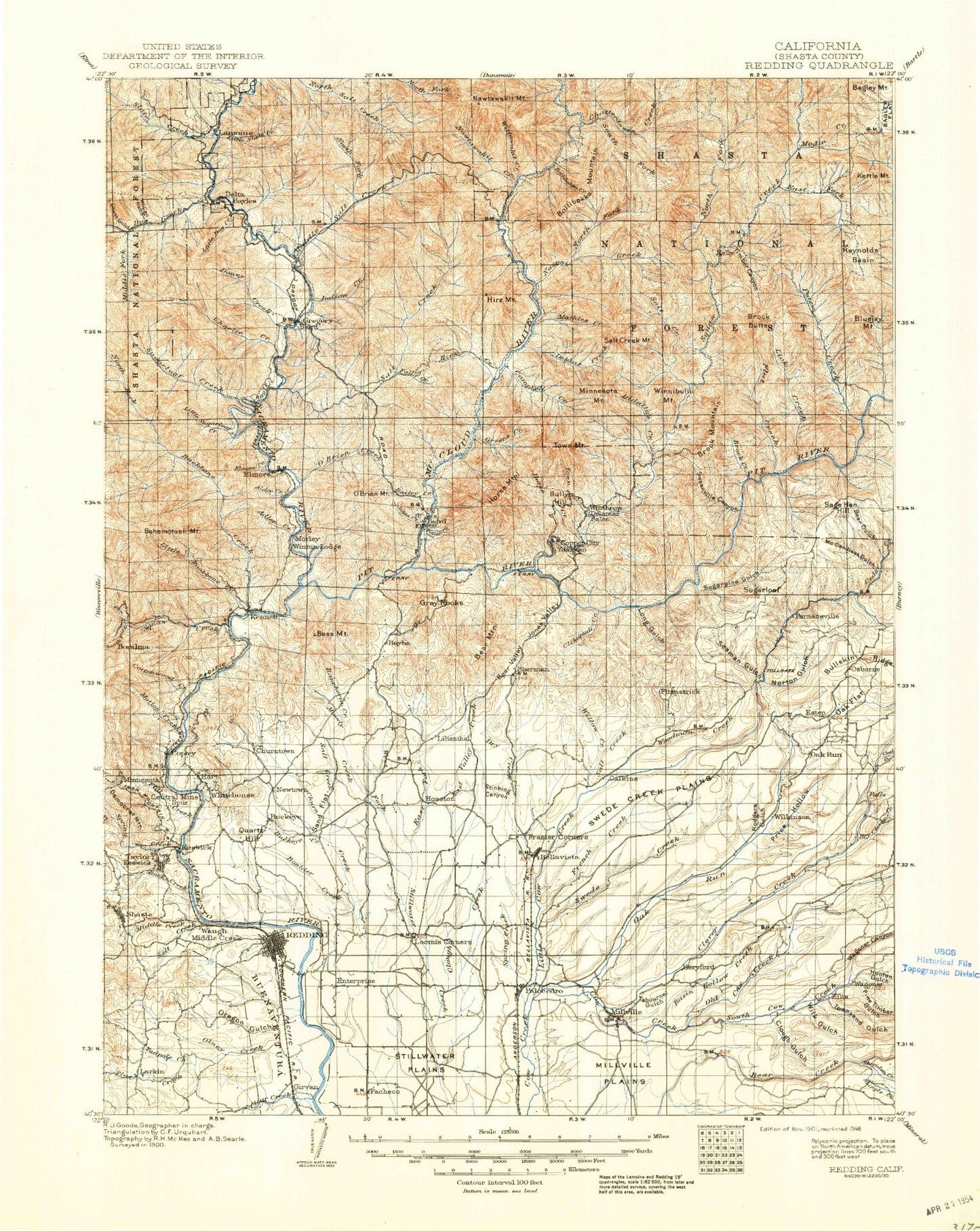
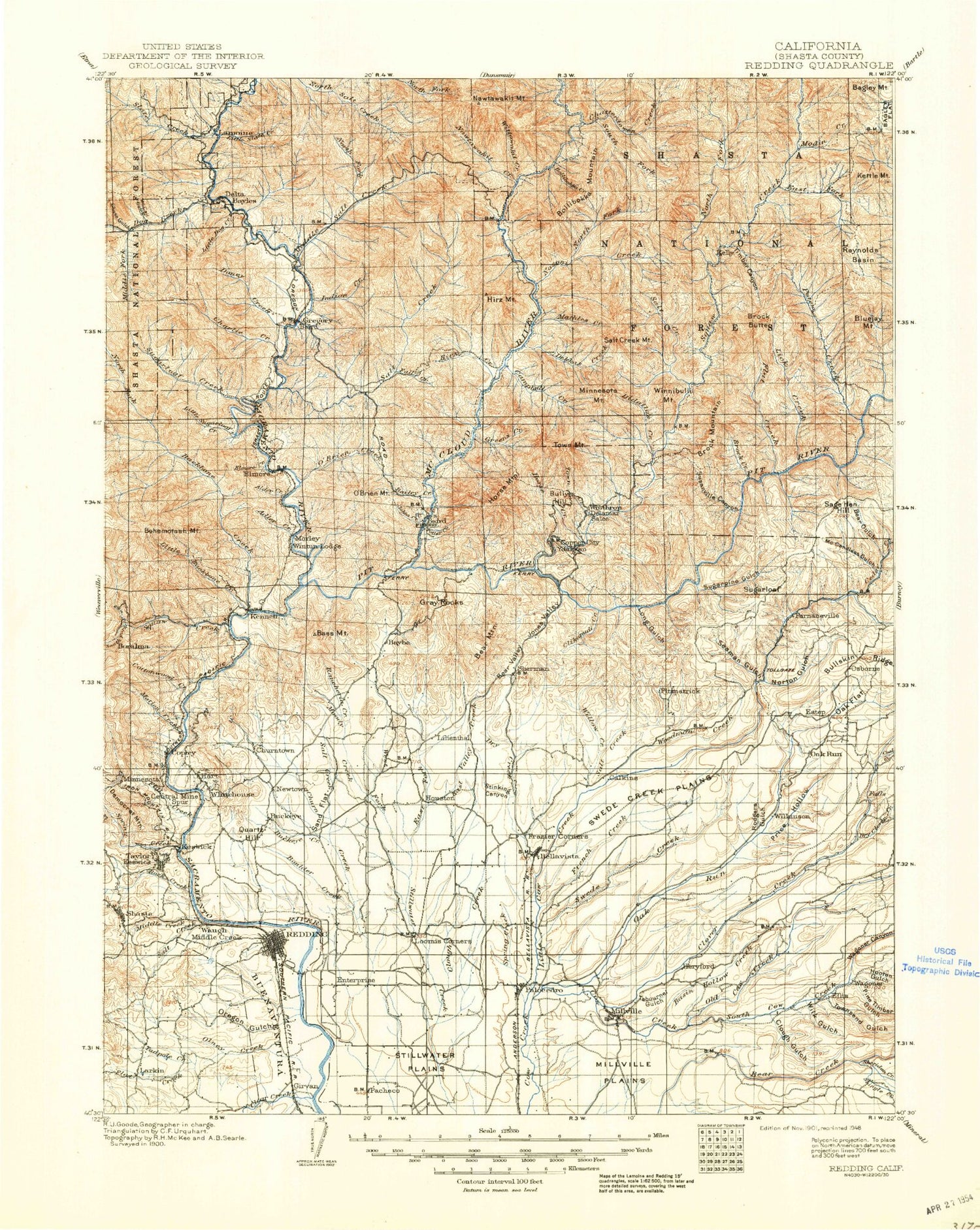
Historic 1901 Redding California 30'x30' Topo Map
Couldn't load pickup availability
Historical USGS topographic map of Redding in the state of California. Scale: 1:125000. Print size: 17" x 24"
This map was published in 1901 and is in the following counties: Shasta.
The map contains contour lines, roads, rivers, towns, streams, and lakes. Printed on high-quality waterproof paper with UV fade-resistant inks.
Contains the following named places: Ash Creek, Balaklaia Mine, Basin Hollow Creek, Bear Creek Canyon, Beartrap Creek, Benson Mine, Bills Creek, Bluejay Mountain, Boulder Creek, Brock Butte, Canyon Hollow, Chamise Peak, Churn Creek Bottom, Clough Gulch, Cornish Creek, Cottonwood Creek, Cow Creek Forebay, Crooks Creek, Democrat Mountain, Wintu Bay, Wintu Creek, Dry Creek, Dry Fork, East Fork Mountain, East Fork Squaw Creek, Ellis School, Falks Lake, Flat Creek, Flat Creek, Frost Gulch, Garden Creek, Goose Gap, Government Camp, Hoffmeister Creek, Hooten Gulch, Jackass Creek, Jenny Creek, Keswick Dam, Kettle Mountain, Kutras Park, Lake Redding Park, Little Churn Creek, Loomis Corners, Madrone Guard Station, Middle Creek, Millville, Millville Plains, Moccasin Creek, Modin Creek, Motion Creek, Nelson Creek, North Fork North Salt Creek, Oat Creek, Olney Creek, Oregon Gulch, Palo Cedro, Pine Timber Gulch, Lake Redding, Reese Reservoir, Reynolds Basin, Rich Gulch, Riley Gulch, Rock Creek, Rosebriar Creek, Salt Creek, Seventeen Hill, Shake Creek, Shasta, Shasta Dam, Shasta State Historic Park, Sheridan Creek, Shingle Creek, Smith Creek, Backbone Ridge, Butcher Creek, North Fork Squaw Creek, Potter Creek, Salt Creek Picnic Area, Shoemaker Gulch, South Fork Motion Creek, South Fork Spring Creek, South Fork Squaw Creek, Spreadeagle Mine, Spring Creek, Squaw Creek, Stillwater Plains, Sugarloaf, Tadpole Creek, Townsend Gulch, Tule Lake, Uncle Sam Mine, Vista House, Wagoner Canyon, Walker Mine, Wheeler Ranch, Whitlow Creek, Wilk Gulch, Winston Gulch, Yankee John Mine, San Buena Ventura, Silverthorn Bay, Motion, Shasta Lake, Albert Creek, Antlers Campground, Arbuckle Flat, Backbone Ridge, Bacon Creek, Bagley Flat, Bagley Mountain, Barber Gulch, Bars Creek, Bass Mountain, Bastard Canyon, Bear Canyon, Bear Gulch, Bear Mountain, Bear Valley, Bella Vista, Big Bollibokka Creek, Billibokka Mountain, Blue Canyon, Blue Ridge, Bollibokka Club, Bontabile Creek, Brock Creek, Browns Canyon, Buck Point, Buckeye Creek, Bucks Peak, Campbell Creek, Cavanaugh Canyon, Cedar Creek, Chase Gulch, Chatterdown Creek, Clarks Gulch, Clear Creek, Clikapudi Creek, Clough Creek, Clover Creek, Coal Creek, Coal Pit Gulch, Constant Flow Gulch, Coronado Mine, Cove Creek, Cow Canyon, Curl Ridge, Dam Gulch, Dark Canyon, Deep Hole Creek, Delta, Delta Point, Devils Rock, Diddy Wells Forest Fire Station, Doe Gulch, Dog Creek, Doney Creek, Dooles Creek, Dry Clover Creek, Dry Creek, Dry Creek, East Dry Creek, East Fork North Fork Squaw Creek, East Fork Chatterdown Creek, East Fork Stillwater Creek, East Valley Creek, Elks Lake, Ellery Creek, Estep, Eye Creek, Fannie Creek, Fenders Flat, Fish Mountain, Flat Creek, French Gulch, Gibson Creek, Gray Rocks, Gray Rocks, Green Mountain, Gregory Creek, Gregory Creek Campground, Hanland Peak, High Mountain, Hirz Mountain, Horse Ridge, Indian Creek, Ingot, Jim Creek, Johnny Sisk Creek, Jones Valley, Jones Valley Campground, Kabyai Creek, Lamoine, Lick Gulch, Little Bollibokka Creek, Little Cow Creek, Little Dog Creek, Little Kabyai Creek, Little Round Mountain, Little Slate Creek, Little South Fork Dog Creek, Little Valley, Long Tom Creek, Low Pass Creek, Mathles Creek, Matquaw Flat, McCall Gulch, McCandless Gulch, McCardle Gulch, McCloud Bridge Guard Station, Middle Salt Creek, Mirror Lake, Moody Creek, Moore Creek, Mosquito Creek, Mountain Gate, Nawtawaket Creek, Nawtawaket Mountain, Newtown Creek, North Fork Chatterdown Creek, North Fork Nosoni Creek, North Fork Salt Creek, North Fork Slate Creek, North Fork Squaw Creek, North Salt Creek, Norton Gulch, Nosoni Creek, Nosoni Mountain, Oak Flat, Oak Run Creek, Old Cow Creek, Painter Creek, Point McCloud, Pollard Gulch, Post Gulch, Potem Creek


