MyTopo
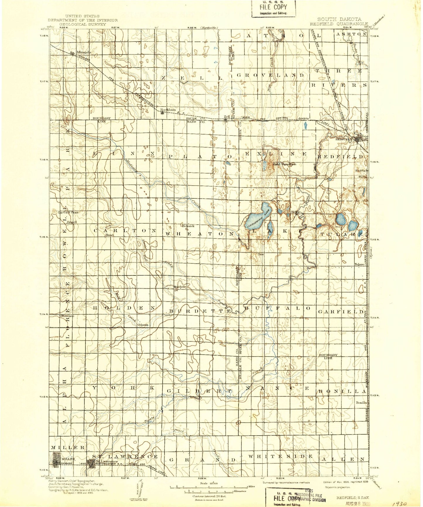
Historic 1899 Redfield South Dakota 30'x30' Topo Map
Couldn't load pickup availability
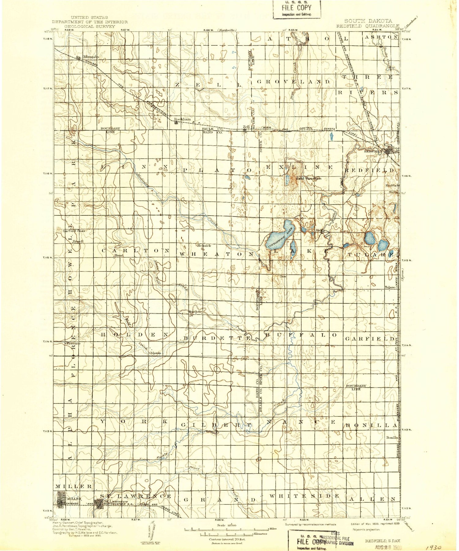
Historical USGS topographic map of Redfield in the state of South Dakota. Scale: 1:125000. Print size: 17" x 24"
This map was published in 1899 and is in the following counties: Beadle, Faulk, Hand, Spink.
The map contains contour lines, roads, rivers, towns, streams, and lakes. Printed on high-quality waterproof paper with UV fade-resistant inks.
Contains the following named places: Little Turtle Creek, Bald Mountain, Bryant Creek, Campbell Creek, Central Speedway, Cottonwood Lake, Dove Creek, East Pearl Creek, Fox Lake, Gooder Creek, Little Wolf Creek, Lost Creek, Medicine Creek, Miller, Miranda, Mud Lake, Mud Lake, North Wolf Creek, Lake Redfield, Ree Creek, Rockham, Shaefer Creek, Tulare, Twin Lakes, West Pearl Creek, Wolf Creek, Zell, Zell Lake, Zell Lake Dam, Redfield Lake Dam, Redfield Hills, Burdette, Spottswood, Abigail Gardner Rescue Site, Saint Lawrence, Garfield Peak, Redfield, City of Miller, City of Redfield, Town of Rockham, Town of Saint Lawrence, Town of Tulare, Township of Garfield, Township of Buffalo, Township of Tulare, Township of Redfield, Township of Lake, Township of Exline, Township of Three Rivers, Township of Groveland, Township of Pleasant Ridge, Township of Mountain, Township of Allen, Township of Whiteside, Township of Bonilla, Township of Nance, Township of Zell, Township of Hillsdale, Township of Hope, Township of Grand, Township of Saint Lawrence, Township of Gilbert, Township of York, Township of Burdette, Township of Holden, Township of Wheaton, Township of Plato, Township of Carlton, Township of Linn, Township of Howell, Pheasant City Drive-In, Midway Drive-In


