MyTopo
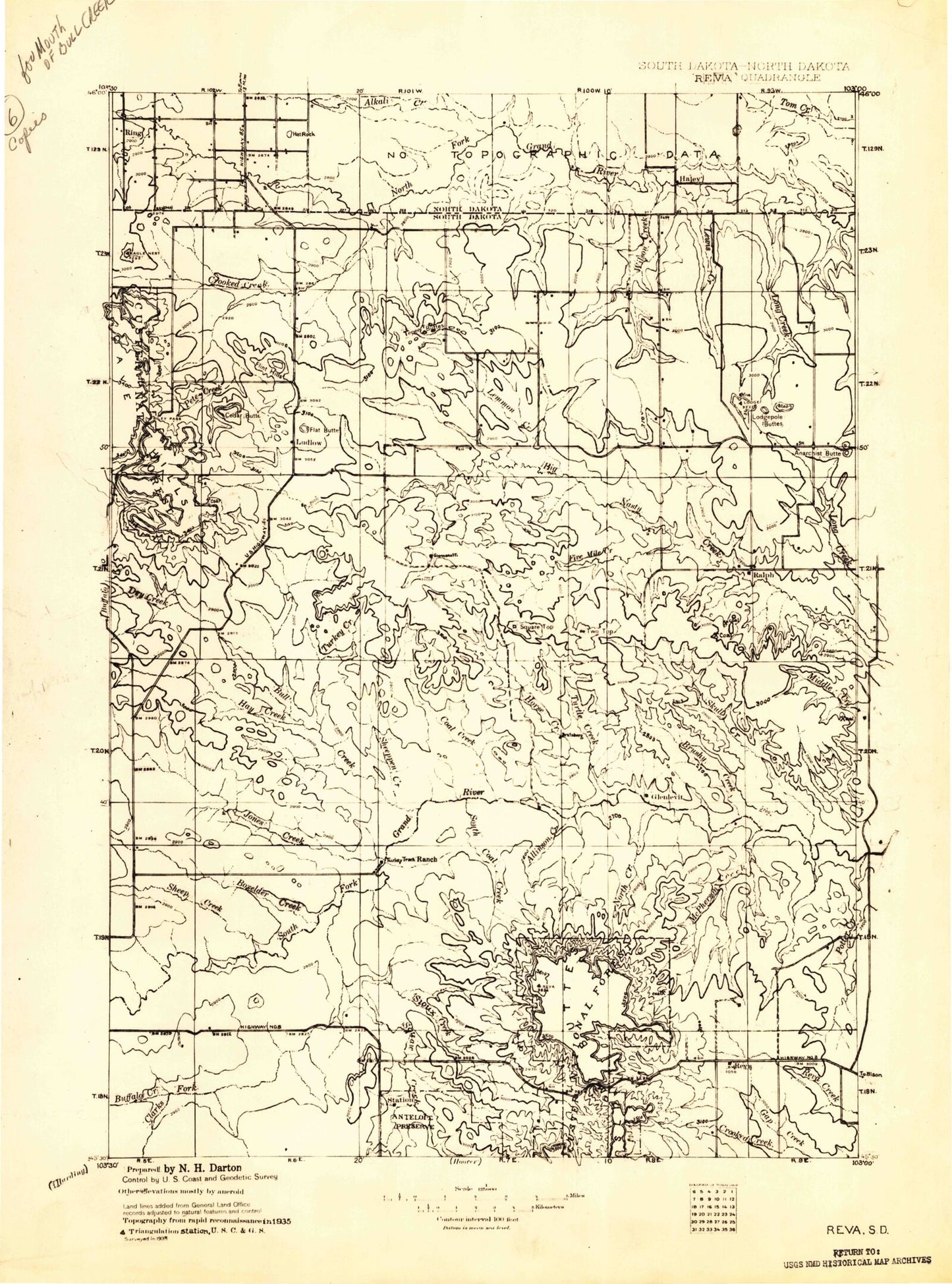
Historic 1935 Reva South Dakota 30'x30' Topo Map
Couldn't load pickup availability
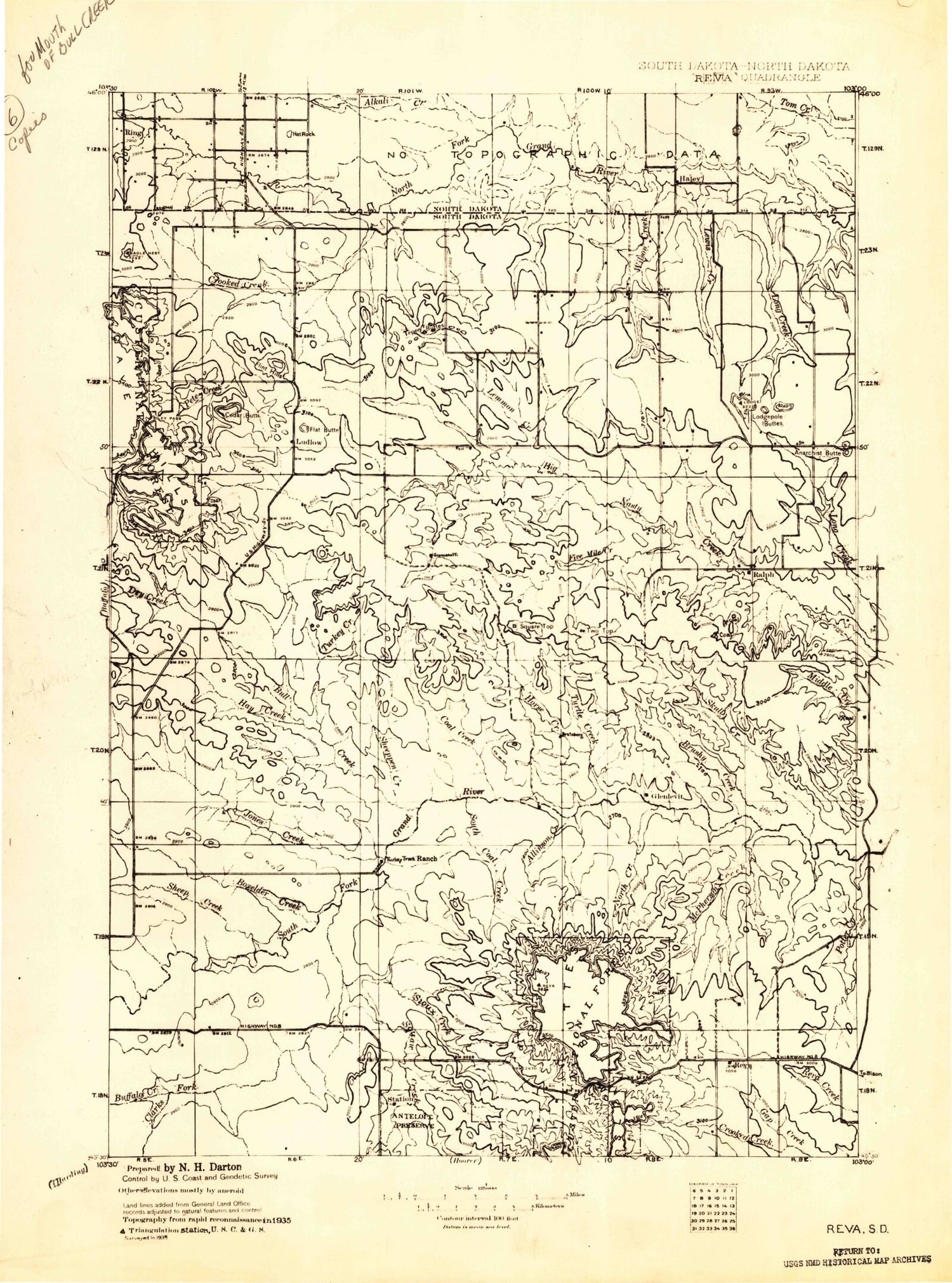
Historical USGS topographic map of Revain the states of South Dakota, North Dakota. Scale: 1:125000. Print size: 16" x 24"
This map was published in 1935 and is in the following counties: Bowman, Harding.
The map contains contour lines, roads, rivers, towns, streams, and lakes. Printed on high-quality waterproof paper with UV fade-resistant inks.
Contains the following named places: Crooked Creek, Lone Tree Creek, Wilson Creek, Allison Creek, Ash Tree Reservoir, Ashcroft Butte, Atterbury Creek, Bar H Creek, Battleship Rock, Beermug Lake, Big Two Top Butte, Bobcat Canyon, Bowman-Haley Reservoir, Boxelder Creek, Brush Creek, Buffalo Creek, Bull Creek, Campbell Creek, Castle Creek, Cliff Pond, Coal Bank Creek, Coal Creek, Cobblestone Reservoir, Corey Butte, Davis Draw, Davis Draw Reservoir, Doc Hodge Draw, Dry Creek, Eagles Nest Butte, Meathook Creek, Eggland Creek, Fisher Creek, Flag Rock, Flint Butte, Flint Hills, Fuller Pass, Government Hill, Hay Creek, Haystack Butte, Helms Ranch, High and Dry Reservoir, Horse Creek, Ivers Mine, Jack Creek, Jones Creek, Lems Creek, Lermeny Ranch, Lewis Creek, Little Two Top Butte, Lodge Pole Buttes, Ludlow, McPherson Creek, Middle Jack Creek, Mitchell Draw, Moonshine Lake, Mud Butte, North Cave Hills, North Creek, North Jack Creek, Olson Ranch, Petes Creek, Picnic Spring Campground, Prairie Dog Creek, Ralph Dam, Red Cross Draw, Reva, Reva Campground, Reva Gap, Riley Pass, Rileys Butte, Saddle Point, Sand Creek, Scarsland Lake, Schleichart Draw Reservoir, Sheep Creek, Sheep Pen Draw, Sioux Creek, Skull Creek, Smith Dam, South Jack Creek, Slim Buttes Creek, State Experiment Farm and Antelope Reserve, Teeter Creek, Tepee Buttes, Tepee Canyon Creek, The Castles, Turtle Creek, Vessey Lake, Wagner Ranch, Double X Creek, Window Rock, Winter Draw, G Lermeny Ranch, E Besler Ranch, M Thybo Ranch, R Ham Ranch, N Ketchum Ranch, H Feist Ranch, M Feist Ranch, Drolc Number 1 Dam, Nygaard Duckpond Dam, Teepee Dam, Nygaard Trout Dam, Nygaard Leaky Dam, Hafner Ducklake Dam, Salt Lake Dam, Barn Dam, Parks Duck Dam, Washout Dam, Largis Dam, Ludlow Dam, Skull Creek Dam, Turtle Creek Dam, Egland Dam, Prairie Dog Creek Dam, Jacobi Dam, Smith Spreader Dam, Vessey Dam, Duck Dam, Road Dam, Mink Dam, Tufte Dam, Park Pond Dam, North Dam, Park Pond Reservoir, Clarks Fork Creek, Ralph, Slim Butte Monument, Harding County, Township of Filmore, Township of Lincoln, Township of Cameron, Township of Vessey, Township of Lanesboro, Township of Calmar, Township of Cox, Township of Cave Hills, Bowman-Haley Lake, Alkali Creek, Bowman-Haley Dam, Crooked Creek, Haley, Lone Tree Creek, Wilson Creek, Township of Ladd, Township of Minnehaha, Township of Haley, Lewis Creek, Teeter Creek, Township of Goldfield


