MyTopo
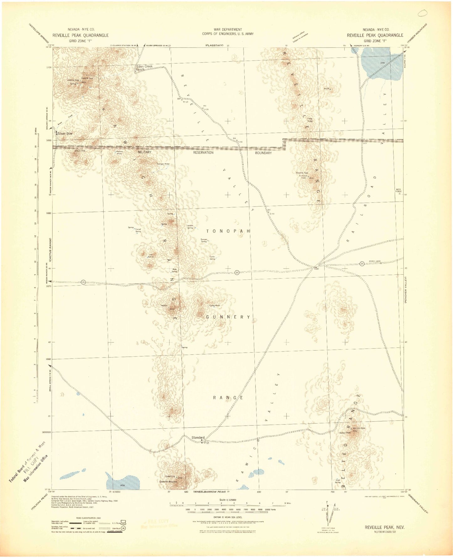
Historic 1942 Reveille Peak Nevada 30'x30' Topo Map
Couldn't load pickup availability
Historical USGS topographic map of Reveille Peak in the state of Nevada. Scale: 1:125000. Print size: 18" x 24"
This map was published in 1942 and is in the following counties: Nye.
The map contains contour lines, roads, rivers, towns, streams, and lakes. Printed on high-quality waterproof paper with UV fade-resistant inks.
Contains the following named places: Antelope Reservoir, Belted Peak, Breen Ranch, Cathedral Ridge, Cedar Pass, Cedar Pipeline Ranch, Fang Ridge, Gold Reed Pass, Jackpot Reservoir, Juniper Pass, Lambs Pond, Lava Ridge, Monotony Valley, Nixon Peak, Oswald Mine, Quartzite Mountain, Ragged Ridge, Rhyolite Knob, Trailer Pass, White Ridge, White Saddle Pass, Wild Horse Draw, Wild Horse Ranch, Reveille Peak, Eden Creek Ranch, Eden Creek, Mount Clayton, Catlin Mine, Hillside Mine, Silver Glance Mine, Blue Horse Mine, Nevada Triumph Mine, Silverbow Mining District, Gold Reed Mine, Cedar Peak, Eden Mine, Eden Mining District, Nevada Wild Horse Management Area, Silverbow, Gold Reed, Kawich Peak, Kawich Range, Kawich Valley, Kawich Mining District, Indian Ranch, Oro Cache Mine, Tonopah Township, Gray Top Mountain, Railroad Valley, Last Stand Lake


