MyTopo
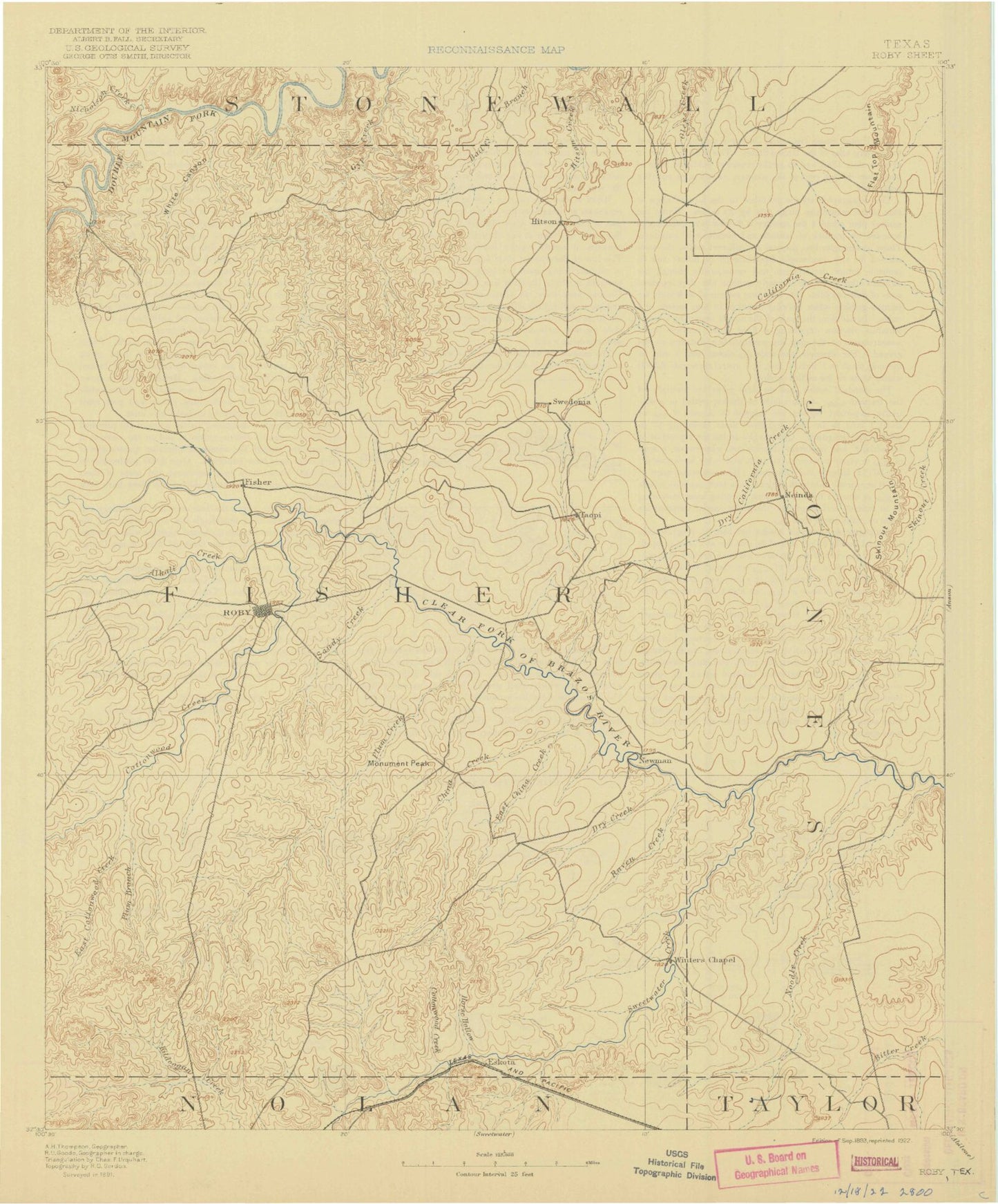
Historic 1893 Roby Texas 30'x30' Topo Map
Couldn't load pickup availability
Historical USGS topographic map of Roby in the state of Texas. Scale: 1:125000. Print size: 17" x 24"
This map was published in 1893 and is in the following counties: Fisher, Jones, Nolan, Stonewall, Taylor.
The map contains contour lines, roads, rivers, towns, streams, and lakes. Printed on high-quality waterproof paper with UV fade-resistant inks.
Contains the following named places: Aaron Park, Alkali Creek, Ball Kuehn Oil Field, Bartlett Oil Field, Bitter Creek, Bluff Creek, Boyds Chapel, Bullock Bend, Celotex, Center, Claytonville Oil Field, Collins Creek, Cottonwood Creek, Crescent Ranch, Dry California Creek, Dry Creek, Dulaney Creek, East Cottonwood Creek, Farnsworth Oil Field, Gyp Creek, Hackberry Creek, Hamlin, Horse Hollow, Little Bitter Creek, Little Stink Creek, McCaulley, Moore Lake, Neinda, Newman Oil Field, Nicholson Creek, Noodle, Noodle Creek, Noodle Oil Field, Oleys Creek, Pardue Camp, Peter Hill, Pitzer Oil Field, Plasterco Lake, Plum Branch, Plum Creek, Poke Mountain, Raven Creek, Raven Creek Oil Field, Rock Creek, Rotan, Rough Creek, Skinout Mountain, South Lake, Spring Canyon, Stink Creek, Sweetwater Creek, Sweetwater Oil Field, West Lake, White Canyon, White Flat Gas Plant, Willow Tank, China Creek, Cottonwood Creek, East China Creek, Longworth, Plum Creek, Roby, Sandy Creek, Sylvester, North Roby, Busby, Capitola, Eskota, Fisher, Gannon, Hitson, Orient, Palava, Pastura, Pledger, Red Bluff Crossing, Reynolds, Royston, Sardis, Tecific, Fisher County, South Lake Dam, Cooper Lake Dam, Cooper Lake, Three Rivers Gypsum Incorporated Lake Dam, Three Rivers Gypsum Incorporated Lake, Moores West Lake Dam, Holland Dam, Holland Lake, Headrick Lake Dam, Headrick Lake, South Fork, Hamlin Division, McCaulley Division, Roby Division, City of Hamlin, City of Roby, City of Rotan, Cal - Tex Feed Yard


