MyTopo
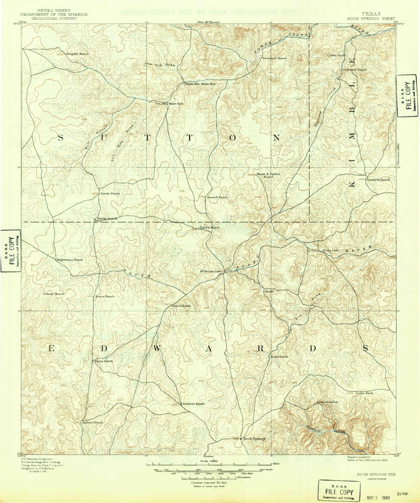
Historic 1893 Rock Springs Texas 30'x30' Topo Map
Couldn't load pickup availability
Historical USGS topographic map of Rock Springs in the state of Texas. Scale: 1:125000. Print size: 17" x 24"
This map was published in 1893 and is in the following counties: Edwards, Kimble, Sutton.
The map contains contour lines, roads, rivers, towns, streams, and lakes. Printed on high-quality waterproof paper with UV fade-resistant inks.
Contains the following named places: Bates Tank, Black Lake, Brockman Ranch, Bundy Ranch, Cardwell Ranch, Cedar Knob, Cedar Pond, Cloudt Draw, Cloudt Waterhole, Cowsert Ranch, Deadman Hollow, Deer Creek, Dragoo Hollow, Dry Draw, Elbow Lake, Felthouse Ranch, Gerhart Ranch, Green Lake, Greer Ranch, Guthrie Draw, Harrison Ranch, Hill Ranch, Jetton Ranch, Kast Ranch, Knust Draw, Lane Hollow, Little Green Lake, Mayfield Ranch, McKenzie Draw, McKenzie Lake, Miers Ranch, Mud Lake, Nethery Ranch, Pecan Bluff, Phillips Draw, Phillips Ranch, Ray Lake, Ridenhower Ranch, Rocksprings, Rose Ranch, Sawyer Ranch, Schoolhouse Bluff, Shay Ranch, Stewart Ranch, Taylor Ranch, Tobin Ranch, Wade Ranch, West Dragoo Hollow, Anderson Ranch, Bell Hollow, Buck Hollow, Burton Ranch, Camp Allison, Cat Hollow, Cedar Knob, Chimney Bluff, Deep Hollow, Duke Wilson Ranch, Dummy Point, Eightmile Draw, Eightmile Waterhole, Fivemile Waterhole, Fort Terrett Peak, Fort Terrett Ranch Historical Site, Foster Ranch, Frog Creek, Gene Wallace Ranch, George Wallace Ranch, Holland Ranch, Joes Point, Kingfisher Bluff, Kingfisher Waterhole, Libb Wallace Ranch, Live Oak Draw, Lost Lake, Mansfield Ranch, Maynard Ranch, McCarty Creek, Mexican Gap, Miers Wilson Ranch, Mule Hollow, North Llano Draw, Patterson Ridge, Reick Draw, Rieck Ranch, Robert Pfluger Ranch, Rock Waterhole, Roosevelt, Spring Hollow, Steen Lake, Tenmile Draw, Tenmile Waterhole, Tenmile Waterhole, Twin Buttes, Bull Hollow, Dry Llano River, Maynard Creek, Miers Wilson Gas Field, Rattlesnake Draw, Tenmile Draw, West Fork Maynard Creek, Buck Hollow, Wilson Place, Fort Terrett Ranch River Dam, Fort Terrett Ranch River Reservoir, Heitmeyer Lake Dam, Heitmeyer Lake, Rocksprings North Division, Devils Sinkhole State Natural Area, Town of Rocksprings


