MyTopo
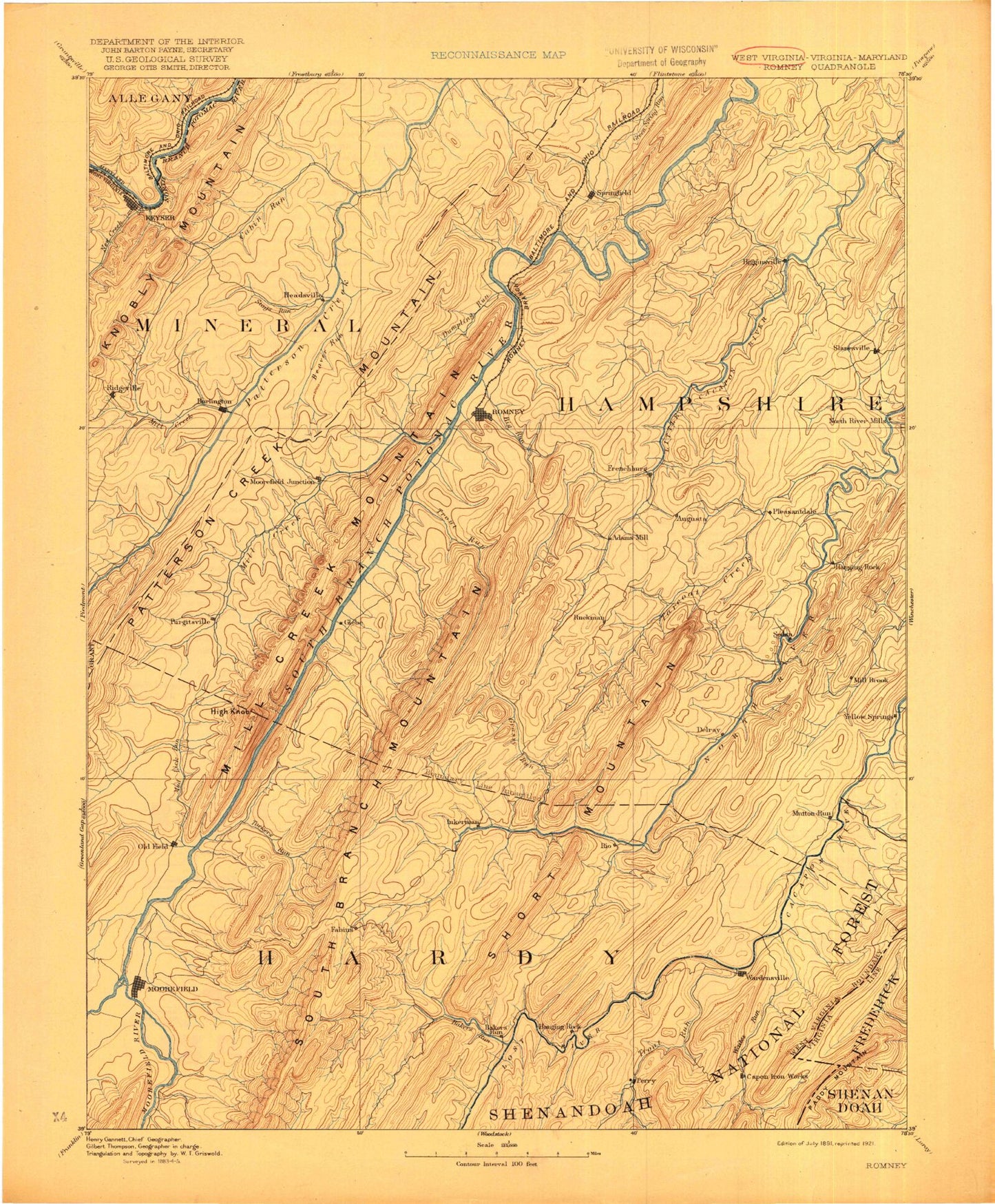
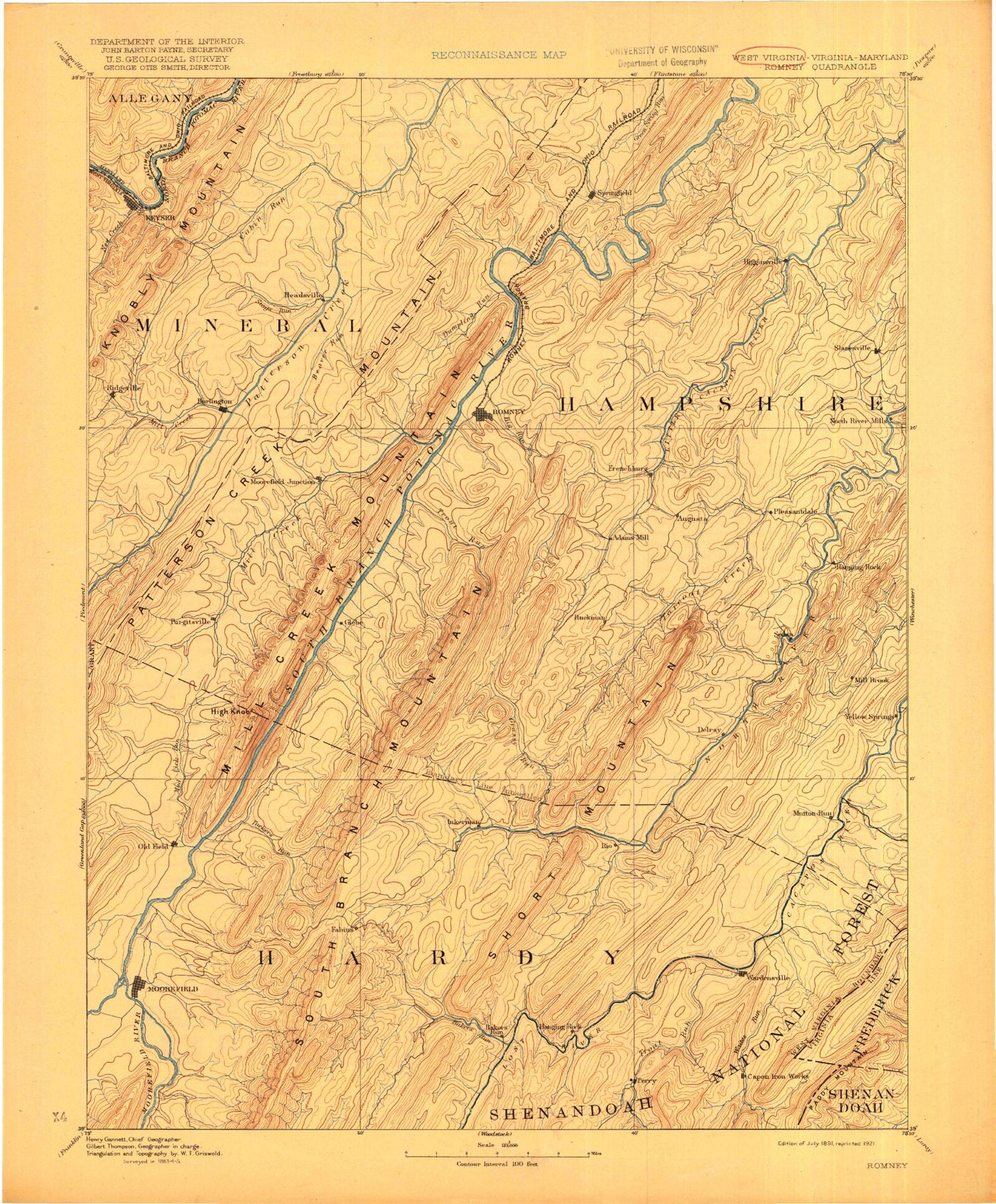
Historic 1891 Romney West Virginia 30'x30' Topo Map
Couldn't load pickup availability
Historical USGS topographic map of Romney in the state of West Virginia. Scale: 1:125000. Print size: 17" x 24"
This map was published in 1891 and is in the following counties: Allegany, Frederick, Grant, Hampshire, Hardy, Mineral, Shenandoah.
The map contains contour lines, roads, rivers, towns, streams, and lakes. Printed on high-quality waterproof paper with UV fade-resistant inks.
Contains the following named places: Great North Mountain, Paddy Mountain, Abernathy Run, Abrams Ridge, Allen Run, Anderson Run, Augusta, Bearwallow Creek, Beaver Run, Bell Hollow, Big Run, Birch Hollow, Bird Ridge, Broad Run, Brushy Run, Buck Ridge, Buffalo Creek, Buffalo Run, Burlington, Buskirk Run, Cabin Run, Camp Minco, Camp Run, Camp Run, Cave Run, Cherry Hill, Chestnut Oak Ridge, Chimney Hollow, Clints Run, Coburn Knob, Core Run, Crooked Run, Deep Run, Devil Hole Run, Devils Backbone, Dover Hollow, Dowden Run, Dry Run, Dry Run, Dry Run, Dug Hill Run, Dumpling Run, Dumpling Run, Dunmore Ridge, Elliber Run, Elmlick Run, Falling Springs Gap, Flats, Forge Hill, Fox Run, Frenchburg, Gerstell Hollow, Gibbons Run, Grassy Lick Run, Graveyard Run, Graybill Hollow, Greenwood Hollow, Hanging Rock, Harness Run, Hazel Run, Henderson Hollow, Hiett Run, Hoffman Hollow, Hollenbeck Run, Hopkins Lick Run, Horn Camp Run, Horselick Run, Horseshoe Mountain, Horseshoe Run, Hutton Run, Island Ridge, Johns Run, Johnson Run, Kellar Run, Keyser, Keyser Reservoir, Levels, Liller Run, Limestone Run, Little Cacapon Mountain, Little Devil Hole Run, Little Mountain, Lockinger Ridge, Long Knob, Long Meadow Run, Long Run, Maple Run, Mayhew Run, McDowell Run, Meadow Run, Merritt Knob, Middle Ridge, Mikes Run, Mikes Run, Mill Creek, Mill Creek, Mill Creek Mountain, Mill Run, Mill Run, Mine Hollow, Moorefield, Mouser Ridge, Mud Run, Mud Run, Mudlick Run, New Creek, Noland Ridge, North Fork Little Cacapon River, O'Neil Gap, Ochre Run, Pargut Run, Parrill Run, Patterson Creek Mountain, Phils Knob, Points, Pot Lick Run, Potato Row, Powder Spring Knob, Purgitsville, Pursley Run, Queens Ridge, Rada, Reynolds Gap, Ridgeville, Rinehart Run, Rio, River Mountain, River Ridge, Sawmill Ridge, Sawmill Run, Sawmill Run, Shawan Run, Short Hollow, South Fork Little Cacapon River, Spring Run, Springfield, Springfield Valley, Staacks Gap, Staggs Run, Stony Run, Stony Run, Stony Run, Stony Run, Stuart Hollow, Stump Run, Sugar Run, Sugar Run, Sugarcamp Hollow, Sugarcamp Run, Sugarloaf Knob, Sulphur Spring Hollow, Sulphur Spring Run, Swisher Hollow, Sycamore Run, Tear Coat Creek, The Trough, Thrasher Knob, Three Churches Run, Thunderhill Run, Timber Mountain, Timber Ridge, Titus Run, Tom Williams Hollow, Toombs Hollow, Town Hill, Trinton Hollow, Turkeyfoot Run, Turnmill Run, Twin Mountain, Walnut Bottom Run, Waxter Hollow, Wergman Run, Whipps Run, Wild Meadow Run, Williams Hollow, Willow Run, Wood Hollow, Nathaniel Mountain Wildlife Management Area, Slanesville, Wacousta Hill, Barnes Mill, Higginsville, Hoy, McNeill, Mechanicsburg, Ritters, Sycamore, Vance, Wapocomo, Anderson Ridge, Arkansas, Baker Run, Bears Hell, Bears Hell Run, Big Ridge, Brushy Hollow, Brushy Hollow Trail, Brushy Ridge, Buck Mountain, Camp Branch, Camp Hemlock, Camp Pinnacle, Capon Springs Run, Cave Valley, Cherry Ridge, Chestnut Ridge, Clifford Hollow, Cove Run, Cove Run, Davis Ford, Dry Run, Dutch Hollow, Elkhorn Run, Ellis Hollow, Falling Run, Flat Ridge, Fort Run, Gunbarrel Hollow, Halfmoon Mountain, Halfmoon Run, Hanging Rock, Hanging Rock Ridge, Harness Run, Hawk Run, High Rocks, High Top Ridge, Hunting Ridge, Jemima Hollow, Landacre Hollow, Lawn Knob, Lick Run, Long Lick Run, Lost River, McKees Rocks, Millbrook, Moores Run


