MyTopo
Historic 1912 Roosevelt Arizona 30'x30' Topo Map
Couldn't load pickup availability
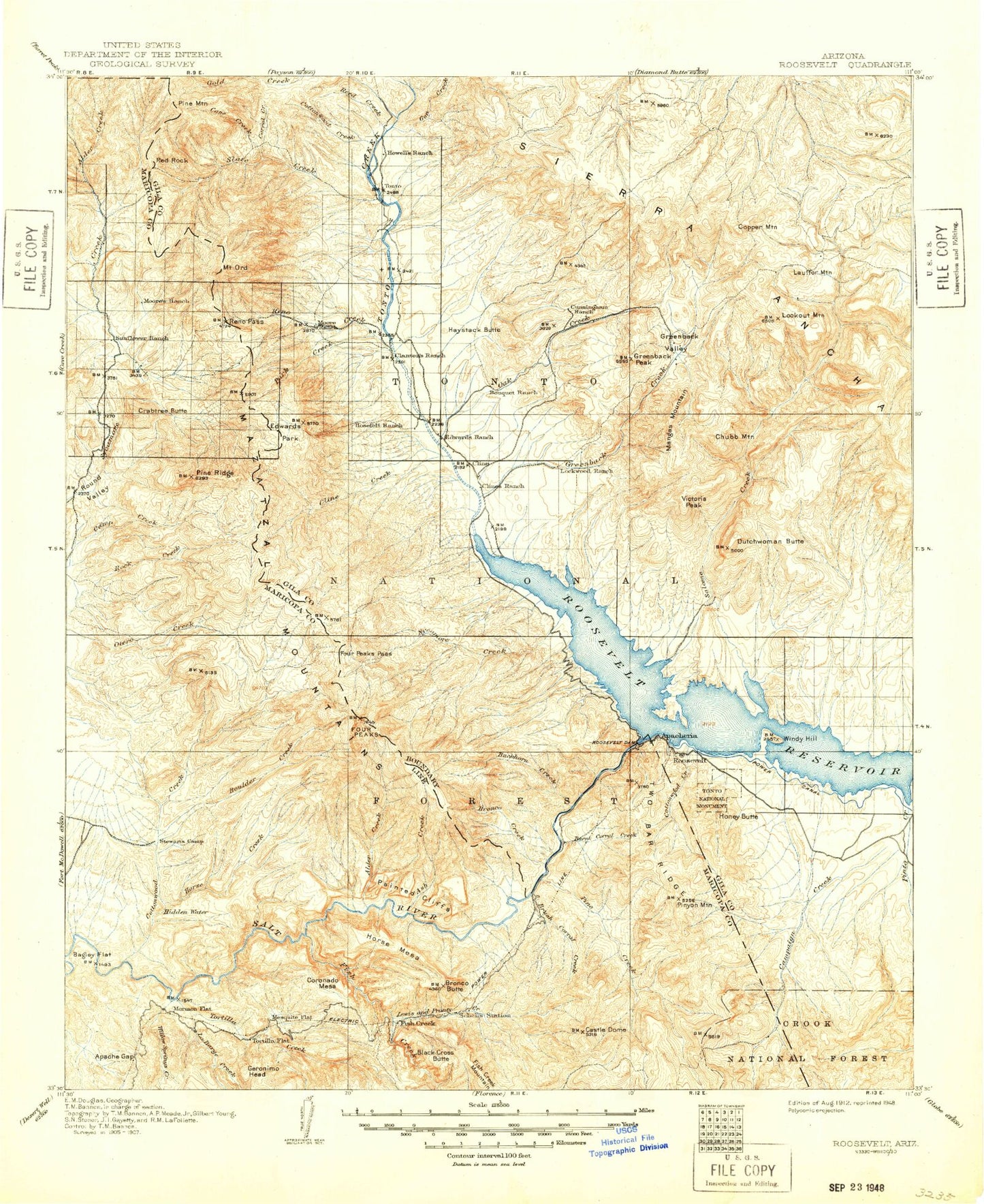
Historical USGS topographic map of Roosevelt in the state of Arizona. Scale: 1:125000. Print size: 17" x 24"
This map was published in 1912 and is in the following counties: Gila, Maricopa, Yavapai.
The map contains contour lines, roads, rivers, towns, streams, and lakes. Printed on high-quality waterproof paper with UV fade-resistant inks.
Contains the following named places: Upper Thompson Mesa Tank, Bell Plaza Shopping Center, Cholla Tank, Lake Tank, Mills Ridge Tank, South Cactus Tank, Owlhead, Adams Camp, Alchesay Canyon, Alder Creek, Alder Saddle, Alder Trail, Apache Gap, Apache Hill, Apache Lake, Apache Trail, Armer Gulch, Armer Mountain, Ash Creek, Ash Creek, Bagley Flat, Bagley Tank, Baker Mountain, Baldy Canyon, Baldy Trail, Baldy Trail, Ballantine Canyon, Bass Point, Bear Head Canyon, Bear Head Mountain, Big Cherry Creek, Big Oak Flat, Big Pine Flat, Big Rincon Tank, Big Saddle, Big Turkey Tank, Black Cross Butte, Black Mesa, Black Mountain, Blue Hills, Blue Peak, Blue Peak Canyon, Blue Tank Canyon, Bluebird Mine, Boneyback Peak, Boulder Bobs Cabin, Boulder Canyon, Boulder Creek, Boulder Creek, Boulder Creek Trail, Boulder Mountain, Boulder Pass, Bouquet Ranch, Boyer Canyon, Boyer Ridge, Bronco Butte, Bronco Creek, Brownie Tank, Browns Peak, Brunson Ranch, Brushy Basin, Buck Basin, Buck Peak, Buckaroo Flats, Buckaroo Tank, Buckhorn Creek, Buckhorn Mountain, Buckhorn Ridge, Buena Vista Creek, Bull Basin, Bull Mountain, Bumblebee Creek, Burnt Corral Recreation Site, Burnt Corral Creek, Bushnell Sheep Tank, Cactus Butte, Camelback Peak, Campaign Creek, Cane Spring Canyon, Cane Spring Canyon, Canyon Lake, Castle Dome, Cataract Canyon, Cataract Tank, Cave Canyon, Cedar Basin, Cellar Creek, Chalk Mountain, Cholla Canyon, Cholla Tank, Chubb Mountain, Chuckwalla Canyon, Chukar Wash, Cline Cabin, Cline Mesa, Cloudburst Canyon, Colcord Canyon, Connor Canyon, Connor Wash, Conway Ranch, Copper Mountain, Copper Mountain Points Tank, Copper Mountain Tank, Cornucopia Mine, Coronado Mesa, Corral Creek, Cottonwood Basin, Cottonwood Camp, Cottonwood Creek, Cottonwood Creek, Cottonwood Creek, Cottonwood Creek, Cottonwood Wash, Crabtree Butte, Crabtree Wash, Cross F Ranch, Cypress Peak, Dagger Wash, Davis Wash, Deadman Canyon, Deer Hill, Del Shay Basin, Denton Trail, Devils Canyon, Diamond Mountain, Diamond Ranch, Dupont Cabin, Dupont Canyon, Dupont Tank, Dust Bowl Tank, Dutchwoman Butte, Dutchwoman Tank, Eagle Peak, East Fork Sycamore Creek, East Lacy Fork, Edwards Park, Edwards Peak, El Oso Mine, El Recortado, First Water Creek, Fish Creek Canyon, Fish Creek Peak, Four Peaks, Four Peaks Trail, Fox Gulch, Goat Mountain, Gold Creek, Government Hill, Granite Mountain, Granite Spring Trail, Grapevine, Greenback Creek, Greenback Peak, Greenback Saddle Tank, Greenback Valley, Gun Creek, Gunsight Gap, Hackberry Basin, Hackberry Creek, Half Moon Ridge, Hardt Creek, Haufer Wash, Haystack Butte, Haystack Island, Headquarters Pasture Tank, Hells Hip Pocket, Hells Hole, Henderson Mesa, Honey Butte, Hopkins Mountain, Horrell Ranch, Horse Canyon, Horse Mesa, Horse Mesa, Horse Mesa Dam, Horse Range Mesa, Indian Camp Canyon, Indian Camp Reservoir, Inspiration Point, Iron Dike, J R Canyon, J R Ranch, J Slash X Ranch, Jakes Tank Canyon, Jerky Butte Tank, Jess Peak, Jolene Mine, Journigan Mine, Juniper Canyon, Juniper Mountain, Kayler Butte, Kitty Joe Canyon, La Barge Canyon, Lambing Creek, Lann Tank, Lewis and Pranty Creek, Lime Mountain, Lion Canyon, Little Cherry Creek, Little Copper Mountain Tank, Little Daisy Mine, Little Mount Ord, Little Pine Flat, Little Turkey Creek, Little Turkey Tank, Lone Pine Trail, Long Canyon, Long Gulch, Lookout Point, Lower Thompson Mesa Tank, Malicious Gap, Maverick Basin, McBride Tank, McFarland Canyon, Mercuria Mine, Mesquite Creek, Mesquite Flat, Methodist Creek, Methodist Mesa, Methodist Mountain, Middle Mountain, Mills Canyon, Mine Mountain, Mistake Peak, Moore Ranch, Mormon Flat Dam, Mud Spring Canyon, Nonesuch Rocks, O'Neil Tank, Oak Creek, Oak Creek Ranch, Oak Spring Canyon, Ord Mine, Mount Ord, Packard Wash, Painted Cliffs