MyTopo
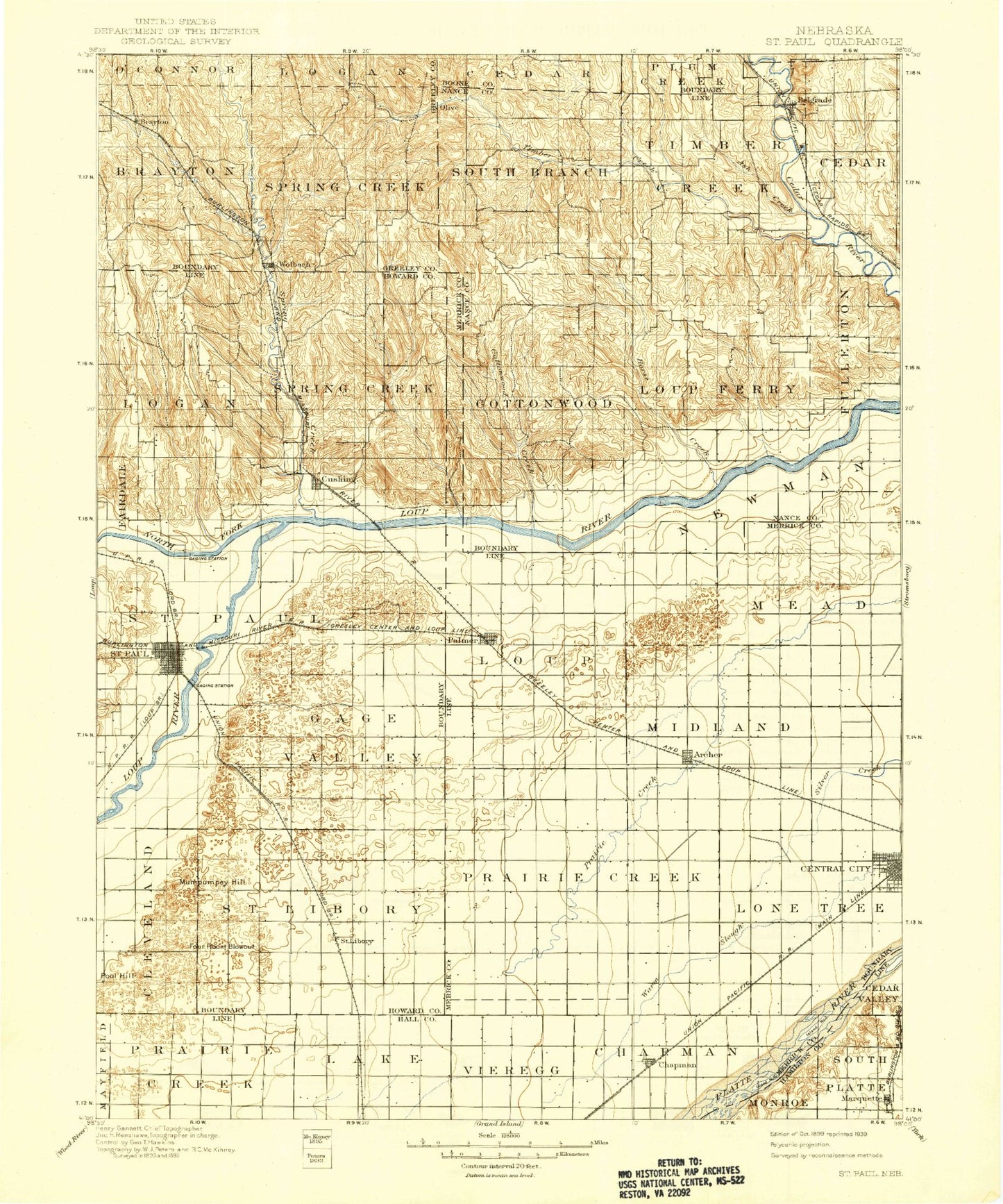
Historic 1899 Saint Paul Nebraska 30'x30' Topo Map
Couldn't load pickup availability
Historical USGS topographic map of Saint Paul in the state of Nebraska. Scale: 1:125000. Print size: 17" x 24"
This map was published in 1899 and is in the following counties: Boone, Greeley, Hall, Hamilton, Howard, Merrick, Nance.
The map contains contour lines, roads, rivers, towns, streams, and lakes. Printed on high-quality waterproof paper with UV fade-resistant inks.
Contains the following named places: Archer, Ash Creek, Belgrade, Big Slough, Big Slough, Bushes Island, Cady Creek, Cedar Creek, Central City, Chapman, Cottonwood Creek, Cushing, Elk Creek, Horse Creek, Lake Creek, Marquette, Moores Creek, Mumpumpey Hill, North Branch Timber Creek, North Loup River, North Star, Palmer, Pool Hill, Prairie Slough, Rock Creek, Saint Libory, Saint Paul, Silver Creek, South Branch Timber Creek, Spring Creek, Timber Creek, Timber Creek, Turkey Creek, West Branch Spring Creek, Wolbach, Wood River, Worms, Brayton, Hord, Paddock, Merrick County, School Number 33, School Number 36, School Number 42, School Number 80, School Number 82, Middle Loup River, Township of Cedar, City of Central City, Township of Chapman, Township of Cottonwood, Township of Fullerton, Township of Lake, Township of Lone Tree, Township of Loup, Township of Loup Ferry, Township of Mead, Township of Midland, Township of Prairie Creek, Township of Prairie Creek, Township of South Branch, Township of Timber Creek, Township of West Newman, Tom Sherman Dam, Sherman Reservoir, Robinson Dam, Robinson Reservoir, Larsen Dam, Larsen Reservoir, Kolar Dam, Kolar Reservoir, Davis Brothers Dam, Davis Brothers Reservoir, Horn Dam, Horn Reservoir, Gdowski Dam, Gdowski Reservoir, Voichahoske Dam, Voichahoske Reservoir, Hellbusch Dam, Miller Dam, Miller Reservoir, Petersen Dam, Petersen Reservoir, Deppen Dam, Deppen Reservoir, Stone Dam, Stone Reservoir, Scott Dam, Scott Reservoir, Kotlarz Dam, Kotlarz Reservoir, Wolbach City Park, Dino Mini Park, Farmers Union Co-op Elevator, Township of Logan, Township of Spring Creek, Township of Brayton, Township of Saint Libory, Township of Logan, Township of Saint Paul, Township of Spring Creek, Township of Gage Valley, Loup Junction State Wildlife Management Area, North Loup State Recreation Area, Howard County Fairgrounds, Saint Paul, Grover Cleveland Alexander Ball Field, Howard County Historical Village, Saint Paul City Park, Scoular Company Elevator, Saint Paul Cooperative Grain Association Elevator, Bel-Air RV Park, Saint Paul Country Club, Saint Libory, Union Grain Company Elevator, Grover Cleveland Alexander Historical Marker, Township of Plum Creek, Township of Cedar, Belgrade, Belgrade Grain Company Elevator, Lone Tree Historical Marker, Platte Valley Trailer Court, Central City Mall, Cargill Incorporated Elevator, Central City, Lone Tree Park, North Park, Kernel Field, Merrick County Fairgrounds, Palmer, Aurora Co-op Elevator Company Elevator - Chapman Branch, Chapman, Archer, Scoular Company Elevator, United Co-op Incorporated Elevator, Aurora Cooperative Elevator Company - Marquette Elevator, Marquette, Valley View Golf Course, Fairdale-Logan Election Precinct, Gage Valley Election Precinct, Spring Creek Election Precinct, Saint Libory Election Precinct, Saint Paul Election Precinct, Wolbach Election Precinct, City of Saint Paul, Village of Chapman, Village of Belgrade, Village of Cushing, Village of Marquette, Village of Palmer, Village of Wolbach, Mamot Feed Lots


