MyTopo
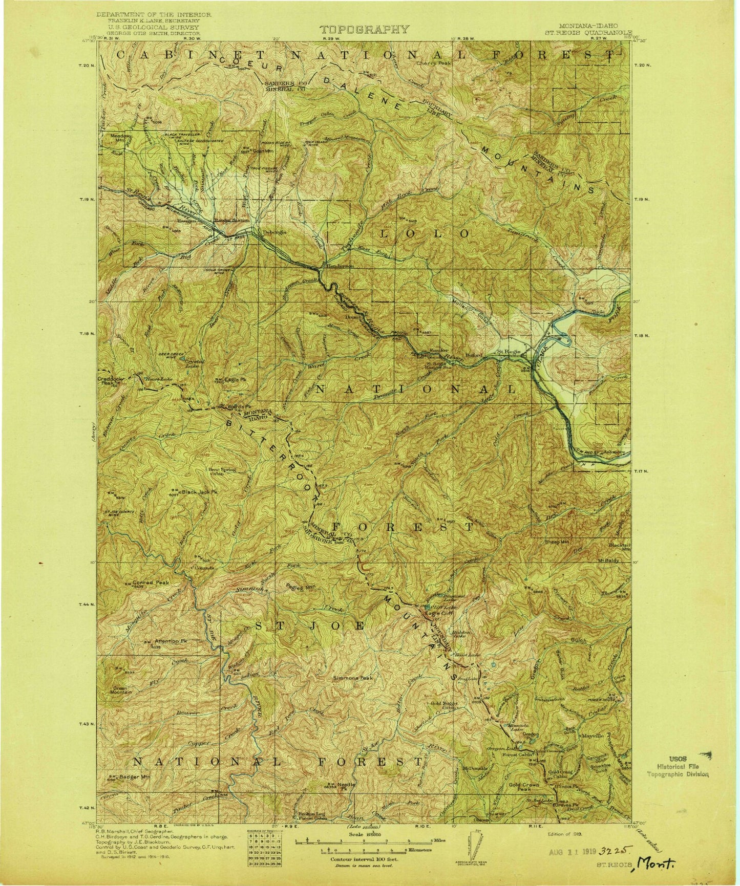
Historic 1919 Saint Regis Montana 30'x30' Topo Map
Couldn't load pickup availability
Historical USGS topographic map of Saint Regis in the state of Montana. Scale: 1:125000. Print size: 17" x 24"
This map was published in 1919 and is in the following counties: Mineral, Sanders, Shoshone.
The map contains contour lines, roads, rivers, towns, streams, and lakes. Printed on high-quality waterproof paper with UV fade-resistant inks.
Contains the following named places: Craddock Peak, Eagle Cliff, Illinois Peak, Little Joe Mountain, Ward Cabin, Ward Peak, Binocular Peak, Black Peak, Flattop Mountain, Graves Peak, Green Mountain Creek, Bonanza Lakes, Butler Gulch, Cold Peak, Crystal Lake, Heart Lake, Hidden Lake, Lost Peak, Mayo Gulch, Moore Lake, Red Hill, Saint Regis, Saint Regis Beacon, Spruce Creek, Tamarack Hill, Toole, West Fork Middle Fork Big Creek, Acorn Lake, Aladdin Mine, Amador Mine, American Gold Mine, Ann Arbor Gulch, Arvilla Lookout Station, Mount Baldy, Barber Gulch, Bear Creek, Bemish Creek, Big Creek, Big Flat, Black Traveler Mine, Blackburn Creek, Blacktail Mountain, Bonanza Gulch, Bouchard Lake, Boyd Mountain, Brooks Mountain, Brown Gulch, Burnt Flats Creek, Mount Bushnell, Buzzard Gulch, Cabin City, California Gulch, Camels Hump Lookout Station, Cameron Peak, Canyon Creek, Cataract Gulch, Cayuse Gulch, Cayuse Saddle, Cedar Creek, Cedar Creek Stock Driveway, Cherry Peak, China Gulch, Cinkers Mine, Clear Lake, Cliff Lake, Coeur d'Alene Mountains, Cold Creek, Cook Creek, Copper Rock Mine, Coyle Creek, Cromie Creek, Cruzane Gulch, Cruzane Mountain, De Borgia, Dee Creek, Deep Creek Lake, Deer Creek, Diamond Lake, Drexel, Drury Peak, Dry Fork, Dry Fork Dry Creek, Eagle Peak, East Coeur D'Alene Mine, East Fork Big Creek, East Fork Packer Creek, East Fork Pass, East Fork Timber Creek, East Fork Twelvemile Creek, East Twin Creek, Elizabeth Gulch, Fisher Creek, Flat Rock Creek, Flat Rock Lookout Station, Fourmile Creek, Fourth of July Gulch, Freezeout Creek, Gildersleeve Mine, Gilt Edge Creek, Goat Mountain, Gold Creek, Gold Lake, Gold Peak, Golden Sunset Mine, Graham Gulch, Greenwood Hill, Grubstake Gulch, Haugan, Hawk Mountain, Hazel Lake, Heart Lake, Henderson, Henderson Creek, Henderson Hill, Hendrickson Gulch, Homestake Gulch, Hub Lake, Illinois Gulch, Joan Creek Pass, Jordan Creek, Keith Creek, Knox Pass, Lenora Lake, Lime Gulch, Little Joe Creek, Little Joe Lookout Station, Lodgepole Creek, Long Gulch, Lost Creek, Lost Lake, Marble Creek, Mary Ann Gulch, Mary Lake, Mayo Creek, McGee Creek, McGee Peak, McKinney Creek, McManus Creek, Meadow Mountain, Meadow Mountain Mine, Middle Fork Big Creek, Middle Rock Creek, Mill Creek, Miller Mine, Mineral Mountain Creek, Mineral Ridge, Mink Creek, Mink Peak, Missoula Gulch, Missoula Lake, Montreal Gulch, Moon Creek, Moon Peak, Moore Creek, Mullan Gulch, New Lenore Mine, Newman Creek, Newman Peak, North Fork Little Joe Creek, Northup Creek, Olson Peak, Oregon Lakes, Oregon Peak, Penrose Peak, Pierson Creek, Prospect Mountain Number One, Prospect Mountain Number Two, Rabbit Creek, Rivers Creek, Rivers Peak, Rock Creek, Rock Island Mine, Rudie Lake, Saint Regis River, Saltese Consolidated Mine, Savenac Creek, Sheep Mountain, Short Creek, Silver King Mine, Slow Creek, Sloway Campground, Snowshoe Gulch, South Fork Little Joe Creek, South Fork Tamarack Creek, Square Lake, Storm Creek, Storm Peak Trail, Sunset Creek, Sunset Peak, Sunset Peak, Superior Mine, Tamarack Creek, Tarbox Mine, Texas Mine, Timber Creek, Torino Creek, Torino Peak, Trail Creek, Trail Lake, Trapper Cabin Creek, Trapper Creek, True Fissure Mine, Twelvemile Creek, Two Creek, Twomile Creek, Twomile Pond, Unnamed Creek, Up Up Creek, Up Up Mountain, Valentine Mine, Wabash Mine, Wade Peak, Ward Creek, West Fork Big Creek, West Fork Timber Creek, West Twin Creek, Wilson Gulch, Wilson Lake, Wishard Creek, Wolf Creek, Wolverine Gulch, Freezeout Pass, Lost Creek Falls, Lost Meadows, Miller Saddle, Reeves Creek, Rock Creek Vista, C C Divide, Twin Creek, Marble Point, Savenac Nursery, Little Joe Slide Point of Interest, Moore Lake Recreation Site, Haugan Mountain, Burr Saddle, Diamond Lake Recreation Site


