MyTopo
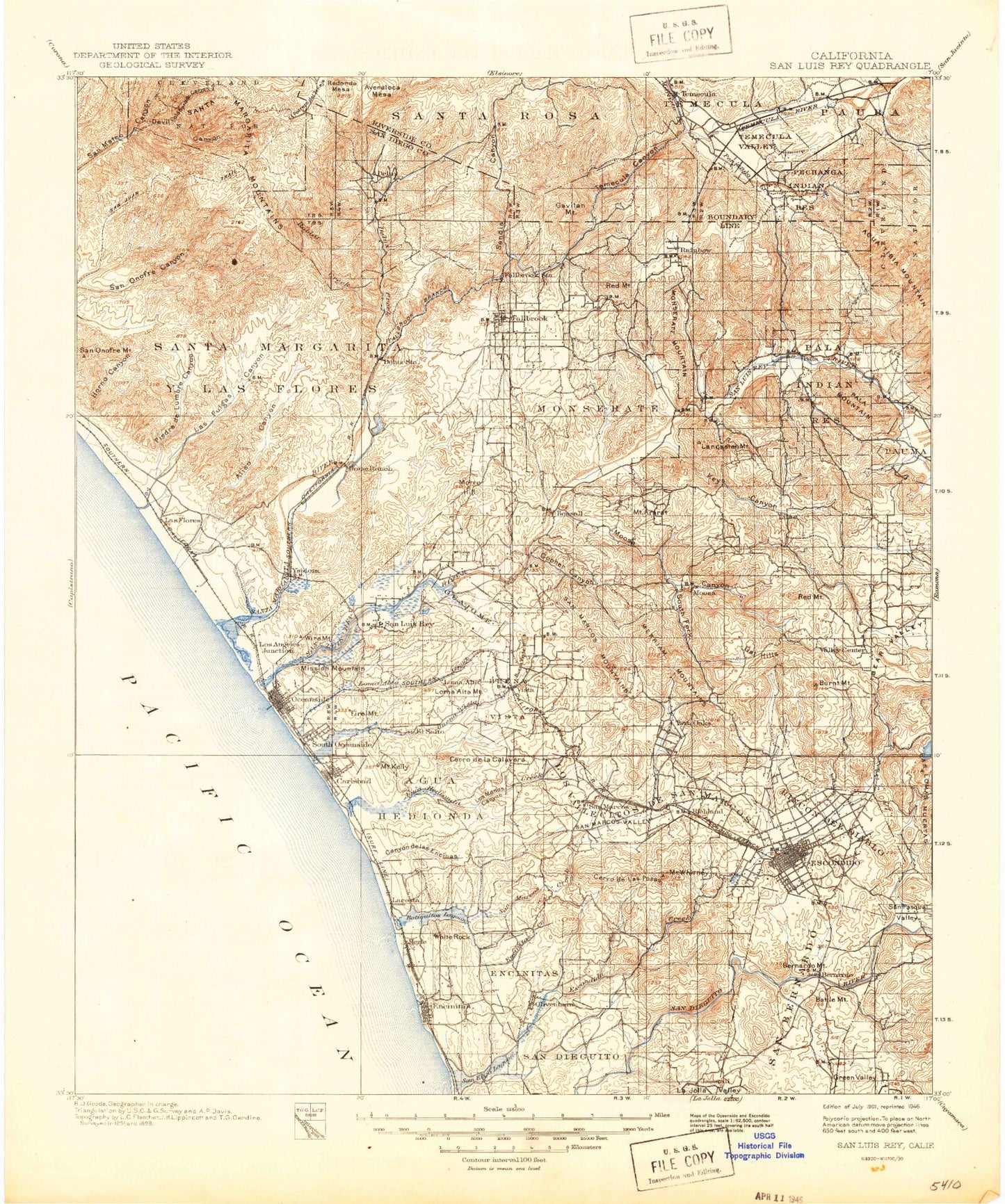
Historic 1901 San Luis Rey California 30'x30' Topo Map
Couldn't load pickup availability
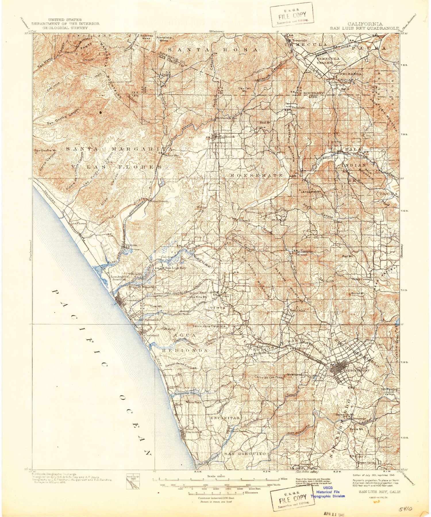
Historical USGS topographic map of San Luis Rey in the state of California. Scale: 1:125000. Print size: 18" x 24"
This map was published in 1901 and is in the following counties: Riverside, San Diego.
The map contains contour lines, roads, rivers, towns, streams, and lakes. Printed on high-quality waterproof paper with UV fade-resistant inks.
Contains the following named places: Agua Hedionda, Agua Hedionda, Agua Hedionda Creek, Mount Ararat, Asistencia de Las Flores, Batiquitos Lagoon, Battle Mountain, Bernardo Mountain, Bottle Peak, Buena Creek, Buena Vista, Buena Vista Creek, Buena Vista Lagoon, Burnt Mountain, Calavera Lake, Camp De Luz, Camp Del Mar, Capistrano Park, Cardiff State Beach, Chase Field, Circle R Ranch, Cloverdale Ranch, Cockleburr Canyon, Coxey Hill, Double Peak, Dulin Ranch, Eastside Park, Ecke Park, Encinitas Beach County Park, Encinitas Creek, Evans Point, Four-S Ranch, Franks Peak, French Canyon, Gavilan Mountain, Glen Park, Gopher Canyon, Green Oaks Ranch, Green Valley, Green Valley, Guajome, Guajome Lake, Hellers Bend, Hideaway Lake, Mount Hinton, Holiday Park, Home Ranch, Horno Canyon, Horno Hill, Hubbert Lake, La Jolla Valley, Lancaster Mountain, Landes Park, Las Flores Creek, Lawrence Canyon, Letterbox Canyon, Leucadia Park, Little Libby Lake, Live Oak Park, Loma Alta Creek, Loma Alta Mountain, Los Encenitos, Los Monos Canyon, Los Vallecitos, Los Vallecitos De San Marcos, Lusardi Creek, Lux Canyon, Marron Canyon, Marshall Street Park, Martin Reservoir, Merriam Mountains, Mission Mountain, Monserate, Monserate Mountain, Moonlight State Beach, Morro Hill, Newton Canyon, Lake O'Neill, Oak Lake, Oat Hills, Oat Hills Tunnel, Oceanside Harbor, Old Castle Ranch, Olivenhain, Osuna Valley, Pechanga Creek, Piedra de Lumbre Canyon, Pilgrim Creek, Ponto, Leucadia State Beach, Pueblitos Canyon, Pulgas Lake, Quail Park Botanical Garden, Rainbow Creek, Rainbow Valley, Ranch House, Rancho de los Quiotes, Rancho Guajome, Rancho Santa Fe, Rancho Viejo, Rattlesnake Canyon, Red Mountain, Red Mountain, Red Mountain Fire Station, Red Mountain Ranch, Red Mountain Tunnel, Reidy Canyon, Rice Canyon, Rincon Del Diablo, Royal Oak Ranch, San Bernardo, San Dieguito, San Dieguito Reservoir, San Elijo Canyon, San Elijo Lagoon, San Elijo State Beach, San Marcos Creek, San Marcos Mountains, Lake San Marcos, San Onofre Mountain, Sandia Canyon, Santa Maria Creek, Santa Sinforosa Ridge, Sea Cliff County Park, Seaside Gardens County Park, South Carlsbad State Beach, South Fork Gopher Canyon, South Fork Moosa Canyon, Squires Dam, Temecula, Temecula Canyon, Temecula Valley, Todd Memorial Park, Tuley Canyon, Twin Oaks Valley, Vista Canal, Walker Basin, Warren Canyon, Washington Park, Mount Whitney, Windmill Canyon, Windmill Lake, Wood Canyon, Ysidora Basin, Arroyo Poco, Chappo, Camp Pendleton, Yaldora, Del Mar Boat Basin, San Bernardo Valley, Temecula Creek, Canyon de las Encinas, Cerro de la Calavera, Cerro de las Posas, Lake Hodges, Murrieta Creek, Whelan Lake, Agua Tibia Creek, Agua Tibia Ranch, Aliso Canyon, Camps Creek, Castro Canyon, Chief Mountain, Clark Trail, Cold Spring Canyon, Cottonwood Creek, Couser Canyon, De Luz Creek, Devil Canyon, Double Canyon, Escondido Creek, Fern Creek, Frey Creek, Garnsay Ranch, Gomez Creek, Heriot Mountain, Highland Valley, Horno Summit, Jardine Canyon, Keys Canyon, Keys Creek, Las Pulgas Canyon, Lilac Tunnel, Little Chief Mountain, Little Temecula, Magee Creek, Magee Trail, Margarita Peak, Marion Canyon, Pala Reservation, Moosa Canyon, North Fork San Onofre Canyon, Oak Mountain, Oak Slope, Mount Olympus, Pala Chief Mine, Pala Creek, Pala Mountain, Pauba Valley, Pauma Creek, Pauma Valley, Pechanga Reservation, Redonda Mesa, Roblar Creek, Rocky Peak, Ross Lake, San Diego Aqueduct, San Luis Rey River, San Pasqual Valley, Santa Margarita Mountains, Santa Margarita River, Santa Margarita Y Las Flores, Santa Ysabel Creek, Sky Ranch, Stewart Mine, Tourmaline King Mine, Tourmaline Queen Mine, Tourmaline Queen Mountain, Trujillo Creek, Vallecitos, Village Park, Weaver Mountain, White Cloud Mine, Wolf Valley, Yampa Ranch, Encinitas, Escondido, Fallbrook, Oceanside, Rainbow, Temecula, El Camino Country Club, Fallbrook Country Club, Gird Pumping Station, Golden Circle Valley Country Club, La Costa Country Club


