MyTopo
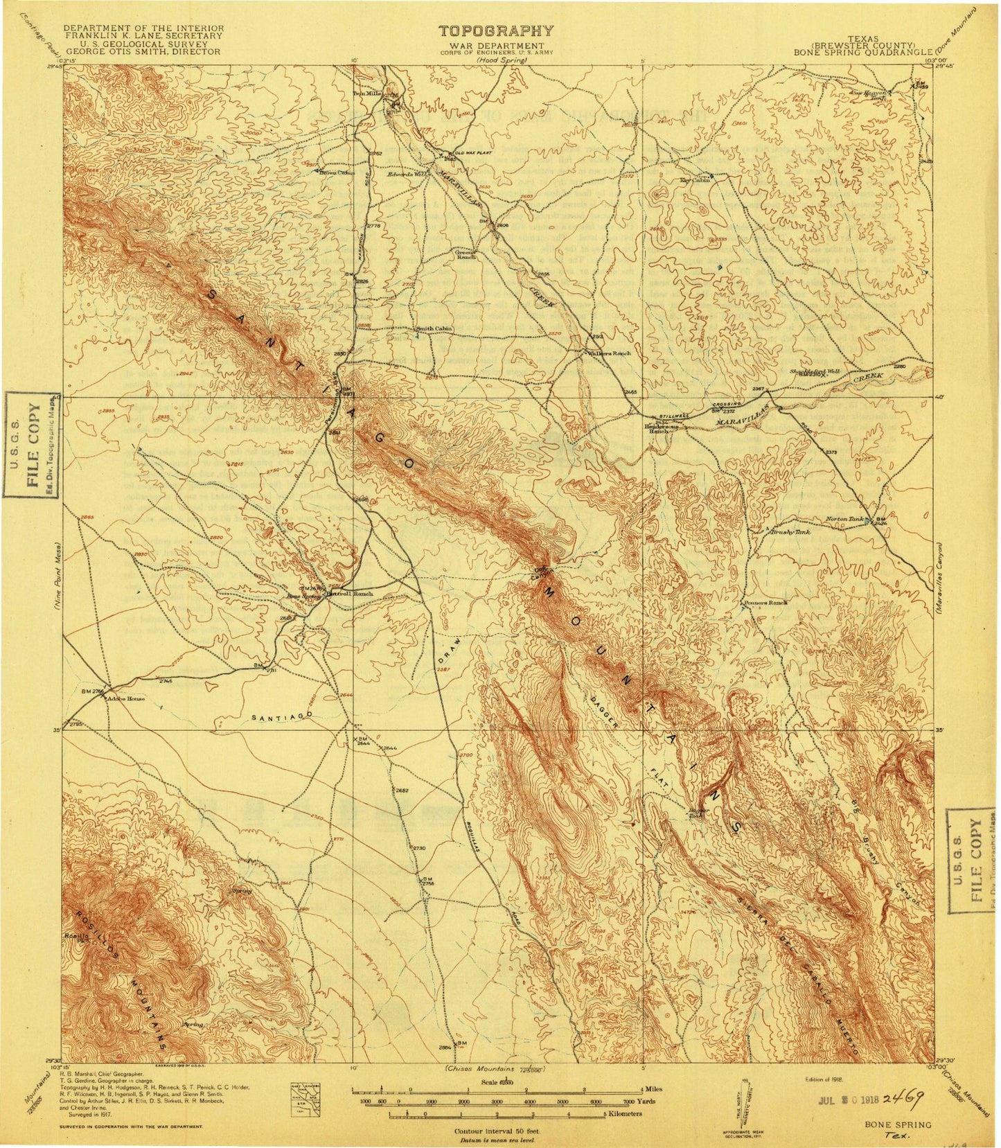
Historic 1918 Sangtiago Mountains Texas 30'x30' Topo Map
Couldn't load pickup availability
Historical USGS topographic map of Sangtiago Mountains in the state of Texas. Scale: 1:125000. Print size: 18" x 24"
This map was published in 1918 and is in the following counties: Brewster.
The map contains contour lines, roads, rivers, towns, streams, and lakes. Printed on high-quality waterproof paper with UV fade-resistant inks.
Contains the following named places: Bear Canyon, Bear Creek Tank, Bee Cave Canyon, Black Mountain, Black Peak, Bone Spring Draw, Brushy Tank, Burnt Willow Canyon, Butterbowl, Buttrill Ranch, Carney Tank, Cartwright Canyon, Cedar Creek, Cochran Mountains, Cow Heaven Tank, Dagger Flat, Dagger Mountain, Dagger Tank, Double Tanks, Gage Indian Creek Ranch, Gooden Windmill, Graytop, Green Windmill, Guy Lee Windmill, Guys Tank, Henderson Ranch, Henderson Windmill, Indian Creek, Jack Eden Mesa, Javelina Draw, Johnson Ranch, Key Cabin Tank, Lease Ranch, Lease-Rixon Trail, Lower Flattop Hill, Lower Rotten Draw, Maravillas Gap, Mine Point Mesa, Nine Point Draw, Norton Tank, Paso del Norte, Penners Windmill, Pipeline Canyon, Rag Canyon, Red Draw, Rixon Ranch, Rosillo Peak, Santiago Draw, Saucier Ranch, Shular Canyon, Stormy Lease Trail, Stove Canyon, Three Mile Hill, Tinaja Mountains, Trough Canyon, Twin Peaks, Upper Flattop Hill, Upper Rotten Draw, West Corazones Draw, Santiago Peak, Bacon Draw, Big Brushy Canyon, Calamity Creek, Chalk Draw, Chalk Mountains, Reynolds Creek, Rosillos Mountains, East Corazones Draw, Sosa Peak, Beckett Corner Windmill, Javelina Gap, Double Mills, Dog Canyon, Persimmon Gap, Persimmon Gap Ranger Station, Corner Windmill, Combs Cattle County Ranch, Fords Ranch, Y E Mesa, Hackberry Creek, Santiago Mountains, Spring Creek, Brewster County, Alpine Division, Big Dark Canyon, Little Dark Canyon, Dog Canyon Trail, Chalk Valley, Black Hills, Red Mountain


