MyTopo
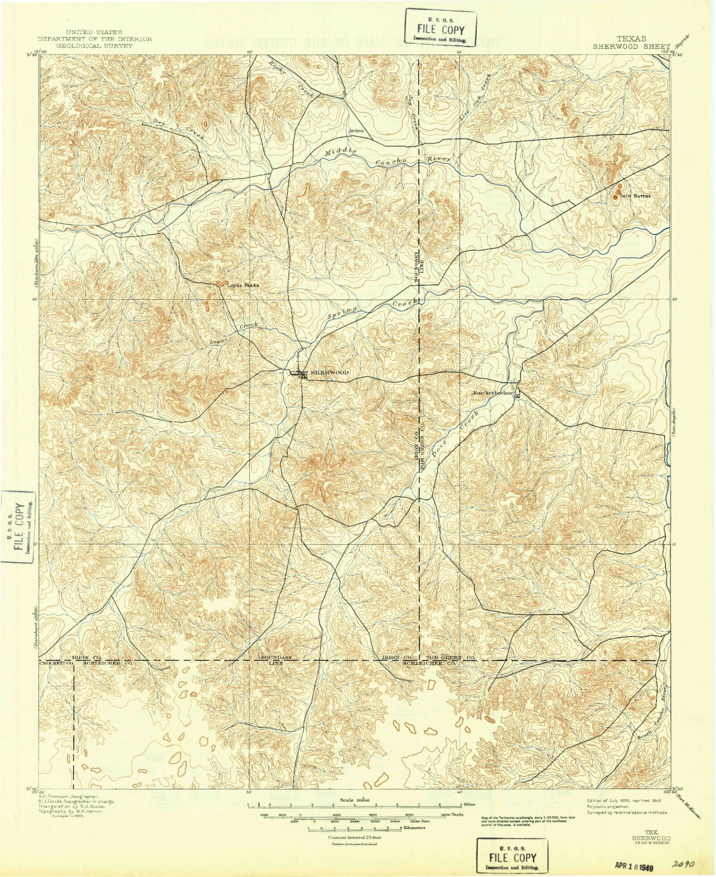
Historic 1895 Sherwood Texas 30'x30' Topo Map
Couldn't load pickup availability
Historical USGS topographic map of Sherwood in the state of Texas. Scale: 1:125000. Print size: 18" x 24"
This map was published in 1895 and is in the following counties: Crockett, Irion, Schleicher, Tom Green.
The map contains contour lines, roads, rivers, towns, streams, and lakes. Printed on high-quality waterproof paper with UV fade-resistant inks.
Contains the following named places: Allen Hill, Big Hill, Big Hollow Draw, Boys Ranch West Texas, Brushy Creek, Bryant Ranch, Bull Run Creek, Carter Windmill, Case Ranch, Chosey Windmill, Clay Waterhole, Cold Creek, Dove Creek, Dove Creek Draw, Dry Creek, Dry Rocky Creek, Duff Ranch, Duncan Ranch, Dutch Woman Draw, East Rocky Creek, Field Ranch, Flat Rock Windmill, HJ Oil and Gas Field, Hackberry Waterhole, Headquarters Windmill, Henderson Ranch, High Point Hill, Highway Windmill, Hughes Ranch, Jehovahs Witnesses Waterhole, Kelly Ranch, Knickerbocker, Little Windmill, Lopez Creek, Lopez Peaks, Lost Windmill, Lower Gillis Windmill, Mayer Ranch, Mertzon Oil Field, Monument Hill, Neva West Oil and Gas Field, Nine Draw, North Windmill, Oil Well Windmill, Pot Creek, Pulliam Oil Field, Pulliam Point, Red Bluff Slough, Red Slough, Rock Pen Draw, Rock Slough, Seep Draw, Sherwood, Spring Creek, Steel Windmill, Sugg Ranch, Sulphur Windmill, Tankersley, Tenmile Waterhole, Tullos Ranch, Turkey Windmill, Tweedy Ranch, Twentyfoot Windmill, Twin Buttes, Twin Buttes Reservoir, Upper Gillis Windmill, Upper Vinson Windmill, Wallace Draw, Wardlaw Ranch, West Rocky Creek, West Windmill, Wilson Draw, Wilson Windmill, XQZ Ranch, Indian Draw, Mertzon, Middle Concho River, O C Fisher Lake, Arden, Hulldale, Noelke, Irion County, Twin Buttes Dam, Jones Dam, Rust Dam, Rust Reservoir, Fry Dam, Fry Reservoir, Ripple Dam, Ripple Reservoir, XQZ Lake Dam, Metcalfes Spring Creek Dam, Metcalfes Spring Creek Reservoir, Ball Dam, Ball Reservoir, XQZ Lake, Mertzon North Division, Mertzon South Division, West Tom Green Division, Lincoln Park, San Angelo State Park - South Shore, Red Bluff Park, San Angelo State Park Trail, City of Mertzon


