MyTopo
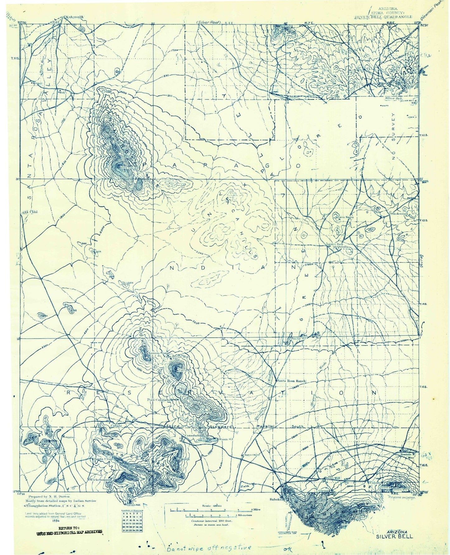
Historic 1934 Silver Bell Arizona 30'x30' Topo Map
Couldn't load pickup availability
Historical USGS topographic map of Silver Bell in the state of Arizona. Scale: 1:125000. Print size: 17" x 24"
This map was published in 1934 and is in the following counties: Pima.
The map contains contour lines, roads, rivers, towns, streams, and lakes. Printed on high-quality waterproof paper with UV fade-resistant inks.
Contains the following named places: Aguirre Wash, Anegan Wash, BSK Mine, Black Hills, Black Mountain, Cerro Negro, Comobabi, Comobabi Pass, Confidence Peak, Cooncan Mine, Copper Butte, Coyote Mountains, Daisy Shaft, Mount Devine, El Tiro Pit, El Tiro Wash, Emperor and Duchess Mine, Gap Tank, Gu Achi Peak, Haivana Nakya, House Wash, Jesuit Hill, Ka Kohl Hill, Ko Vaya, Ko Vaya Hills, Koht Kohl Hill, Komelik Mountain, Kurtz Shaft, Malpais Hill, Mammoth Incline, Mammoth Wash, Mildred Mine, Mule Shoe Tank, North Butte, Comobari Mountains, Owls Nest Mountain, Oxide Pit, Pad Wo'o Tank, Pan Tak Wash, Picacho Mine, Picacho Peak, Pipyak Valley, Proctor Hill, Quartzite Peak, Quijotoa Wash, Roadside Mine, Romero Wash, San Ignacio Ranch, San Vicente Wash, Santa Rosa Mountains, Sil Nakya, Sil Nakya Hills, Sil Nakya Pass, Sil Nakya Valley, Sil Nakya Wash, Silver Bell, Silver Bell Wash, South Comobabi Mountains, Standing Bar Tank, Steppe Mine, Stone Peak, Tank One Hundred Thirteen, Tank One Hundred Five, Tank Eighty, Twin Peaks, Union Hill, Vaca Hills, Viopuli Wash, West Silver Bell Mountains, Wild Hog Mountain, Rotary Park, Komelik Pass, Mildren Mine, Bibyak, Picacho, Cumahauti, Queens Well, Coyote Field, Hoi Oidak, Makgum Havoka, Nolic, Pan Tak, Pipyak, Quinlin, Rincon, San Luis, San Vicente, Santa Cruz, Santa Lucia, Schuchk, Silverbell, Skoksonak, Wickchoupai, Pima County, Anegam Wash, Ironwood Forest National Monument, Schuk Toak District


