MyTopo
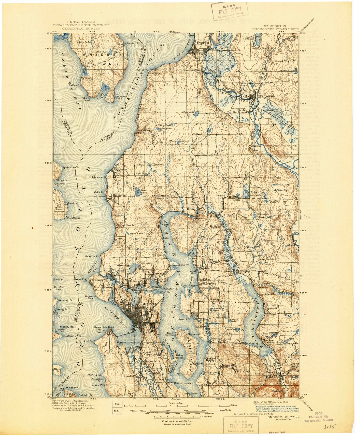
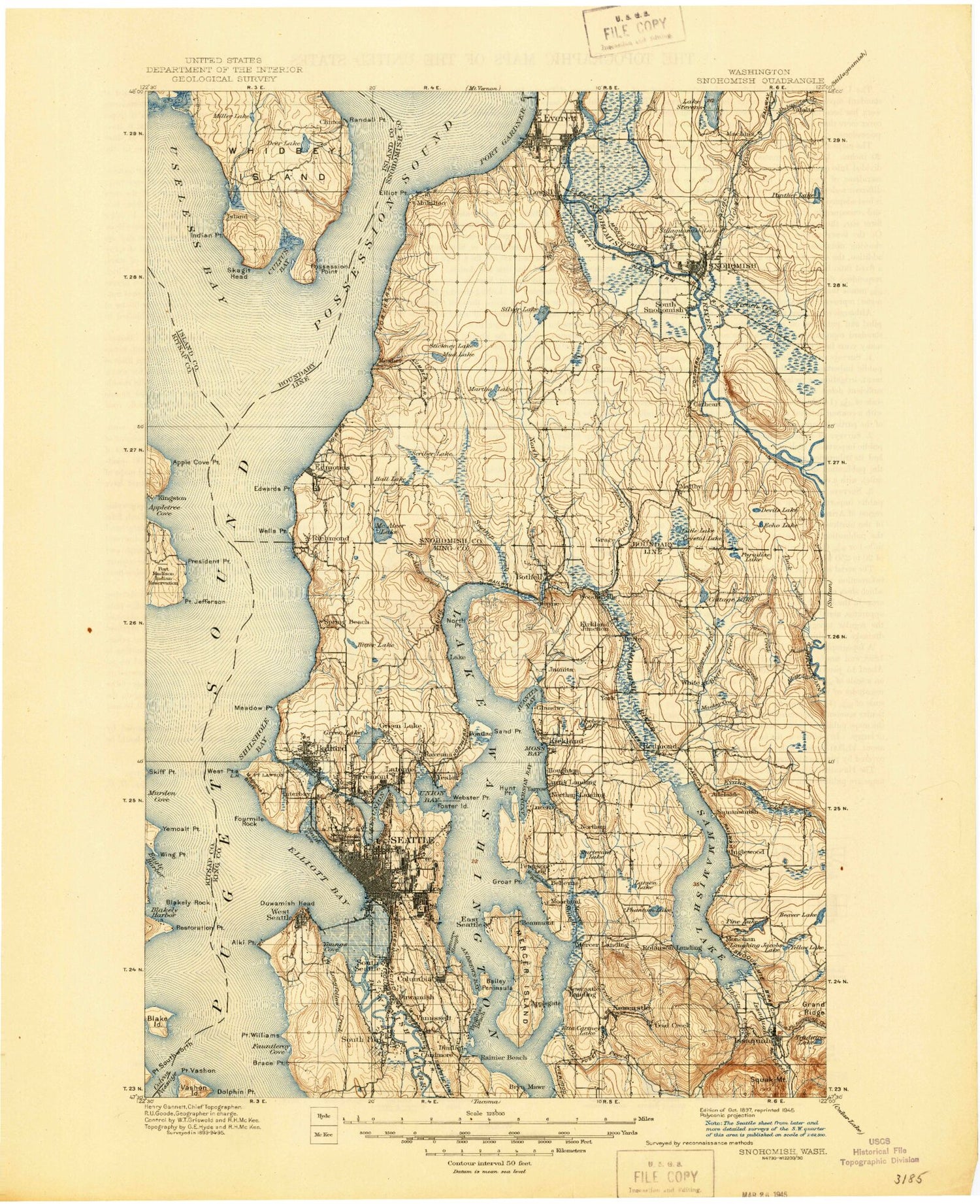
Historic 1897 Snohomish Washington 30'x30' Topo Map
Couldn't load pickup availability
Historical USGS topographic map of Snohomish in the state of Washington. Scale: 1:125000. Print size: 18" x 24"
This map was published in 1897 and is in the following counties: Island, King, Kitsap, Snohomish.
The map contains contour lines, roads, rivers, towns, streams, and lakes. Printed on high-quality waterproof paper with UV fade-resistant inks.
Contains the following named places: Alki Beach, Anderson Creek, Apple Cove Point, Appletree Cove, Atlantic City Park, Bagshaw Field, Bailey Peninsula, Bald Hill, Ballard Playground, Barnabie Point, Batt Slough, Battery Street Subway, Bayview Playground, Bear Creek, Bear Creek, Lake Beecher, Beverly Park, Big Gulch, Bitter Lake, Blake Island, Blakely Harbor, Blakely Rock Light, Boeing Creek, Lake Boren, Brace Point, Brighton Beach, Browns Bay, Calkins Point, Canal Entrance Light, Carkeek Park, Champaign Point, Chase Lake, Clark Park, Clyde Hill, Coal Creek, Coleman Point, Colman Park, Columbia Park, Cottage Lake, Cottage Lake Creek, Cultus Bay, Dabney Point, Dahl Park, Daniels Creek, Dave Mackie County Park, Deadman Slough, Deadwater Slough, Dearborn Park, Deer Creek, Deer Lagoon, Deer Lake, Denny Park, Devils Lake, Dolphin Point, Duwamish East Waterway, Duwamish Head, Duwamish River, Duwamish Waterway, Duwamish West Waterway, East Channel, Ebey Island, Echo Lake, Echo Lake, Edwards Point, Elliot Point, Elliott Bay, Elliott Creek, Evans Creek, Evans Creek, Fairweather Bay, Fauntleroy Cove, Ferguson Park, Fiddlers Bluff, Forbes Lake, Forest Park, Foster Island, Fourmile Rock, Foy, Frink Park, Froula Park, Gilman Playground, Gold Creek County Park, Greenwood Point, Hall Creek, Hall Lake, Haller Lake, Hanson Slough, Harbor Island, Hilton Lake, Indian Point, Interlaken Park, Island Crest Park, Juanita Bay, Juanita Point, Kenmore Air Harbor, King County Park, King Street Station, Kings Garden, Kirkland Reservoir, Lake Washington Ship Canal, Larimer Creek, Larsen Lake, Laurelhurst Park, Lake Leota, Lincoln Park, Lincoln Park, Little Lake, Lord Hill, Loyal Heights Playground, Lunds Gulch, Lyon Creek, Madrona Park, Magnolia Bluff, Magnolia Park, Magnolia Playground, Marshland School, Martha Lake, Matthews Beach, May Creek, McAleer Creek, Meadow Brook Park, Meadow Point, Mercer Island, Mercer Slough, Merrill and Ring Creek, Meydenbauer Bay, Miller Lake, Montlake Playground, Moss Bay, Mukilteo State Park, Murphys Corner, Nelson Point, Norma Beach, North Acres Park, North Creek, North Creek School, North Fork Issaquah Creek, Arrowhead Point, North Tower Center Light, Northgate Shopping Center, Ohlers Island, Oskams Corner, Panther Creek, Panther Lake, Paradise Lake, Paradise Valley, Penny Creek, Phantom Lake, Picnic Point, Pier 90, Pier 91, Pigeon Creek, Pine Lake, Pine Ridge Park, Pinehurst Playground, Playland, Pleasant View Ranch, Point Jefferson, Point Southworth, Point Vashon, Point Wells, Pontiac Bay, Port Gardner, Portage Bay, Possession Point, Possession Sound, Powder Mill Gulch, President Point, Pritchett Island Beach, Puget Park, Puget Sound, Randall Point, Ravenna Park, Restoration Point, Ricci Creek, Richmond Recreation Center, Riverdale Park, Rogers Park, Ronald Bog, Ruggs Lake, Salmon Bay, Salmon Bay Park, Sammamish, Sammamish River, Scatchet Head, Schmitz Park, Scott Creek, Scriber Lake, Seidel Creek, Seward Park, Shadow Lake, Shell Creek, Shelleberger Creek, Shilshole Bay, Silver Lake, Skiff Point, Sky Meadow Ranch, Smith Cove, Smith Cove Waterway, Snyders Corner, South Point, South Tower Center Light, Spencer Island, Sportsman Park, Squawk Slough, Stitch Lake, Struve Creek, Swamp Creek, Swan Trail Slough, Thomas Creek, Thomas Lake, Thornton Creek, Three Lakes, Tibbetts Creek, Totem Lake, Union Bay, Union Depot, Lake Union, Useless Bay, View Ridge Park, Volunteer Park, Washington Park, Weber Point, Webster Point, West Point, West Point Light, Windermere Park, Wing Point, Wolf Bay, Wood Creek, Yarrow Bay, Yarrow Point, Yellow Lake, Yeomalt Point, May Creek, Venema Creek


