MyTopo
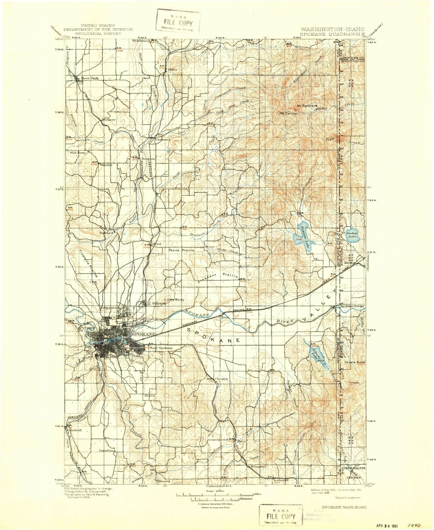
Historic 1901 Spokane Washington 30'x30' Topo Map
Couldn't load pickup availability
Historical USGS topographic map of Spokane in the state of Washington. Scale: 1:125000. Print size: 18" x 24"
This map was published in 1901 and is in the following counties: Bonner, Kootenai, Spokane.
The map contains contour lines, roads, rivers, towns, streams, and lakes. Printed on high-quality waterproof paper with UV fade-resistant inks.
Contains the following named places: Cable Creek, Liberty Creek, West Lake Creek, Ragged Mountain, Shaw Creek, Antoine Peak, Antoine Plante Ferry Site Park, Audubon Park, Audubon Playground, Bailey Lake, Balfour Park, Bass Point, Bear Lake, Big Meadows, Big Rock, Bigelow Gulch, Blanchard Hump, Bowl and Pitcher, Bowl and Pitcher Park, Brickel Creek, Browne Mountain, Burping Brook, Byrne Park, Cable Creek, California Creek, Camp Caro, Camp Fosseen, Camp Sekani, Canfield Gulch, Cannon Hill Park, Cannon Playground, Carlson Hill, Cherokee Bay, Chester, Chester Creek, Chief Garry Park, Chief Spokane Monument, Circle Bar J Boys Ranch, Clark Playfield, Cliff Park, Coeur D'Alene Park, Comstock Park, Cooks Cabin, Corbin House, Corbin Park, Cottonwood Creek, Courtland Playground, Cowley Park, Dart Hill, Dartford Creek, Dead Mans Lake, Deadman Creek, Deer Creek, Dishman Hills Natural Area, Downriver Park, Dragoon Creek State Park, Dry Creek, Duncan Gardens, East Side Youth Center, Edgecliff Park, Finch Arboretum, Fivemile Prairie, Foothills, Fothills, Franklin Park, Garden Springs Creek, Glass Playfield, Glenrose Prairie, Gloven Field, Grant Playground, Green Bluff, Greenacres, Half Moon Prairie, Hampton Bay, Hangman Creek, Hangman Valley, Harmon Field, Harvard Park, Havermale Island, Hay Ridge, Hays Park, Hells Hole, High Bridge Park, High Drive Parkway, Holmberg Park, Homestead Campground, Honeymoon Bay, Horse Mountain, Huston Creek, Immaculate Heart Retreat, Indian Canyon, Indian Canyon Park, Indian Trail Park, Indian Treaty Tree, Interstate Fairgrounds, Jim Hill Park, Kehn Picnic Area, Mount Kit Carson, Knox Park, Kramer Hill, Liberty Lake, Liberty Lake, Liberty Lake Regional Park, Liberty Park, Lincoln Park, Linder Ridge, Linwood Park, Little Baldy, Little Deep Creek, Little Deer Creek, Little Trout Lake, Lockhart Hill, Manito Park, Manito Playground, McCabe Creek, McKay Hill, Mica Peak, Milan Hill, Millwood Park, Minnehaha Park, Minnie Creek, Mission Park, Missouri Ridge, Moran Prairie, Morgan Acres Park, Morning Star Ranch, Morrow Park, Mount Saint Charles Ranch, Mount Spokane Fire Station, Mount Spokane State Park, Mount Vista Park, Mud Creek, Mullan Military Road Historical Monument, Muzzy Bay, Myrtle Point, Nevada Park, North Fork Blanchard Creek, North Fork Little Deep Creek, Olson Creek, Orchard Bluff, Orchard Prairie, Owens Lake, Peaceful Valley, Pease Hill, Pell Creek, Peone Creek, Peone Creek Park, Peone Prairie, Pine River Park, Pioneer Park, Pleasant Prairie, Quinnamose Creek, Rattlesnake Hill, Rochester Heights Park, Rosa Butte, Ross Creek, Ruth Park, Saltese Creek, Saltese Flats, Schackle Creek, Shadle Park, Shadow Bay, Sheets Creek, Shelley Lake, Silver Hill, Smith Gap, South Fork Deadman Creek, South Fork Little Deep Creek, Spangle Creek, Spokane Bridge, Spokane Falls, Spokane Industrial Park, Spokane Valley, Stevens Creek, Sullivan Park, Sunburst Park, Sutton Bay, Terrace View Park, Thompson Creek, Three Rocks, Turpentine Hollow, Underhill Playground, Valley Mission Park, Valley Prairie, Valleyford County Park, Wayside, Webster Park, Wethey Creek, White Park, Whittier Playground, Marshall, Spokane State Fish Hatchery, Day Mountain, Litter Creek, Austin, Buckeye, Denison, Duncan, Glenrose, Hamann Corner, Hutton Settlement, Manito, Peone, T Bridge Corner, Velox, Vera, Yardley, Aturdee, Newman Lake, Irwin, Apple Center, Carders, Cowles, Commellini Junction, Dean, Esperance, Excelsior, Flora, Hillby, Kiesling, Mountview, Moran, Milan, Morgan Acres, Trentwood, Willow Springs, Wild Rose, Wayside, Overlook, Palisades Park, Parkview, Piedmont, Pantops, Spokane River Canal, Sullivan, Spear


