MyTopo
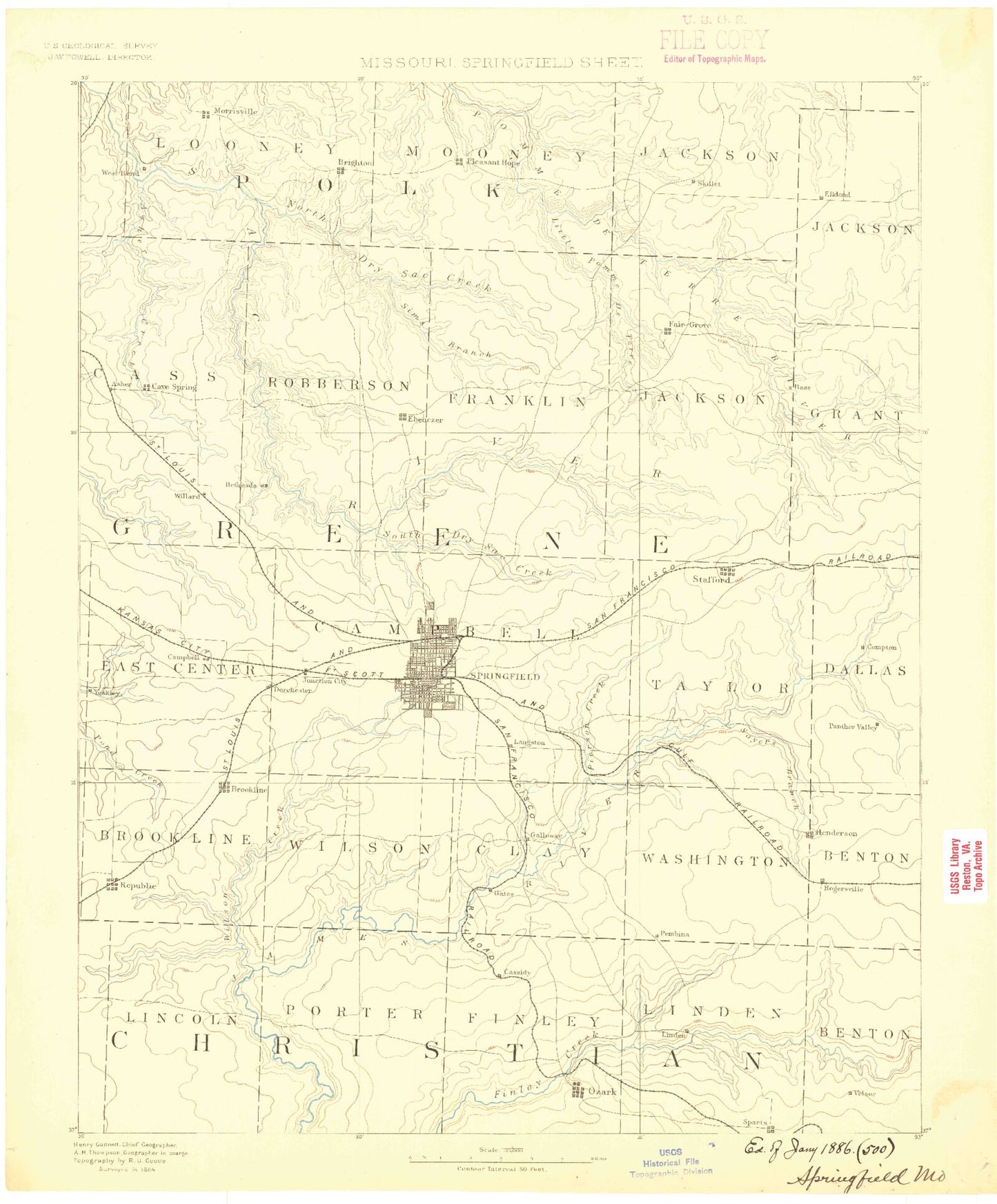
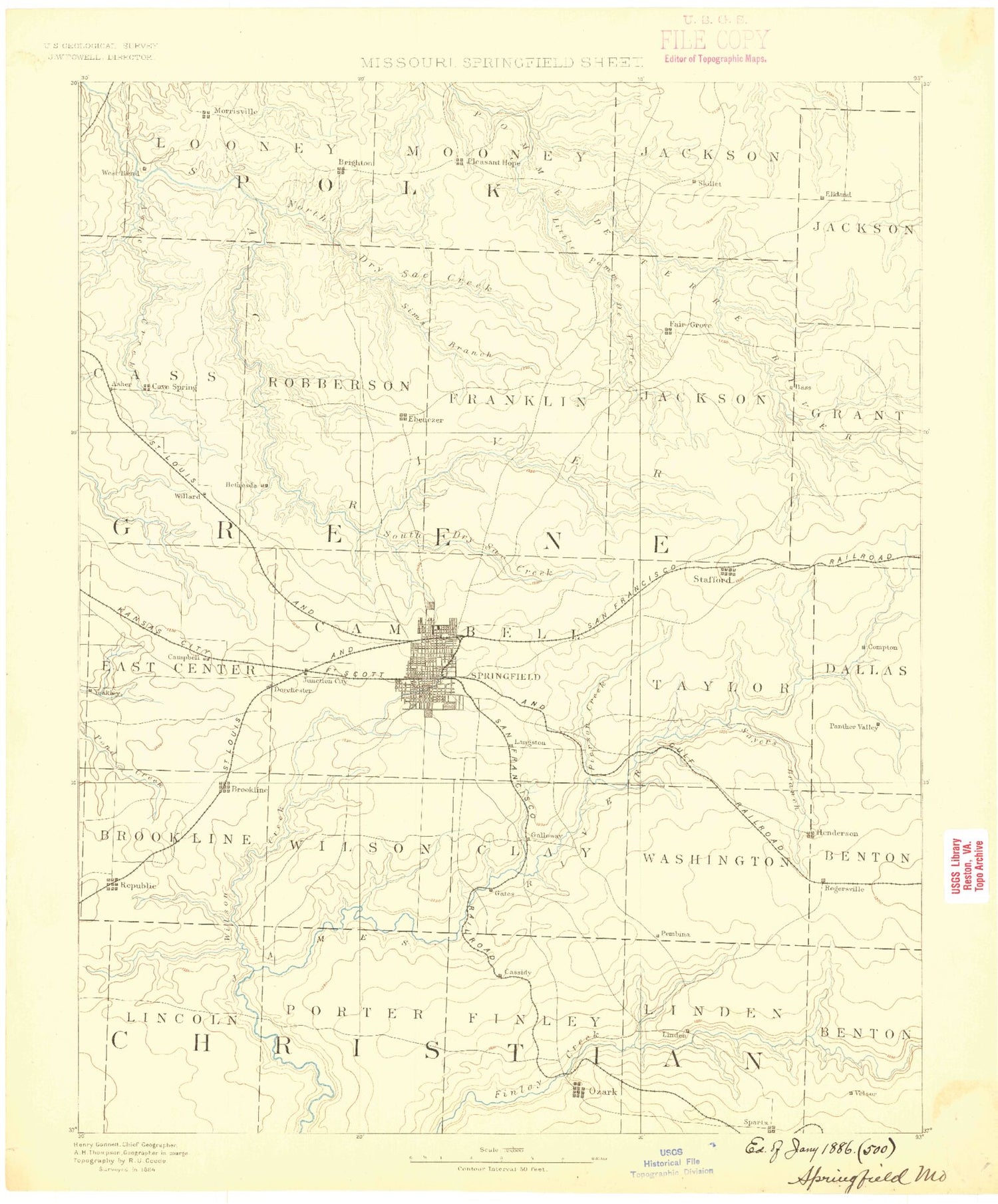
Historic 1884 Springfield Missouri 30'x30' Topo Map
Couldn't load pickup availability
Historical USGS topographic map of Springfield in the state of Missouri. Scale: 1:125000. Print size: 17" x 24"
This map was published in 1884 and is in the following counties: Christian, Dallas, Greene, Polk, Webster.
The map contains contour lines, roads, rivers, towns, streams, and lakes. Printed on high-quality waterproof paper with UV fade-resistant inks.
Contains the following named places: Asher Creek, Avin Sink, Bassville, Battlefield, Bear Creek, Big Hollow, Big Hollow, Big Hollow, Bishop Hollow, Blue Hole, Boaz, Brewster Park, Brighton, Broad Creek, Browns Branch, Caddo, Camp Finbrook, Canyon Hollow, Carr Park, Carter Hollow, Cave Hollow, Clear Creek Park, Clever, Coates Branch, Cody, Compton Branch, Davis Creek, Devils Den, Dickerson Park, Doling Park, Dry Fork, Durst Park, Ebenezer, Elkland, Fair Grove, Fair Grove Mound, Farmer Branch, Fassnight Creek, Fassnight Park, Flint Hill Branch, Fruitland, Fulbright Spring Park, Galloway, Garrison Branch, Glenwood Park, Glidewell, Good Samaritan Ranch, Goodnight Knob, Grant Beach Park, Grant Park, Green Valley Creek, Grier Branch, Grisham Knob, Happy Hollow Camp, Headlee Woods, Henderson, Henley Knob, Hickory Barren, Hinkle Branch, Horse Creek, Hunt Branch, Jarrett Branch, Johnson Hollow, Jones Branch, Jordan Creek, Lafayette Park, Langston, Lindenlure Lake, Little Pomme de Terre River, Locust Prairie Community Center, Lucas Knob, Luce Creek, McCracken, McElhaney Branch, Meador Park, Mentor, Millan Hollow, Mooney Hollow, Mount Pleasant Branch, Mutton Hollow, Nichols Park, Nixa, Norman Branch, North Carolina Creek, North Dry Sac River, North Fork Pomme de Terre River, Oak Grove Heights, Ozark, Panther Creek, Parched Corn Hollow, Park Central Square, Pea Ridge Creek, Peck Hollow, Peck Ridge, Pedelo Ridge, Phelps Grove Park, Polk Spring Branch, Rainer Branch, Ray House, Republic, Richwood Branch, Ritter, Ritter Springs Park, Rogersville, Sanford Park, Saunders Valley, Sayers Creek, Selph Branch, Sequiota, Sequiota Park, Sheltering Heights Camp, Shuyler Creek, Sims Branch, Slagle Creek, Smith Park, South Creek, South Dry Sac River, South Fork Pomme de Terre River, Spout Spring Hollow, Spring Branch, Spring Creek, Lake Springfield, Stever Branch, Strafford, Terrell Creek, Tinkle Branch, Tom Watkins Park, Turkey Hollow, Turner Creek, Valley Water Mills, Ward Branch, Washington Park, Westport Park, Willow Pond, Workman Branch, White Oak Hollow, Hackney, Avalon Park, Mumford, Goodnight, Parched Corn Creek, High Prairie, Brookline, Cave Spring, Elwood, Haseltine, Linden, Little Wilson Creek, Morrisville, Nichols, Pearl, Pedelo Creek, Pleasant Hope, Springfield, Tin Town, Turners, Willard, Wilsons Creek, Wilson's Creek National Battlefield, Brown Branch, Dickerson Branch, Doling Branch, East Branch Galloway Creek, East Fork Doling Branch, East Fork Spring Branch, Galloway Creek, Haseltine Branch, Junction Branch, Mill Creek, Nichols Branch, North Branch Jordan Creek, North Branch Wilsons Creek, North Fork Nichols Branch, North Fork Pea Ridge Creek, North Fork Ward Branch, Packer Branch, Rountree Branch, Sander Branch, Sanford Branch, Sequiota Spring Branch, South Branch Jordan Creek, South Branch South Creek, South Fork Nichols Branch, South Fork Pea Ridge Creek, South Fork Ward Branch, West Branch Galloway Creek, West Fork Doling Branch, West Fork Spring Branch, Westport Branch, Bloody Hill, Lyon Marker, Gibson Oatfield, Ray Cornfield, Ray Orchard, Totten's Battery, Du Bois Battery, Pulaski Arkansas Battery, Guibors Battery, Sigel's Final Position, Sigel's First Position, Sigel's Second Position, Grandview Branch, Mustard Branch, Thompson Creek, Red Top, Nogo, Pleasant Valley, Prater Branch, North View Hill, Griffin, Mascot, Roseville, Abbott, Expansion, Dublin, Riverpark, Guin, Lon, All, Dickersons, Hedges Spur, Cowan, Heady, Alsup, Pembina, South Junction, Chadwick Junction, Cassidy, Conklin, Cross Way, Holman, Kissick, Palmetto, Rock Prairie, Sacville, Terrell


