MyTopo
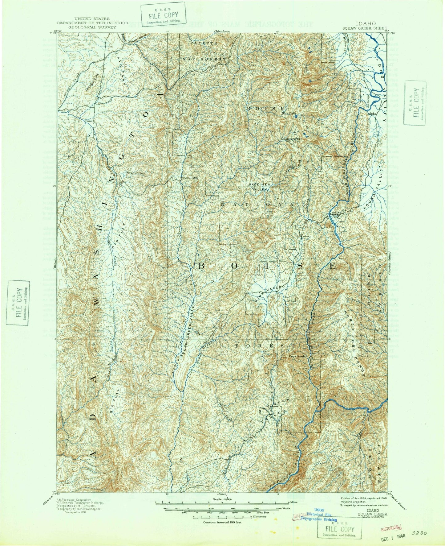
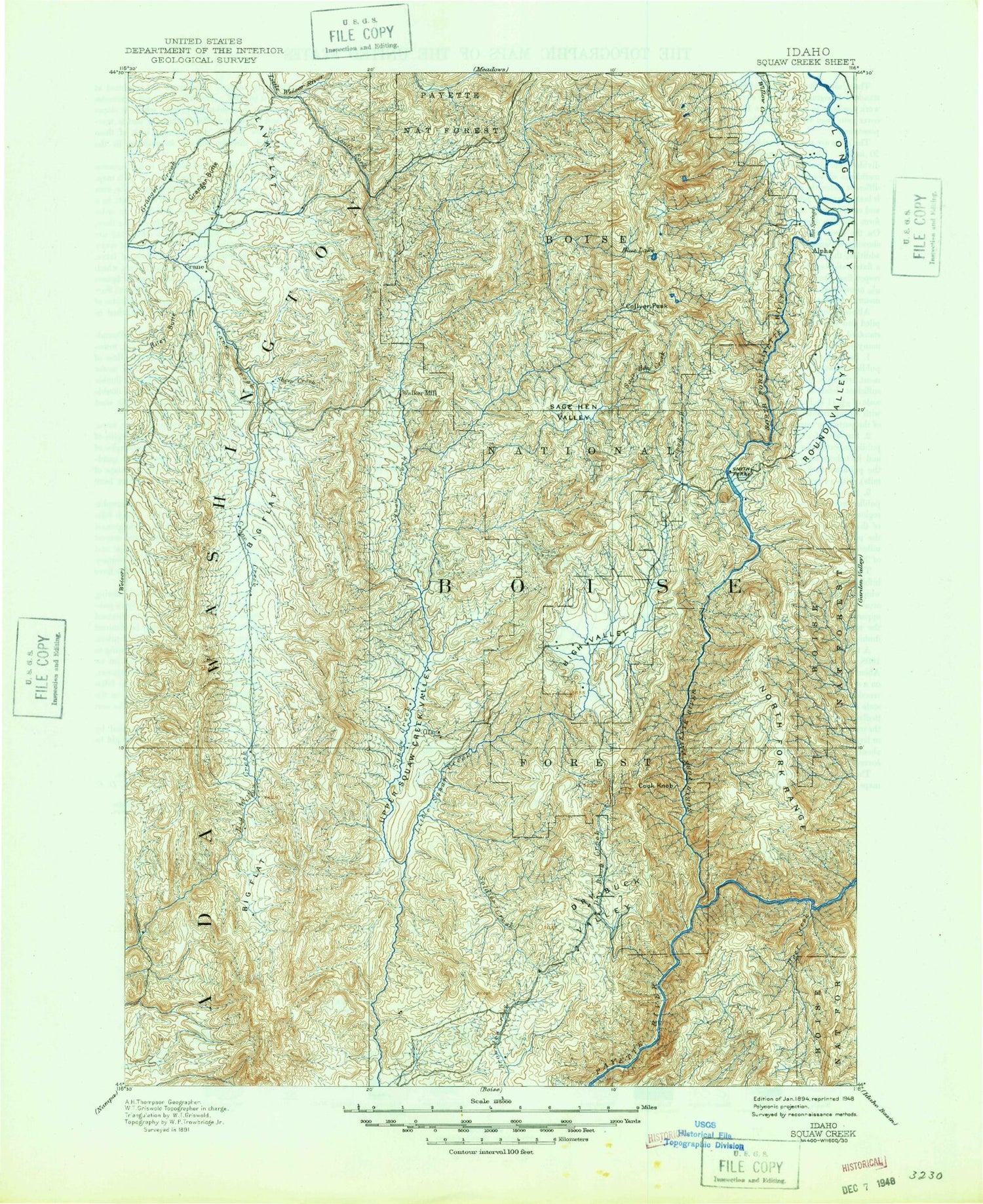
Historic 1894 Squaw Creek Idaho 30'x30' Topo Map
Couldn't load pickup availability
Historical USGS topographic map of Squaw Creek in the state of Idaho. Scale: 1:125000. Print size: 17" x 24"
This map was published in 1894 and is in the following counties: Adams, Boise, Gem, Payette, Valley, Washington.
The map contains contour lines, roads, rivers, towns, streams, and lakes. Printed on high-quality waterproof paper with UV fade-resistant inks.
Contains the following named places: Bedrock Flat, Big Cottonwood Creek, Brush Creek, Butte Ranch, Cherry Gulch, Cold Spring Canyon, Coonrod Basin, Coonrod Gulch, Davis Canyon, Dyes Gulch, Fourmile Creek, Fourmile Creek, Indian Jakes, Jackson Creek, Jakes Creek, Lava Flat, Liberty Mine, Little Cottonwood Creek, Rattlesnake Creek, Riley Butte, Sixmile Creek, Squaw Butte, Swamp Creek, Tennison Ridge, Timber Creek, Webb Creek, Wilson Mountain Trail, Antelope Creek, Antelope Swale, Antelope Trail, Bacon Creek, Bear Creek, Bear Gulch, Beech Lake, Bent Creek, Big Creek, Blow Snake Gulch, Blue Lake, Blue Lake Trail, Bogus Creek, Boulder Creek, Brownlee, Brush Creek, Buck Canyon, Buck Canyon Trail, Bull Gulch, Cabin Creek, Camp Creek, Carson Gulch, Chipps Creek, Clear Creek, Cold Spring Creek, Collier Peak, Corral Creek, Cottonwood Creek, Cottonwood Creek, Currin Gulch, Dead Horse Creek, Deer Creek, Division D Stock Trail, Dodson Pass, Dry Buck Creek, Dry Buck Meadow, Dry Buck Mountain, Dry Buck School, Dry Buck Valley, Fawn Creek, Fir Gulch, Fir Gulch, Fir Tree Gulch, Fleming Creek, Fletcher Butte, Four Bit Spur, Gabes Bathtub, Gabes Peak, Gold Run Creek, Granite Peak, Grassy Flat, Greenfield Flat, Grizzly Creek, Hangman Tree, Havord Creek, Hidden Lake, High Valley, High Valley Ranger Station, High Valley School, Hog Creek, Howell Creek, Joes Creek, Kennedy Creek, Kimball Creek, Kimball Gulch, Lava Gulch, Left Fork Scriver Creek, Little Sage Hen Basin, Little Squaw Creek, Lone Pine Lake, Long Pine Creek, Long Valley, Lost Lake, Low Pass, Lower Alpha School, Mesa Creek, Middle Creek, Middle Fork Payette River, Middle Fork Scriver Creek, Middle Fork Soldier Creek, Mill Creek, Mill Creek Summit, Moores Creek, Mud Lake, Muir Creek, Murray Creek, North Fork Brownlee Creek, North Fork Little Squaw Creek, North Fork Payette River, North Fork Soldier Creek, Olson Creek, Padget Creek, Pearsol Creek, Peterson Creek, Phillips Creek, Pine Creek, Pine Creek Meadow, Poison Creek, Pole Creek, Potters Pond, Raft Lake, Rammage Meadows, Rat Creek, Renwyck Creek, Road Gulch, Round Valley, Round Valley Creek, Sage Hen Basin, Sage Hen Basin Trail, Salmon Gulch, Second Fork Squaw Creek, Shirts Creek, Shirts Lake, Smith Gulch, Snowbank Mountain, Soldier Creek, South Fork Murray Creek, South Fork Payette River, South Fork Tripod Creek, Spring Creek, Stewarts Meadow, Sucker Creek, Tamarack Flat, Telephone Trail, Third Fork Guard Station, Third Fork Project Camp, Third Fork Ridge, Third Fork Squaw Creek, Thron Gulch, Timber Butte, Timber Flat Creek, Timber Gulch, Tree Spring Mountain, Tripod Creek, Tripod Meadow, Vaughan Gulch, West Mountain Trail, Whitlock Gulch, Williams Creek, Willmathe Gulch, Willow Creek, Willow Ridge, Wilson Corrals Trail, Wilson Creek Trail, Wilson Meadows, Wilson Peak, Woodard Gulch, Woody Creek, Woody Creek Trail, Zimmer Creek, Ola, Campbell Creek Recreation Site, Big Eddy Campground, Cold Springs Campground, Campbell Creek Trail, Antelope Campground, Canyon Campground, Swinging Bridge Campground, Renwyck Trail, Banks Campground, Hollywood Point Campground, Eastside Campground, Sage Hen Campground, Bed Ground Creek, FAA Radar Site, Gabes Peak Trail, Tripod Peak Lookout, Ola Summit, Pine Creek Meadow Trail, Mill Creek Ranger Station, Cabarton Station, Recompense Trail, Big Eddy Trail, Charters Mountain, Dry Buck Mountain Trail, Eddy Creek, Gem County, Hidden Creek, High Valley, Kimball Trail, Little Sage Hen Ridge Trail, Shirts Creek Trail, Alpha, Banks, Belvidere, Big Eddy, Cabarton, Dry Buck Summit, Four Bit Creek, Four Bit Summit, Friday Butte, Granger Butte, Gross, Hurdy Creek, Joes Butte, Shake Gulch, Buck Mountain, Cougar Mountain, Sheep Creek, South Fork Fawn Creek, Tripod Reservoir, Twin Sisters, West Mountains, Skein Lake Dam, Skein Lake, Tripod Dam, Holbrook Dam, Little Dam, Beal Number Three Dam


