MyTopo
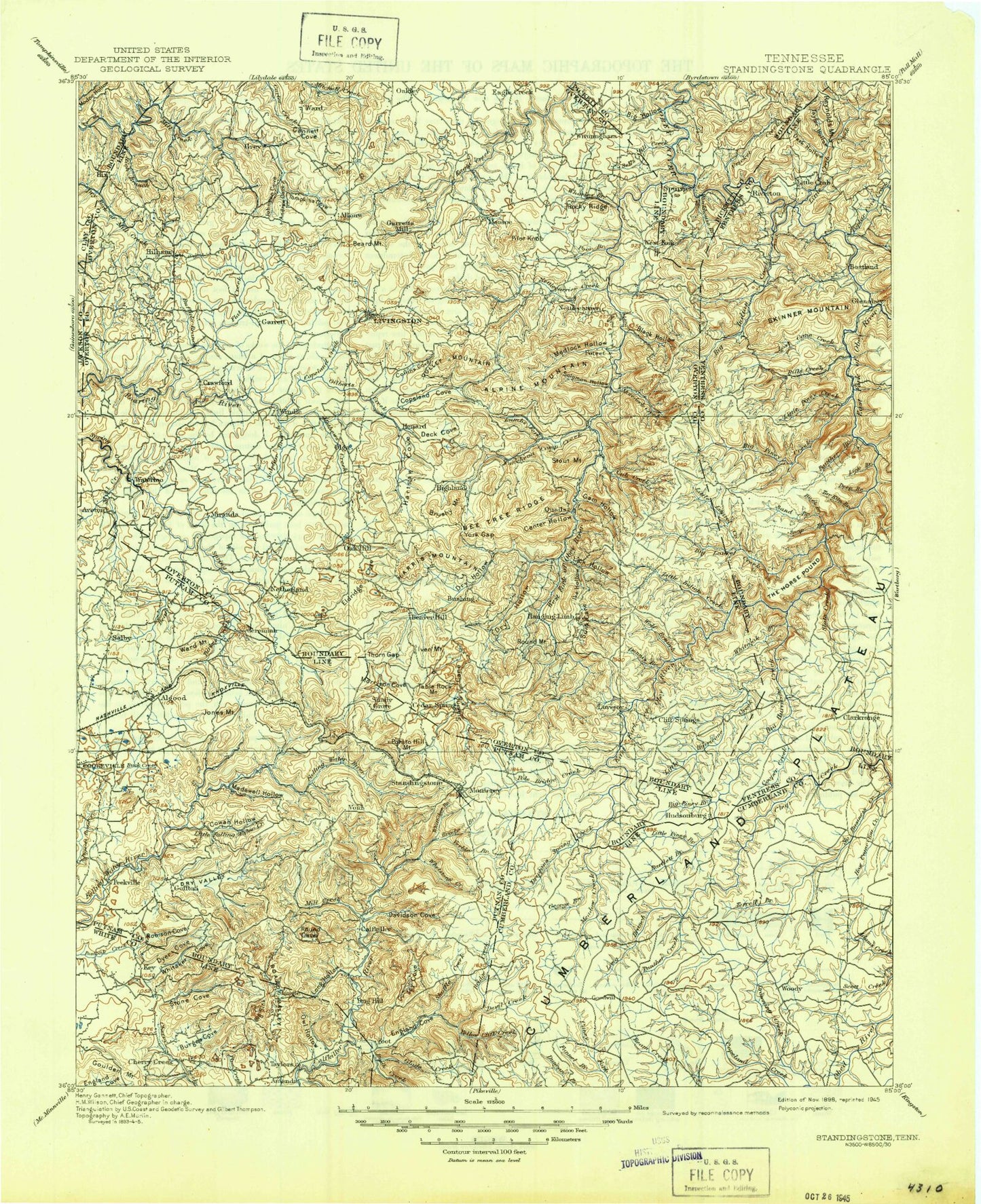
Historic 1898 Standing Stone Tennessee 30'x30' Topo Map
Couldn't load pickup availability
Historical USGS topographic map of Standing Stone in the state of Tennessee. Scale: 1:125000. Print size: 18" x 24"
This map was published in 1898 and is in the following counties: Clay, Cumberland, Fentress, Jackson, Overton, Pickett, Putnam, White.
The map contains contour lines, roads, rivers, towns, streams, and lakes. Printed on high-quality waterproof paper with UV fade-resistant inks.
Contains the following named places: Geer Cove, Buck Creek, Doe Creek, Glade Creek, Andrew Cove, Black Hollow, Brushy Mountain, Buffalo Cove Creek, Fairview, Lints Cove, Lost Cane Creek, Monterey Lake, Short Creek, Sisco Mountain, Skinner Mountain, Slate Creek, Snap Branch, Solomon Hollow, Stamps Hollow, Standing Stone State Rustic Park, Stephens Branch, Steward Fork, Stillhouse Rock, Stone Cove, Stout Mountain, Sulphur Branch, Sunk Cane Branch, Table Rock Mountain, Talent Hollow, Tater Hill, Tayes Hollow, The Cowpens, The Gooseneck, The Horse Pound, Thompson Flat, Thorn Gap, Threet Mountain, Timothy, Todd Hollow, Tompkins Cove, Turkey Creek, Turkey Hollow, Turkey Mountain, Twinton, Tyler Mountain, Unity, Verble Hollow, Verble Hollow, Verble Knobs, Verble Mountain, Vine Ridge, Walker Hollow, Walker Hollow, Wallace Branch, Welch Hollow, Whetstone Creek, Whiteoak Branch, Whiteoak Branch, Whiteoak Branch, Whittaker Cove, Whorley Branch, Wilder, Willet Mountain, Wilson Hollow, Wilson Mountain, Windletown, Wiser Hollow, Wolf Branch, Wolf Branch, Yellow Branch, Yellow Cliff Creek, York Gap, Zollicoffer Creek, Adkins Branch, Algood Mountain, Allons, Allred, Alpine, Alpine Mountain, Anderson, Austin Branch, Baker Branch, Balden Gulf, Barnes Hollow, Bear Branch, Bear Creek, Bear Creek, Bear Knob, Bee Rock, Bee Tree Ridge, Belle Acres Golf Club, Big Branch, Big Branch, Big Hill, Big Hollow Branch, Big Indian Creek, Big Laurel Creek, Big Piney Creek, Big Sink, Big Springs, Bill Branch, Bills Creek, Black Bottom, Blaylock Branch, Blaylock Mountain, Blue Hole Branch, Board Valley, Boles Branch, Branham Hollow, Bridge Creek, Brotherton, Bryans Fork, Buck Branch, Buck Lake, Buck Mountain, Buck Mountain, Buckner Hollow, Buffalo Branch, Bullpen Branch, Burchett Hollow, Burnett Mountain, Buzzards Roost, Camp Monterey, Camp Nakanawa, Caney Fork Creek, Cannon Hollow, Carroll Branch, Cat Hill, Cat Pen Hollow, Center Hollow, Charlie Branch, Chimney Springs Hollow, City Lake, Cleek Branch, Cobb Creek, Collins Cove, Cookeville Golf and Country Club, Cooper Mountain, Copeland Cove, Copeland Creek, Copeland Mountain, Cowan Branch, Cravenstown, Crawford, Crawford Hollow, Creston, Cricket Creek, Cub Creek, Cub Mountain, Daddy Ridge, Danner Branch, Dark Hollow, Davidson, Davidson Cove, Deck Cove, Deep Branch, Dennis Branch, Devil Creek, Dillon Pond, Double Top, Doubling Spur, Dripping Springs, Dripping Springs Creek, Drowning Creek, Dry Branch, Dry Creek, Dry Hollow, Dry Hollow Branch, Dry Valley, Eastport Dock, Egypt Knob, Eldridge Cove, England Cove, Flat Creek, Flat House Hollow, Flat Rock Siding, Flintrock Branch, Flower Mountain, Fond Branch, France Mountain, Funnel Branch, Funnel Rock, Furry Bend, Galer Branch, Gam Hollow, Garrison Branch, George Branch, Goffton, Goodpasture Mountain, Goose Neck, Gould Bend, Gould Creek, Gould Hollow, Goulden Mountain, Green Mountain, Green Pond Mountain, Guffy Branch, Gullet Mountain, Gum Branch, Gunter Mountain, Hall Cove, Hampton Mountain, Hanging Limb, Happy Hollow, Hardy, Harris Mountain, Hartsaw Cove, Highland, Highland, Hilham, Hog Wallow Ridge, Holly Springs, Honey Branch, Hood Hollow, Horn Hollow, How Come You Creek, Hunter Cove, Hunter Cove, Hunter Meadow, Hurricane Creek, Hurricane Creek, Hurricane Ridge, Icy Cove, Ike Hollow, Isoline, Jack Branch, Jackson Branch, Jake Hollow, Johnson Cove, Johnson Hollow, Johnson Mill Branch, Katy Hollow, Keeton Pond, Key, Key Hollow, King Mountain


