MyTopo
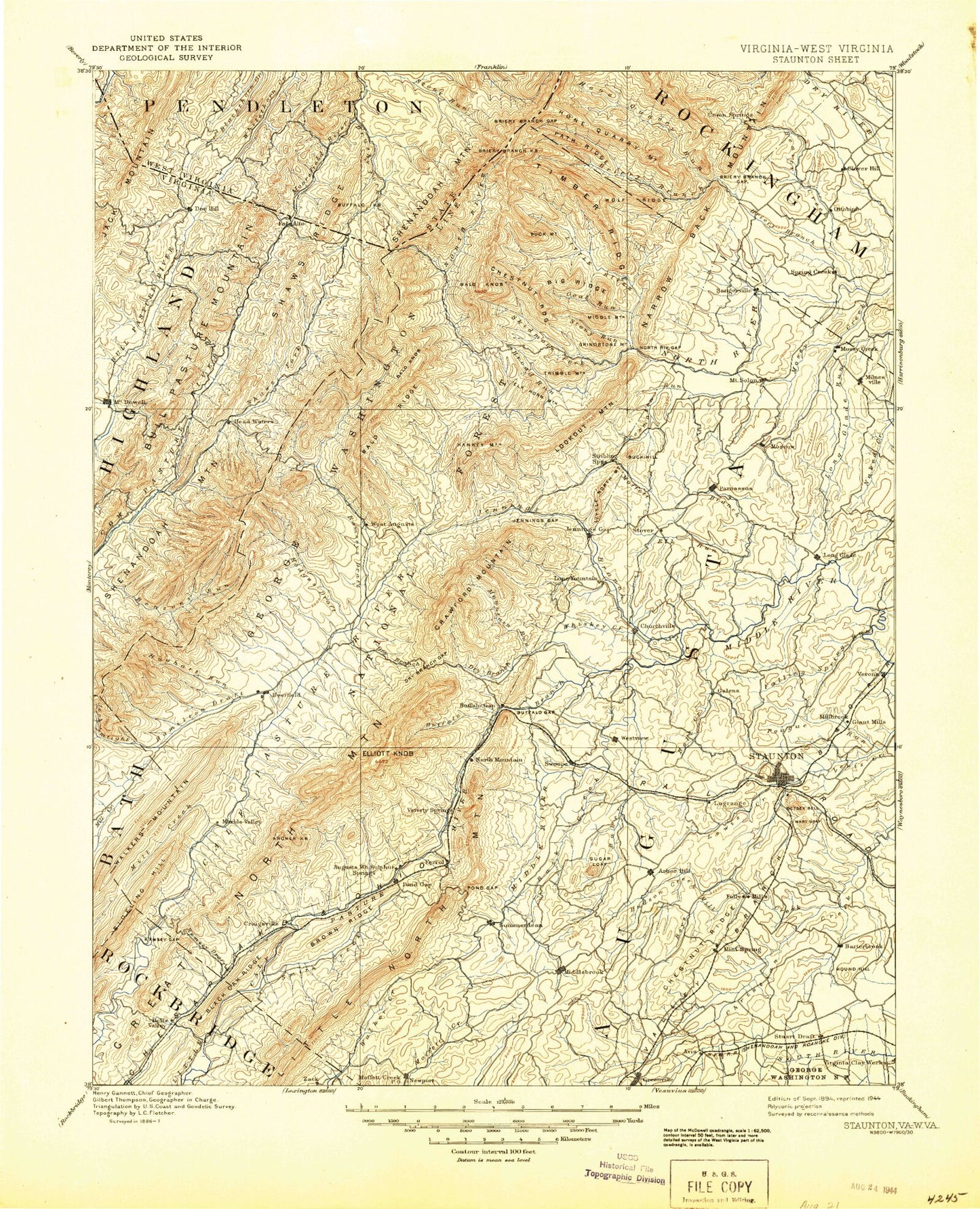
Historic 1894 Staunton Virginia 30'x30' Topo Map
Couldn't load pickup availability
Historical USGS topographic map of Staunton in the state of Virginia. Scale: 1:125000. Print size: 17" x 24"
This map was published in 1894 and is in the following counties: Augusta, Bath, Highland, Pendleton, Rockbridge, Rockingham, Staunton (city).
The map contains contour lines, roads, rivers, towns, streams, and lakes. Printed on high-quality waterproof paper with UV fade-resistant inks.
Contains the following named places: Falling Spring Run, Glade Valley, Locust Hollow, Massie Pond, Middlebrook, Mossy Creek, Natural Chimneys, Poague Run, Possum Hollow, Roaring Run, Sugarloaf, Thackers Hollow, Towers, Moscow, Gypsy Hill Park, Montgomery Hall Park, Wilson Park, Woodrow Wilson Birthplace, Augusta County, Alier Hollow, Allen Creek, Als Run, Archer Knob, Archer Run, Back Creek, Back Draft, Back Draft, Baker Draft, Bald Knob Trail, Bald Ridge, Barger Pond, Barn Lick Branch, Barterbrook Branch, Bear Draft, Bear Draft Trail, Beason Hollow, Beaver Creek, Bell Creek, Benson Run, Benson Run Trail, Big Hill, Big Hollow Trail, Big Ridge, Big Run, Black Gum Draft, Body Lick Branch, Botkin Hollow, Braley Branch, Bridge Hollow, Briery Branch, Briery Branch Dam, Briery Branch Gap, Briery Branch Overlook, Briery Draft, Broad Draft, Broad Hollow, Broad Run, Broadhead Creek, Broadway, Brown Ridge, Brushy Fork, Brushy Ridge, Buck Hill, Buck Mountain, Buck Mountain Trail, Buffalo Branch, Buffalo Knob, Byrd Gap, Byrd Spring Creek, Cabin Hollow, California Ridge, California Ridge Trail, Camp Flather, Camp Ridge, Camp Shenandoah, Camp Todd, Carroll Draft, Chair Draft, Chapin Draft, Charlie Lick Branch, Chestnut Lick Hollow, Chestnut Oak Knob, Chestnut Ridge, Chestnut Ridge, Chestnut Ridge, Chestnut Ridge Trail, Chimney Hollow, Chimney Hollow Trail, Chimney Hollow Trail, Christian, Church Hollow, Clayton Mill Creek, Clover Lick Hollow, Coal Run, Coalpit Knob, Coalpit Run, Coles Run, Corbett Branch, Cove Run, Crab Run, Craigsville Reservoir, Crawford Knob, Crawford Knob Trail, Crawford Mountain Trail, Daddy Run, Daggy Camp Hollow, Daniel Run, Davidson Creek, Deep Pond Run, Deerfield Valley, Devrick Hollow, Dividing Ridge, Dividing Ridge Trail, Dorsey Hollow, Double Lick, Dry Branch Gap, Dunkard Ridge, Dunlap Hollow, Earhart Creek, East Branch Dowells Draft, East Dry Branch, Eidson Creek, Elephant Creek, Elk Run, Elkhorn Mountain, Elliott Knob, Elliott Knob Trail, Elliott Springs Run, Estaline Furnace, Estaline Valley, Fall Branch, Falling Rock Creek, Falls Hollow, Falls Hollow, Fanny Hollow, Farrow Hollow, Ferris Hollow, Fish Hollow, Flat Run, Folly Mills Creek, Fox Hollow, Fox Ridge, Frames Draft, Freemason Run, Freezland Flat, Freezland Hollow, Fridley Branch, Fridley Cove, Georgia Camp Hollow, Glover Run, Goose Creek, Gordons Peak, Grassy Field Hollow, Grassy Run, Grindstone Mountain, Grooms Ridge, Grooms Ridge Trail, Gum Corner Hollow, Gum Lick Hollow, Guy Hollow, Gwin Mountain, Halfmoon Gap, Hamilton Branch, Hamilton Draft, Hankey Mountain, Hankey Mountain Trail, Hardscrabble Knob, Harris Hollow, Hattons Pond, Haycock Knob, Haywood Hollow, Head Waters, Hearthstone Ridge, Hickory Log Hollow, Hiner Hollow, Hite Hollow, Hodges Draft, Hog Run, Hogback, Holloway Draft, Hone Quarry Dam, Hone Quarry Recreation Site, Hone Quarry Ridge, Hone Quarry Ridge Trail, Hone Quarry Run, Hoop Hole Hollow, Horse Trough Hollow, Horsehole Hollow, Huffman Hollow, Hughart Run, Ingram Draft, Jeff Run, Jehu Hollow, Jennings Branch, Jennings Gap, Jenny Gwin Draft, Jerkemtight Branch, Jerry Hollow, Jerrys Run, Jerrys Run Trail, Jim Hollow, John Hollow, Johns Run, Johnson Draft, Jonas Draft, Jones Trail, Kennedy Draft, Kings Gap, Kirtz Hollow, Kiser Hollow, La Grange, Laurel Branch, Lead-Off Ridge, Left Fork Tims Draft, Left Prong Benson Run, Left Prong Ramseys Draft, Leslie Lick Hollow, Lick Run, Liptrap Run, Little Bald Knob, Little North Mountain, Little North Mountain Trail, Little North Mountain Wildlife Management Ar, Little River, Little River, Little Shingle Run, Little Skidmore Fork, Little Skidmore Trail, Littlefield Ridge, Locust Fork, Lone Fountain, Lookout Mountain, Lookout Mountain Trail, Loves Run, Lower Mountain Lick, Lynn Hollow