MyTopo
Historic 1886 Stockton Missouri 30'x30' Topo Map
Couldn't load pickup availability
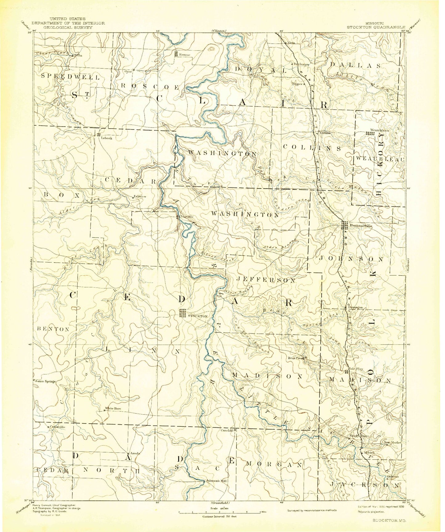
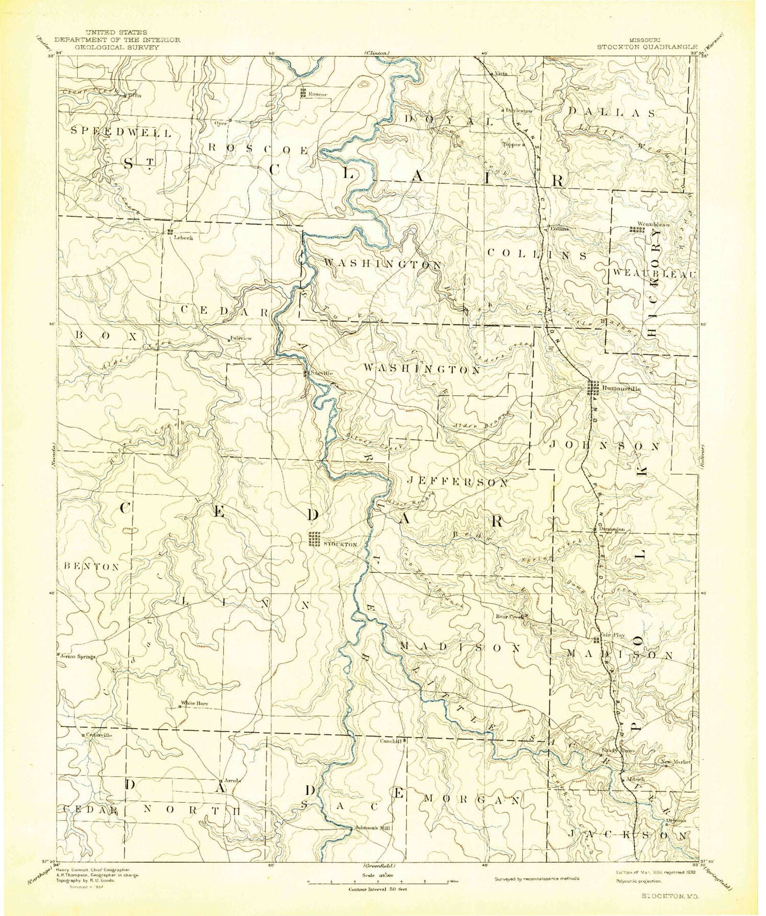
Historical USGS topographic map of Stockton in the state of Missouri. Scale: 1:125000. Print size: 17" x 24"
This map was published in 1886 and is in the following counties: Cedar, Dade, Hickory, Polk, St. Clair.
The map contains contour lines, roads, rivers, towns, streams, and lakes. Printed on high-quality waterproof paper with UV fade-resistant inks.
Contains the following named places: Adams Branch, Alder Branch, Aldrich, Aves Creek, Bald Hill, Barren Creek, Bear Creek, Bear Creek Quarry, Big Branch, Big Branch, Birch Branch, Blair Bluff, Bland Hollow, Blue Branch, Boston Bluff, Boston Branch, Buckfoot Branch, Bungalow Hill, Campbell Branch, Cane Hill, Carlo Hollow, Carmack Branch, Cave Hill, Cedar Bluff, Cedar Bluff, Cedar Bluff, Cedar Creek, Chapel Hill, Cherry Branch, Church Hollow, Claud, Coal Bank Hills, Coffman Branch, Conner Branch, Cothwell Branch, Cow Ford Hollow, Crabtree Branch, Downs Bluff, Edge Branch, English Branch, Filley, Flemington, Flood Branch, Ford Branch, Googer Creek, Goose Creek, Gravel Bluff, Greaser Creek, Hartley Branch, Hawker Branch, Horse Creek, Horseshoe Bend, Humansville, Hyder Hill, Indian Hill, Indian Ridge, Jump Off Creek, Keith Island, Keller Branch, King Branch, King Hill, Knothead Hill, Leila Store, Little Turkey Creek, Marshall Branch, Masters, Masters Island, Maybee Branch, Mayes Hill, Mill Bluff, Miller Branch, Montgomery Lake, Moore Bluff, Moore Branch, Mutton Creek, Omer Branch, Pea Ridge Hollow, Perkins Bluff, Polecat Creek, Price Branch, Pyle Branch, Ritchson Hollow, Ruark Bluff, Rutledge Bluff, Rule Creek, Sadler Branch, Scott Hill, Silver Creek, Smith Bluff, Snag Branch, Sons Creek, Sorters Bluff, South Fork Brush Creek, South Fork Turkey Creek, Spring Hollow, Stinking Creek, Stockton Branch, Teague Branch, The Mound, Tommy Bluff, Tunnel Bluff, Turkey Creek, Turkey Knob, Umber, Wagoner, Walnut Creek, Wasson Bluff, Weaubleau, Whitley Hollow, Williams Store, Willowville, Woodlawn School, Younger Slough, Arcola, Arnica, Bearcreek, Bona, Caplinger Mills, Cedar Springs, Friendship Community Hall, Independence Community Hall, Lebeck, Little Sac River, Maze Creek, Omer, Stockton, Dunnegan, Fair Play, Spring Creek, Needmore, Hackleman Corner Lake, Graceland, Hamlet, Ivy, Rowland, Tingley, Forest Grove, Carns Ford, Coal Hill, Crisp, Glen Town, Hackleman Corner, Neola, Pacetown, Seybert, Mutton Creek Public Use Area, Hawker Point Public Use Area, Stockton State Park, Orleans Trail Public Use Area, Crabtree Cove Public Use Area, Stockton Public Use Area, Old Mill Public Use Area, Owens Mill, Pleasant View, Hartley, Filley Community Park, Alder Creek, Little Alder Creek, Allen Branch, Baker Branch, Bazzill Branch, Big Hollow, Birdsong, Bishop Branch, Boswell Bluff, Brush Creek, Buckhart Branch, Buzzard Bluff, Camp Creek, Cannon Branch, Cave Branch, Clear Creek, Clear Creek, Cobb, Cole Branch, Collins, Coon Creek, Coon Creek, Crooks Springs, East Branch Coon Creek, Eby Hill, Francis Lake, Gerster, Happy Hollow, Hardyville, Haynie Branch, Horseshoe Lake, Keel Bluff, Keeton Ridge, Ladden Branch, Little Clear Creek, Little Weaubleau Creek, Lone Rock, Lutz Bluff, Marland Hill, Metcalf Branch, Moore Branch, Osage Heights, Oyer, Oyer Hill, Panther Creek, Panther Den Hollow, Phillips Branch, Possum Hollow, Price Branch, Purcett Branch, Raney, Rattlesnake Branch, Rock Creek, Rock House Bluff, Rocky Hollow, Rookins, Roscoe, Round Prairie, Sandy Hollow, Shryers Bluff, South Fork Weaubleau Creek, Southwick Branch, Spangler Hill, Tanyard Branch, Tiffin, Tracy, Turkey Creek, Venter Bluff, Vilhauer Bluff, Vilhauer Branch, Vilhauer Hollow, Vista, West Branch Coon Creek, Windhouse Hollow, Wright Hollow, Yarnell Branch, Pape, New Oyer, Kings Prairie, Topper


