MyTopo
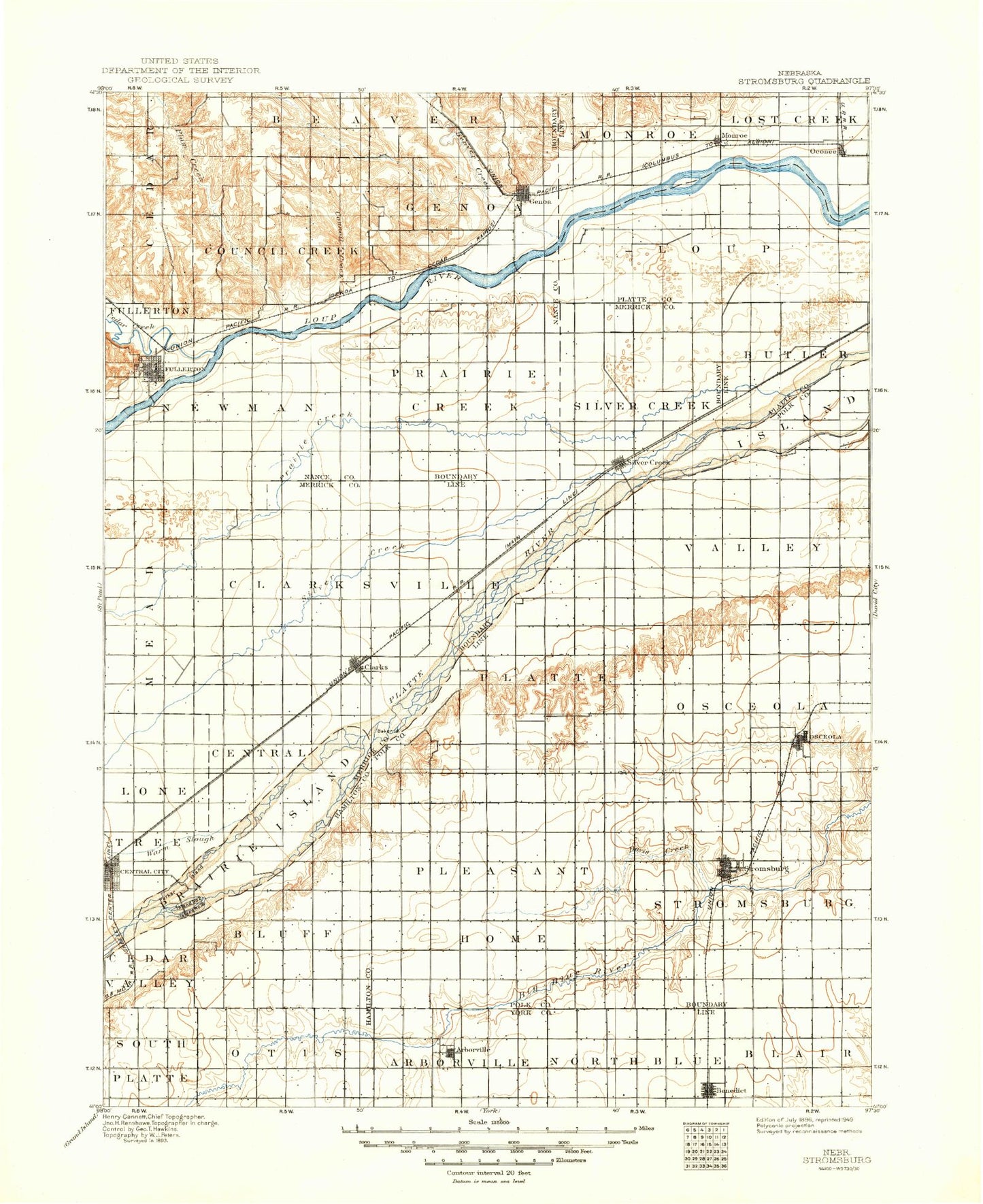
Historic 1896 Stromsburg Nebraska 30'x30' Topo Map
Couldn't load pickup availability
Historical USGS topographic map of Stromsburg in the state of Nebraska. Scale: 1:125000. Print size: 17" x 24"
This map was published in 1896 and is in the following counties: Hamilton, Merrick, Nance, Platte, Polk, York.
The map contains contour lines, roads, rivers, towns, streams, and lakes. Printed on high-quality waterproof paper with UV fade-resistant inks.
Contains the following named places: Ash Island, Bakers Island, Benedict, Buckley Park, Cedar Island, Cedar River, Clarks, Cottonwood Island, Council Creek, Covenant Cedars Camp, Davis Creek, Fullerton, Gardiner, Genoa, Havens, Hord Lake State Recreation Area, Hordville, Hurley Island, Krakow, Kronborg, Long Island, Looking Glass Creek, Lost Creek Ditch, Merchiston, Monroe, Oconee, Osceola, Parker Island, Plum Creek, Polk, Polk Bible Camp, Prairie Creek, Prairie Island, Riverside Park, Silver Creek, Silver Creek, Silver Creek, Skeedee Creek, South Channel Platte River, Stromsburg, Swedehome, Prairie Creek, Arborville, Durant, Heber, Overland, Nance County, Polk County, Beaver Creek, Island Number 1, Island Number 2, Island Number 2, Island Number 7, Township of Beaver, Township of Butler, Township of Central, Township of Clarksville, Township of Council Creek, Township of East Newman, City of Fullerton, City of Genoa, Township of Genoa, Township of Loup, Township of Oconee, Township of Prairie Creek, Township of Prairie Island, Township of Silver Creek, Bjerrum Dam, Bjerrum Reservoir, Berck Detention Dam 1-C, Berck Reservoir, Kaczor Detention Dam 1-B, Kaczor Reservoir 1-B, Grade Stabilization Dam 1-1, Jones Creek Reservoir 1-1, Detention Dam 1-A, Jones Creek Reservoir 1-A, Norman Leach Dam, Norman Leach Reservoir, Chader Dam, Chader Reservoir, Anderson Dam, Anderson Reservoir, Fullerton Plant Dam, Hasselbach Dam, Hasselbach Reservoir, Loup Diversion Dam, Ransom Dam, Ransom Reservoir, Stevens Dam, Stevens Reservoir, Dickson Dam, Dickson Reservoir, Rosenquist Dam, Rosenquist Reservoir, Olson Dam, Olson Reservoir, Mentink Dam, Mentink Reservoir, Coover Dam, Coover Reservoir, Peterson Multi Purpose Dam, Peterson Multi Purpose Reservoir, Larson Dam, Larson Reservoir, Dittmer Dam, Dittmer Reservoir, Mentink Dam, Mentink Reservoir, Monson Dam, Monson Reservoir, Burritt Dam, Burritt Reservoir, Clear Creek Dam, Clear Creek Reservoir, Buchta Dam, Buchta Reservoir, George Syas State Wildlife Management Area, Lookingglass Creek State Wildlife Management Area, Oconee, Monroe, Tri Valley Co-op Elevator, Sunny Hollow State Wildlife Management Area, Prairie Wolf State Wildlife Management Area, Loup Lands State Wildlife Management Area, Headworks Park, Merchiston, Tri Valley Cooperative Elevator, Husker Co-op Elevator, Genoa Railroad Station, Genoa Mormon Colony 1857-1859 Historical Marker, Genoa City Park Campground, Genoa City Park, Pawnee Historical Marker, Fullerton Park, Tri Valley Cooperative Elevator, Fullerton, Pawnee Hills Golf Club, Mormon Pioneer Campsite Historical Marker, Schafer, Thummel, Havens, Silver Creek, Fishers Cove Campground, Husker Co-op Elevator, Clarks, Mormon Trail Historical Marker, Township of Valley, Township of Osceola, Township of Stromsburg, Township of Pleasant Home, Township of Platte, Durant, Security Grain Company Incorporated Elevator, United Co-op Incorporated Elevator, Stromsburg, Stromsburg Trail, Don E Nordberg Field, The Swede Capital of Nebraska Historical Marker, Buckley Park Campground, United Co-op Incorporated Elevator, Polk, Osceola Drive Inn, Husker Co-op Elevator, Osceola, Ryan Hill Country Club, Polk County Fair Grounds, Osceola and the Early Pioneer: 1867-1967 Historical Marker, Township of Otis, Township of Bluff, Overland, Township of South Platte, United Co-op Incorporated Elevator, Hordville, Township of Thayer, Township of Morton, Township of Arborville, Renquist Basin State Wildlife Management Area, United Co-op Elevator, Benedict, Arborville Election Precinct, East Stromsburg Election Precinct, Morton Election Precinct, North Osceola Election Precinct, Election Precinct 7, Election Precinct 8, South Osceola Election Precinct, Thayer Election Precinct, West Pleasant Home Election Precinct, West Stromsburg Election Precinct, City of Stromsburg, City of Osceola, Village of Clarks, Village of Benedict, Village of Hordville, Village of Polk, Village of Monroe, Village of Silver Creek, Wright's Feedyard


