MyTopo
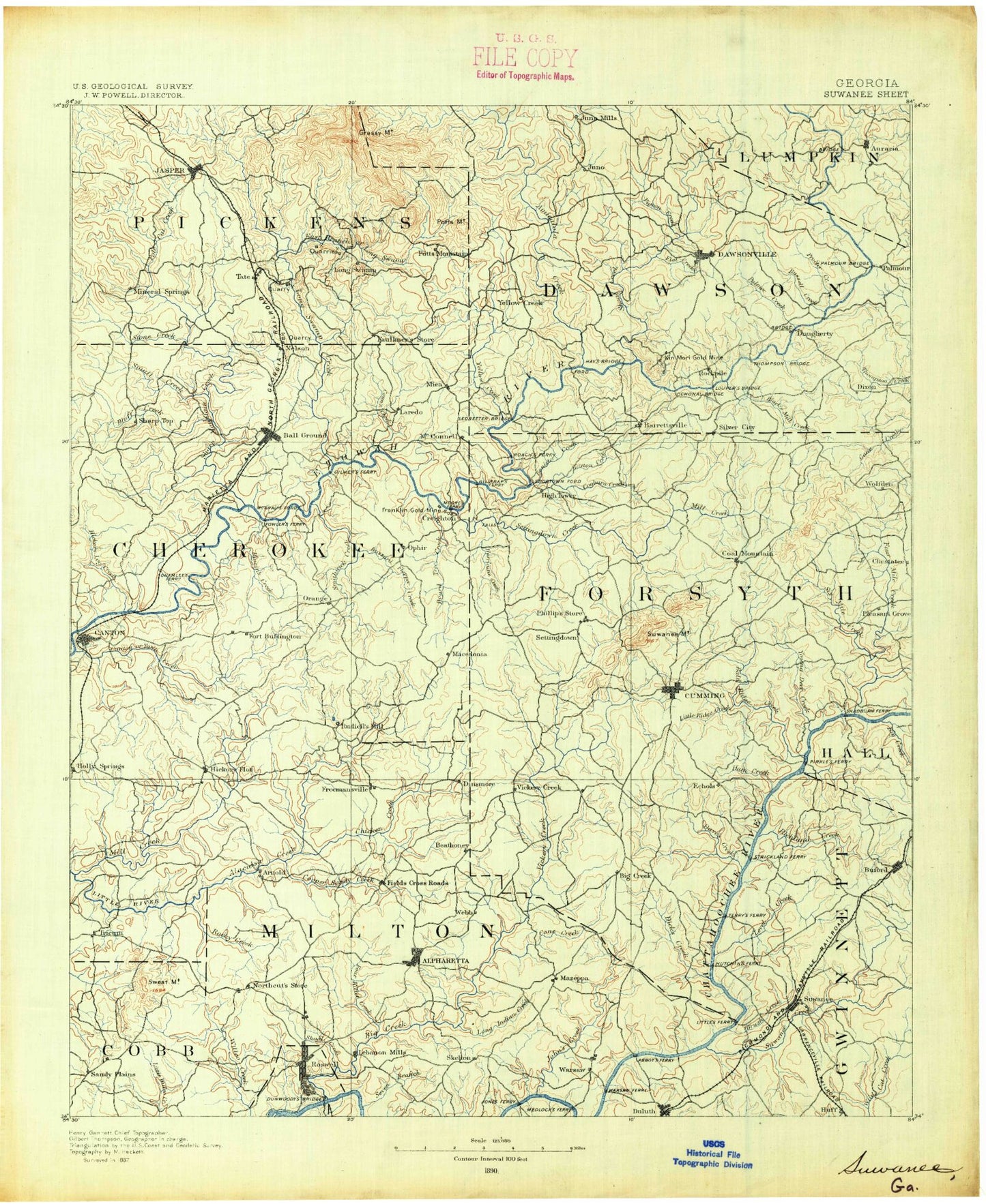
Historic 1890 Suwanee Georgia 30'x30' Topo Map
Couldn't load pickup availability
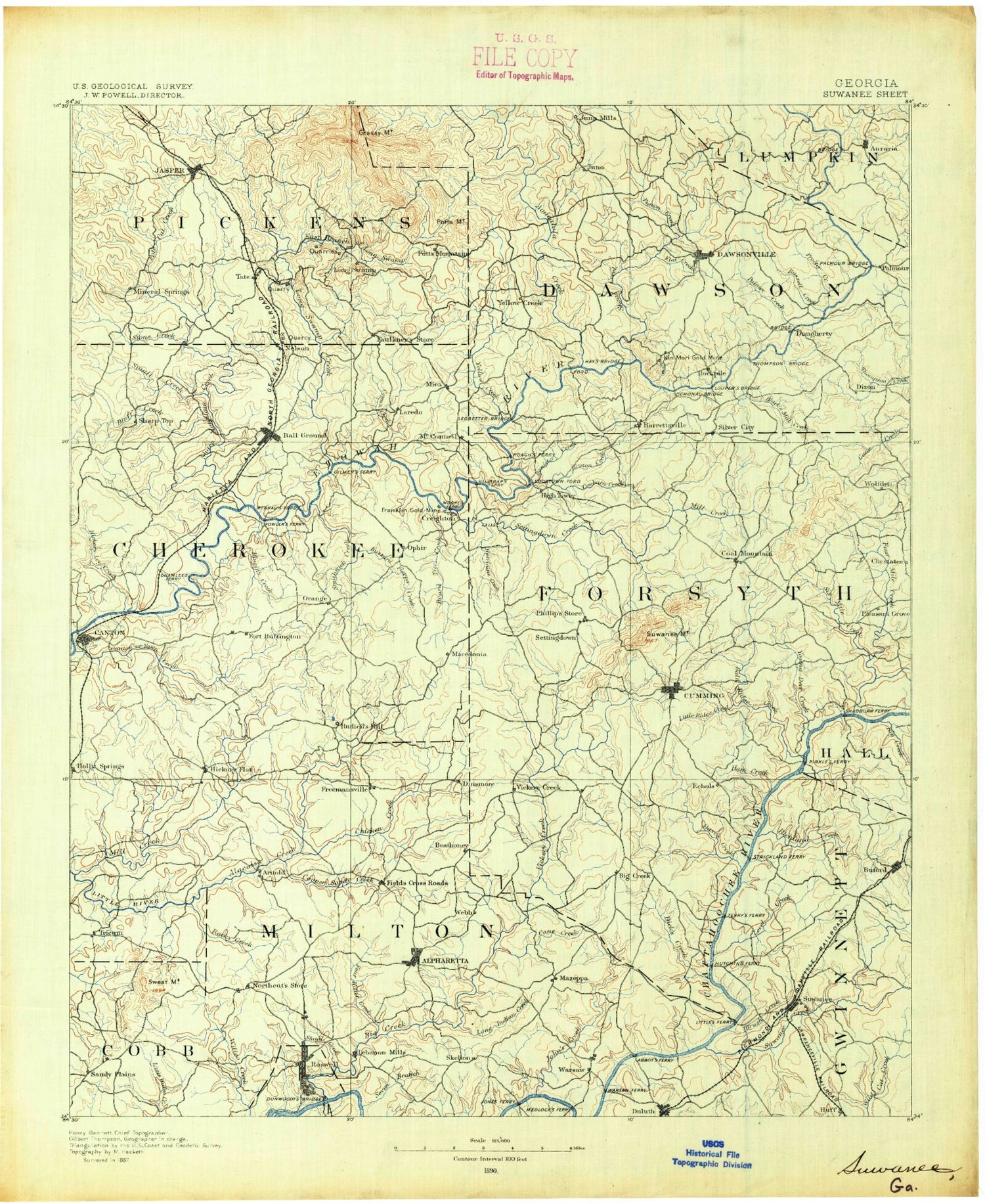
Historical USGS topographic map of Suwanee in the state of Georgia. Scale: 1:125000. Print size: 18" x 24"
This map was published in 1890 and is in the following counties: Cherokee, Cobb, Dawson, Forsyth, Fulton, Gwinnett, Hall, Lumpkin, Pickens.
The map contains contour lines, roads, rivers, towns, streams, and lakes. Printed on high-quality waterproof paper with UV fade-resistant inks.
Contains the following named places: Abs Gap, Alpharetta, Anderson Lake, Andersonville, Avery, Avery Creek, Baggs Branch, Bagley Creek, Bannister Creek, Bennett Creek, Bentley Creek, Bethel Ridge, Bettes Gap, Big Creek, Big Savannah, Birmingham, Black Mill Creek, Blackwell Creek, Bluff Creek, Board Tree Creek, Bowmans Island, Bradshaw Lake, Brandywine Community House, Brewton Creek, Brushy Creek, Bryant Creek, Buford, Buford Dam, Buford Park, Burt Creek, Buzzard Flapper Creek, Cagle Branch, Calhoun Creek, Camp Creek, Cane Creek, Caney Creek, Canton Creek, Cauley Creek, Chamblee Gap, Champion Creek, Charleston Access Point, Cheatam Creek, Lake Cherful, Chicken Creek, Clear Creek, Cobb Creek, Coffey Cove, Cogburn Creek, Conn Creek, Copper Sandy Creek, Cox Creek, Cox Lake, Cumming Twin Lakes, Darnell Creek, Daves Creek, Disharoon Cove, Disharoon Creek, Disharoon Gap, Disharoon Mountain, Ducktown, East Branch Long Swamp Creek, Edward Creek, Flat Creek, Fourmile Creek, Free Home, Garrett Lake, Gilhams Lake, Gwinnett County Park, Harmon Field, Harris Creek, Haw Creek, Hickory Flat, Hickory Log Creek, High Gap, Hinton Creek, Hog Wallow Creek, Holly Creek, Hurricane Creek, Ivy Creek, James Creek, Jasper, Johns Creek, Kelley Mill Branch, Kents Lake, Level Creek, Lilly Creek, Little Ridge Creek, Little Shoal Creek Public Use Area, Long Branch, Long Indian Creek, Lake Louella, Low Gap, Mary Alice Park, Mill Creek, Mole Mountain, Murphy Creek, Nelson, Odum Lake, Mount Oglethorpe, Padgett Falls, Pea Ridge, Lake Perrin, Pettit Cove, Pettit Creek, Pettit Creek, Pettit Ridge, Polecat Branch, Richland Creek, Riggin Creek, Rock Creek, Rocky Creek, Sandy Plains, Sawmill Branch, Sawnee Creek, Sawnee Gap, Sawnee Campground, Sconti Gap, Sconti Lake, Scott Mill Creek, Settingdown Creek, Seven Branch, Shady Grove Park, Sharp Mountain Creek, Shoal Creek, Shoal Creek, Lake Sidney Lanier, Sixmile Creek, Smithwick Creek, Snow Creek, Soap Creek, Squattingdown Creek, Starr Creek, Suwanee, Suwanee Creek, Sweat Mountain, Sweetwater Creek, Lake Tamarack, Thalley Creek, Thompson Creek Access Point, Town Creek, Tri-County Park, Tribble Gap, Twin Lakes, Twomile Creek Access Point, West Bank Public Use Area, Yellow Creek, Yellow Creek, Young Deer Creek, Young Deer Creek Access Point, Batesville, Carmichael Crossroads, Drew, Greenway, Harmony, Keithsburg, Newtown, Union Hill, White City, Worley Crossroads, Camp Creek, Little Amicalola Creek, Long Swamp Creek, Pigeon Creek, Arnold Mill, Barrettsville, Big Creek, Brookwood, Buffington, Burris Crossroads, Burtsboro, Cagle, Canton, Carrols Crossing, Coal Mountain, Cox Mountain, Crabapple, Cumming, Dawsonville, Duluth, Fields Crossroads, Gober, Heardville, Holbrook, Holcomb, Hopewell, Juno, Landrum, Lathemtown, Little McElory Mountain, Lumpkin, Macedonia, Marblehill, Matt, McElory Mountain, McKee, Mica, Mountain Park, North Canton, Ocee, Ophir, Orange, Pirkle Woods, Potts Mountain, Roswell, Sanderlin Mountain, Shake Rag, Sharp Top, Silver City, Sugar Hill, Toland Mountain, Warsaw, Webb, Wet Mountain, Whim Hill, Camp Grandview, Kenney Askew County Park, Badger Creek, Midway Park, Pine Lake, Cumming City Park, Ocee Park, Alpharette, Lake Windwood, Woodstock Park, Waller Park, County Correction Center, City Square Park, Roswell Park, Alpharetta City Park, Wills Park, Veterans Field, Alpharetta North Park, Providence Park, Martin Lake, Lake Providence, Spring Lake


