MyTopo
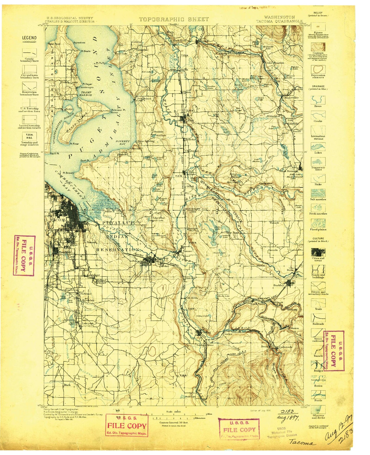
Historic 1897 Tacoma Washington 30'x30' Topo Map
Couldn't load pickup availability
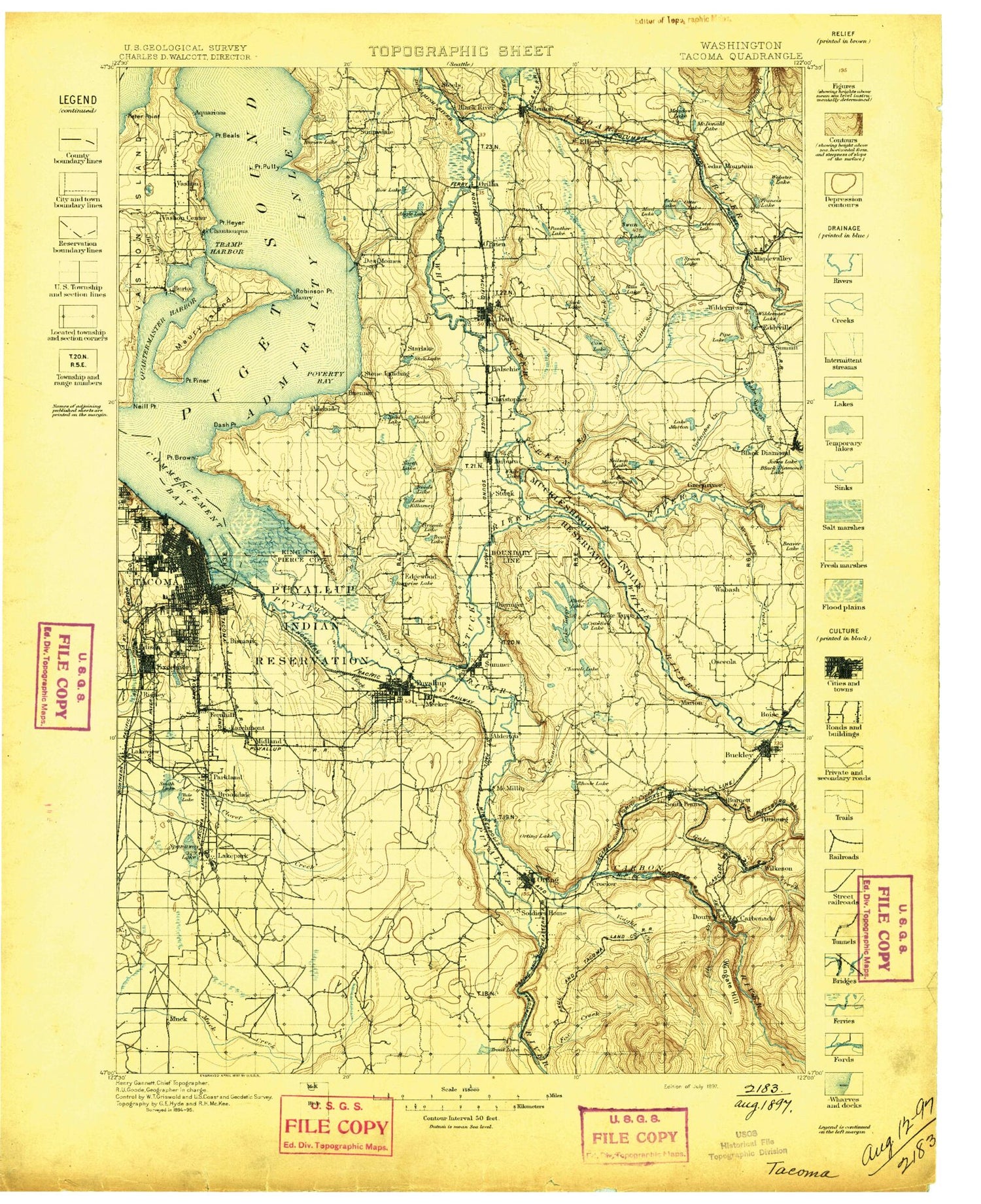
Historical USGS topographic map of Tacoma in the state of Washington. Scale: 1:125000. Print size: 18" x 24"
This map was published in 1897 and is in the following counties: King, Kitsap, Pierce.
The map contains contour lines, roads, rivers, towns, streams, and lakes. Printed on high-quality waterproof paper with UV fade-resistant inks.
Contains the following named places: Angle Lake, Arbor Lake, Arrow Lake, Beane Creek, Beaver Lake Club, Big Soos Creek, Bingaman Pond, Black Diamond Lake, Black River, Blair Waterway, Bonney Lake, Bowman Lake, Brook Lake, Browns Point, Burien Lake, Canyonfalls Creek, Charlton Lake, Chelsea Park, City Waterway, Clark Lake, Clarks Creek, Clear Creek, Commencement Bay, Coplar Creek, Covington Creek, Crisp Creek, Cristy Creek, Dash Point, Dash Point State Park, Dawson Playfield, Dumas Bay, Enchanted Island, Lake Fenwick, Fern Cove, Fire King Coal Mine, Fiske Creek, Forest Lake, Fort Malone Historical Marker, Francis Lake, Franklin Park, Grass Lake, Grayland Park, Hille Lake, Historical Marker Connels Prairie Battle, Hole in the Wall, Holiday Park, Horseshoe Lake, Hughes Siding, Hylebos Waterway, Indian, Indian Coal Mine, Jones Pit, Judd Creek, Lake Kathleen, Keevie Lake, Kelly Lake School, Lake Killarney, Lincoln Park, Lake Lucerne, Luana Beach, Magnolia Beach, Maple Valley, McKinley Park, Lake Meridian, Middle Waterway, Mill Creek, Milwaukee Waterway, Mirror Lake, Mooney Swamp, Morey Creek, Morgan Lake, Mud Lake, Neill Point, North Fork Clover Creek, North Lake, Northilla Beach, Orting Lake, Owens Marsh, Panther Lake, Peasley Canyon, Peterson Lake, Pioneer Ball Park, Pioneer Park, Pipe Lake, Point Beals, Point Heyer, Pony Lake, Portage, Portland Avenue Park, Poverty Bay, Printz Basin, Purvis Ponds, Puyallup Waterway, Quartermaster, Quartermaster Harbor, Riverton, Rock Creek, Saint Paul Waterway, Sandy Beach, Seahurst Park, Secoma Beach, Shadow Lake, Shady Lake, Sitcum Waterway, Snake Lake, Snake Lake Park, South Park, South Tacoma Swamp, Spanaway Creek, Spanaway Lake, Spar Pole Hill, Spider Lake, Squally Creek, Star Lake, Steel Lake Park, Stewart Heights Playfield, Summit, Summit, Surprise Lake, Swan Creek, Sylvan Beach, Tacoma Eastern Gulch, Tacoma Mall Shopping Center, Thirteenth Division Prairie, Three Tree Point, Tramp Harbor, Trout Lake, Tub Lake, Tukwila, Tule Lake, Vashon Center, Vashon Island, Victor Falls, Wapato Creek, Wapato Lake, Wapato Park, Webster Lake, White Lake, Wildwood Park, Wright Park, Lake Youngs, Berrydale, Maury, Green River State Salmon Hatchery, Cranmar Creek, Straight Ponds, Morgan Slope, Camp Beracha, Timberlane, Danville, Red Barn Ranch, Gold Beach, Vashon Golf and Country Club, Camp Burton, Quartermaster Heights, Racoma, Rabbs Lagoon, Harbor Heights, Kingsbury Beach, Paradise Valley, Fir Ridge, Frenchmans Pond, Vashon Landing, Bethel Park, Scales Corner, Shingle Mill Creek, Aquarium, Cottongrove Picnic Area, Barnes Creek Nature Trail, Van Dorens Landing, Des Moines Creek, Tyee Valley Golf Course, McMicken Heights, Miller Creek, Gregory Heights, Lora Lake, Reba Lake, Crestview Center, Beverly Park, Shorewood, Highline, Salmon Creek, Molasses Creek, Fairwood Golf and Country Club, Fairwood, Benson Hill, Maple Valley Heights, Four Lakes, Cedar Mountain, Honey Creek, Lake Youngs Watershed, Ham Lake, Madsen Creek, Rock Creek, Arcadia, Earlington Golf Course, Black River Quarry, Harrison Creek, Mill Creek, East Hill, Meridian Valley Golf and Country Club, Cedar Hills, Wilderness Village, Dorre Don, Orchard Grove, Maple Hills, High Valley, Wynaco, Wieser, Springbrook Springs, Burns Creek, East Passage, Talbot Hill Park, Des Moines Beach, Des Moines Beach Camp, Lake Dolloff, Lake Geneva, Piner Point, Point Robinson, Union Station, Marlake, Massey Creek, Mayfair County Park, Rigney State Park, Swan Creek County Park, McSorley Creek, Thea Foss Waterway, Nike Site Park, East Green River Park, Renton Stadium, Triangle Park, Tukwila Park, Windsor Hills Park, East Hill Park, Mosier Memorial Park, Nature Trails Park


