MyTopo
Historic 1906 Telocaset Oregon 30'x30' Topo Map
Couldn't load pickup availability
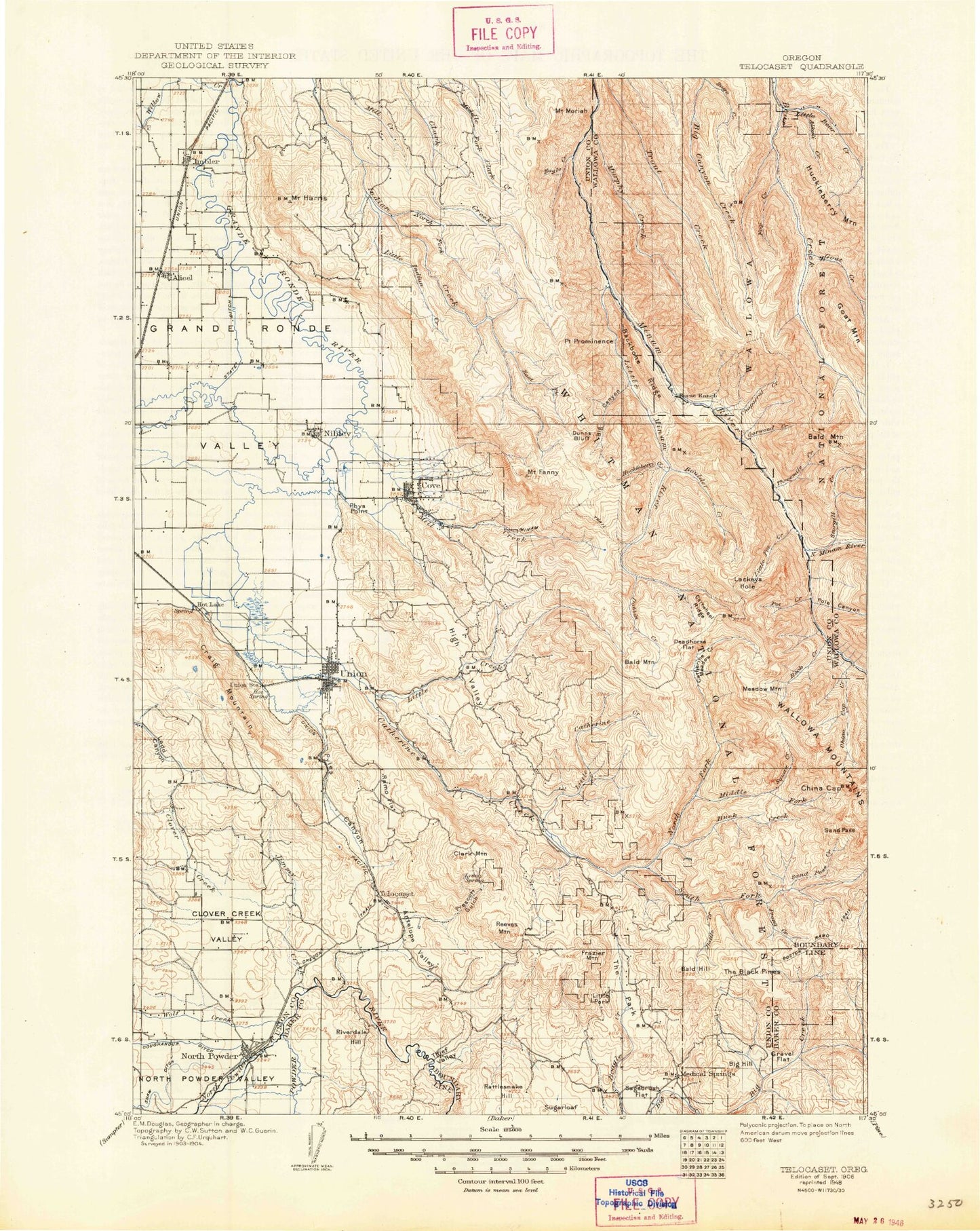
Historical USGS topographic map of Telocaset in the state of Oregon. Scale: 1:125000. Print size: 17" x 24"
This map was published in 1906 and is in the following counties: Baker, Union, Wallowa.
The map contains contour lines, roads, rivers, towns, streams, and lakes. Printed on high-quality waterproof paper with UV fade-resistant inks.
Contains the following named places: Catherine Creek Cabin, Moody Ditch, Alder Creek, Angel Point, Antelope Creek, Antelope Valley, Backbone Ridge, Badger Flat, Bazine Creek, Bell Creek, Ben Point, Big Canyon, Billy Small Meadow, Bluch Creek, Boswell Creek, Bottle Creek, Bridge Creek, Brinker Creek, Burn Creek, Camp Creek, Camp Creek, Castle Ridge, Catherine Creek, Catherine Creek Guard Station, Catherine Creek State Park, Clark Creek Guard Station, Clover Creek, Clover Creek Valley, Collins Creek, Collusion Point, Conley Lake, Corral Creek, Craig Mountain, Crib Point, Cusick Creek, Davis Dam, Deer Creek, Division Gulch, Dobbin Creek, Duncan Creek, Dunns Bluff, Eagle Creek, East Fork Indian Creek, Eastern Oregon Livestock Exposition Grounds, Eckesley Creek, Elk Point, Mount Fanny, Faun Creek, Fireline Creek, Flagstaff Butte, Four Point Ridge, Frazier Mountain, Gasset Bluff, Gobel Draw, Government Gulch, Gravel Flat, Grouse Creek, Happy Canyon, High Valley, Horse Meadow, Horseshoe Basin, Horseshoe Creek, Hot Creek, Huckleberry Creek, Huckleberry Trail, Hunter Gulch, Indian Creek Camp, Jimmy Creek, Ladd Creek, Ladd Creek Pickup Ditch, Lick Creek, Lick Creek, Line Bluff, Little Catherine Creek, Little Catherine Meadows, Little Indian Creek, Little Minam Meadow, Little Park, Lobo Creek, Lodgepole Trail, Long Ridge, Mahogany Ridge, McCurry Creek, Medical Springs, Milk Creek, Mill Creek, Minam Lodge, Monument Point, Mount Moriah, Moss Springs Recreation Site, Murphy Creek, North Fork Indian Creek, North Powder, North Powder Pond Number One, Dunning Creek, Pawnee Gulch, Phys Point, Phys Slough, Pine Butte, Point Prominence, Potters Creek, Prescott Gulch, Prong Creek, Pyles Canyon, Pyles Creek, Ramo Flat, Rattlesnake Hill, Reds Horse Ranch, Reeves Mountain, Riverdale Hill, Rock Spring Trail, Scout Creek, Shaw Reservoir, South Baldy, South Catherine Ditch, South Fork Catherine Creek, Spring Creek, Sunnyslope Ditch, Taylor Green, Thief Valley, Thief Valley Dam, Thief Valley Reservoir, Threemile Creek, Trippier Point, Trout Creek, Trout Creek, Union, Upper Davis Dam, Velvet Creek, Vogel Pond, Warm Creek, Whiskey Flat, Wisdom Creek, Prescott Ditch, Kelly Springs Creek, Draper Creek, Ames Creek, Bobington Branch, Millard Branch, Hulick Branch, Elmers Reservoir 1, Elmers Reservoir 2, Elmers Reservoir 3, Hot Lake Reservoir, Hohstadt Reservoir, Lower Falls Little Minam River, Dry Gulch, Catherine Creek Highline Canal, Scott Ditch, Pond Slough, Grout Ditch, Pearson Ditch, Spring Creek, Prescott Creek, Little Park Creek, Robertson Ditch, Wright Ditch, Harmon Reservoir, Sagebrush Flat, Pondosa Pond, Thief Valley County Park, Ruckman Dam, Bill Howell Reservoir, Elmer Dam Number Three, Elmer Dam Number Four, Elmers Reservoir 4, Grays Slough Dam, Little Park Dam, Shaw Dam, Womack Basin, Bald Hill, Bald Mountain, Big Hill, Clark Mountain, Conley, Cove, Fairview Point, Grey Mountain, Hot Lake, Pondosa, Sugarloaf Mountain, Telocaset, Telocaset Hill, Alicel, Alkali Canyon, Baker Canyon, Bald Knob, Bald Mountain, Bear Creek Guard Station, Big Burn, Big Flat, Big Sheep Ridge, Blowout Basin, Blowout Basin Creek, Boot Hill Creek, Boulder Creek, Boundary Recreation Site, Buck Creek, Burger Butte, Burger Meadows, Burger Pass, Cartwheel Ridge, Catherine Creek Meadow, Chaparral Creek, China Cap, China Cap Creek, China Cap Ridge, Chop Creek, Corral Basin, Cougar Ridge, Cougar Ridge Trail, Crooked Trail, Deadhorse Flat, Dobbin Creek, Doc Creek, Fox Creek, Fox Point, Garwood Creek, Gentry Creek, Goat Creek, Granite Butte, Granite Creek, Grizzly Creek, Mount Harris, High Hat Butte, High Ridge, Horse Basin Creek, Horseheaven Creek, Imbler, Jerry Creek, Jim Creek, Jim White Ridge, Jungle Creek, Lackey Creek, Lackeys Hole, Lackeys Lake