MyTopo
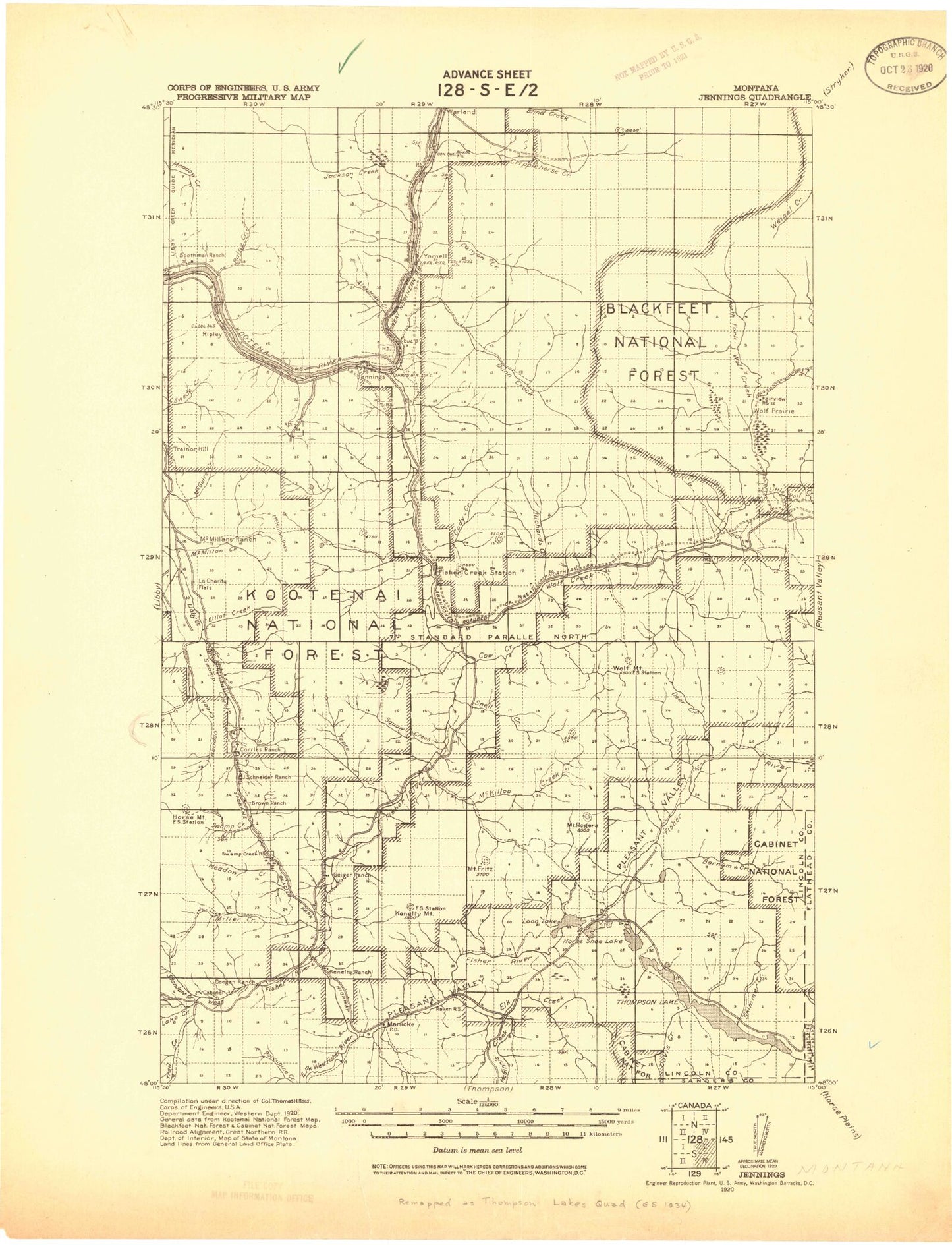
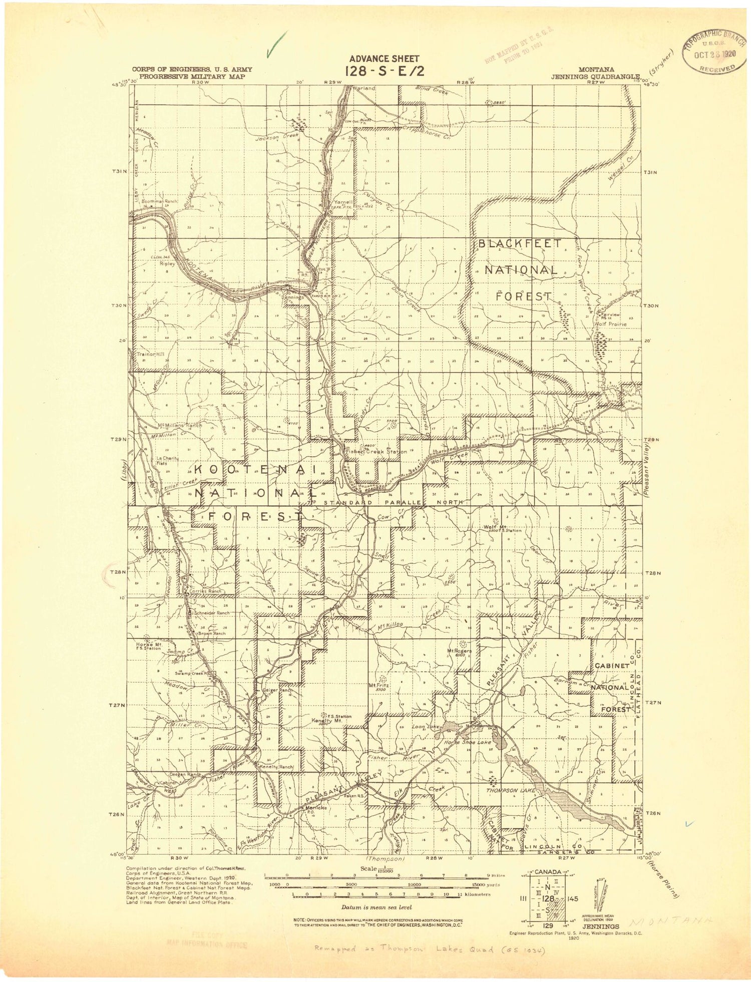
Historic 1920 Thompson Montana 30'x30' Topo Map
Couldn't load pickup availability
Historical USGS topographic map of Thompson in the state of Montana. Scale: 1:125000. Print size: 18" x 24"
This map was published in 1920 and is in the following counties: Flathead, Lincoln, Sanders.
The map contains contour lines, roads, rivers, towns, streams, and lakes. Printed on high-quality waterproof paper with UV fade-resistant inks.
Contains the following named places: Mitchell Creek, Alder Creek, Alexander Creek, Alexander Mountain, Ariana Creek, Backus Creek, Baenen Ranch, Bakker Ranch, Barnum Creek, Barren Peak, Betts Lake, Big Bend, Blue Mountain, Boiling Springs Creek, Bootjack Lake, Boundary Mountain, Bowers Peak, Bramlet Creek, Brulee Creek, Brush Creek, Brush Mountain, Buck Creek, Butler Creek, Calx Creek, Calx Mountain, Calx Mountain Trail, Canoe Gulch, Canyon Creek, Carney Creek, Chief Creek, Cody Creek, Cow Creek, Cowell Creek, Coyote Creek, Coyote Creek Trail, Crazyman Creek, Cripple Horse Creek, Cripple Horse Mountain, Crystal Creek, Crystal Lake, Davis Creek, Deer Creek, Detgen Creek, Divide Trail, Divide Trail, Doe Creek, Dry Fork Creek, Dunn Creek, Dunn Peak, Eli Lake, Elk Creek, Elk Park, Elliot Creek, Fairview Guard Station, Fawn Creek, Fisher Mountain, Fisher Mountain Trail, Fisher River, Fisher River Siding, Fleetwood Creek, Fosseum Mountain, French Ranch, Fritz Mountain, Happys Inn, Harris Creek, Hoodoo Creek, Hornet Ridge, Horse Mountain, Horse Mountain Trail, Horseshoe Lake, Houghton Creek, Hunter Creek, Iron Meadow Trail, Jackson Creek, Jennings, Johnson Draw, Kavalla Creek, Kenelty Mountain, Kennedy Gulch, Kootenai Narrows, Lake Creek, Lake Creek Campground, Lang Creek, Lavon Lake, Leon Lake, Libby Creek Campground, Libby Divide Trail, Lightning Peak, Lilypad Lake, Little Jackson Creek, Little Loon Lake, Little Wolf Creek, Logan Park Campground, Loon Lake, Lost Lake, Lost Lake, Lower Thompson Lake, Lowery Gulch, Lyons Spring Campground, Marl Creek, McGinnis Creek, McKillop Creek, McMillan Creek, McMillan Mountain, Meadow Ridge Trail, Middle Thompson Lake, Miller Creek, Myron Lake, North Fork Canyon Creek, North Fork Jackson Creek, North Fork Miller Creek, Paul Bunyan Campground, Peace Creek, Pecolet Creek, Peoples Creek, Pleasant Valley, Pleasant Valley Campground, Pleasant Valley Creek, Pleasant Valley Fisher River, Pleasant Valley Park, Poker Hill, Porcupine Creek, Rainbow Lake, Rainbow Lake, Rainy Creek, Raritan Creek, Raven Creek, Raven Ranger Station, Redemption Hill, Reinhart Gulch, Reinshagen Gulch, Richards Creek, Richards Mountain, Ripley, Riverview Mountain, Schrieber Creek, Schrieber Lake, Sedlak Creek, Sedlak Park, Severn Gulch, Silver Butte Fisher River, Sipes Creek, Sipes Creek Trail, Slimmer Creek, Slimmer Creek Trail, Smoke Creek, Smoky Butte, Snag Gulch, Snell Creek, Souse Creek, Souse Ridge, South Fork Cripple Horse Creek, South Fork Jackson Creek, South Fork Miller Creek, Spring Creek, Leckrone Creek, Sterling Gulch, Mount Sterling, Sugarloaf Mountain, Swamp Creek, Swede Mountain, Syrup Creek, Tallulah Creek, Tamarack Creek, Teeters Peak, Teeters Peak Trail, Tensaw Creek, Tepee Creek, Tepee Lake, Thompson Lakes, Threemile Creek, Tony Peak, Tornilla Creek, Trail Creek, Tub Gulch, Upper Thompson Lake, Vermiculite Mountain, Vian Creek, Wabuno Creek, Wapiti Mountain, Warland Peak, Waylett Mine, Weigel Mountain, West Dry Fork Creek, West Fisher Creek, Williams Gulch, Wing Creek, Wolf Creek, Wolf Mountain, Wolf Point, Wolf Prairie, Wyoma Creek, Tangen Mountain, Blue Mountain Lookout Station, Yarnell Island Campground, Barren Peak Lookout Station, Big Swede Lookout, Warland Peak Lookout, Libby Dam, Zonolite Tailings Dam, Warland Creek, Fleetwood Point, Gopher Hill, Potter Mine, Mustang I Mine, Loon Lake Mine, Mitchell Creek Mine, Strad Beck Mine, Rogers Mountain, Satire Mountain, Thompson Chain of Lakes Fishing Access Site, Dunn Creek Flats, Libby Dam Visitor Center, Koocanusa Resort, Hook-U-Up RV Park, Sportsmans RV Park, Big Bend RV Park, Blackwell Flats, Canoe Gulch Ranger Station, Raven Work Center, Snell Mountain, Souse Gulch Picnic Area, Yarnell Island, Cripple Horse Marina, McGillivray Campground, Riverview, Tamarack, Wolf Prairie, Libby Division


