MyTopo
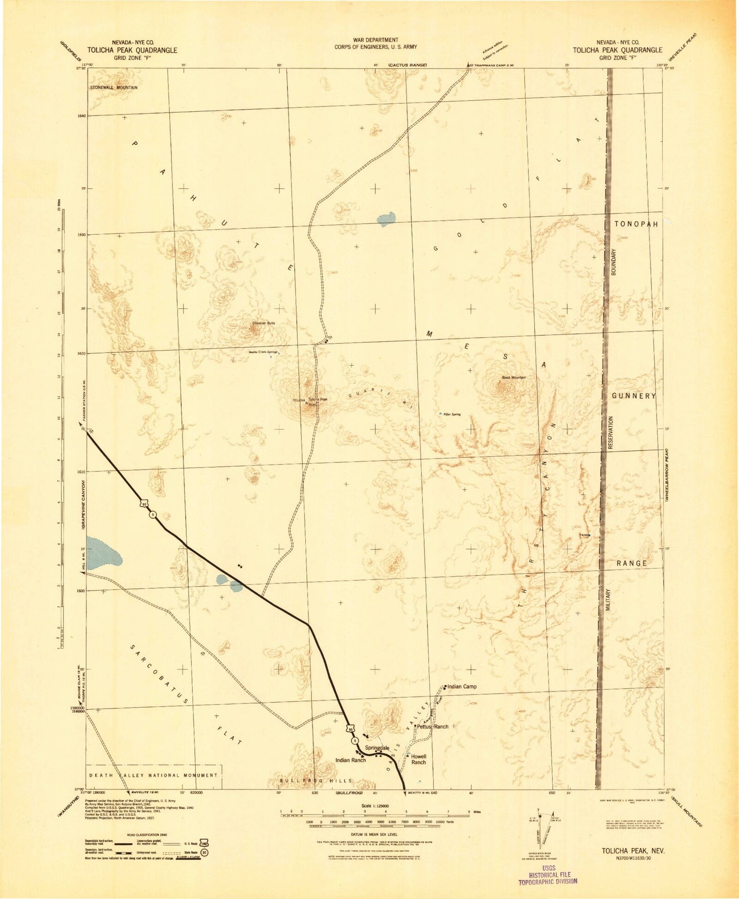
Historic 1942 Tolicha Peak Nevada 30'x30' Topo Map
Couldn't load pickup availability
Historical USGS topographic map of Tolicha Peak in the state of Nevada. Scale: 1:125000. Print size: 18" x 24"
This map was published in 1942 and is in the following counties: Nye.
The map contains contour lines, roads, rivers, towns, streams, and lakes. Printed on high-quality waterproof paper with UV fade-resistant inks.
Contains the following named places: East Fork Thirsty Canyon, Black Mountain, Boulder Cuesta, Clarkdale Mine, Dry Lake, Hidden Cliff, NASA Tracking Station, Oasis Mountain, Obsidian Butte, Pioneer, Pioneer Mine, Quartz Mountain, Ribbon Cliff, Rocket Wash, Sarcobatus Flat, Thirsty Canyon, Tolicha Peak, Trail Ridge, West Fork Thirsty Canyon, Yellow Cleft, Pahute Mesa, West Cat Canyon, Donovan Mountain, Parachute Canyon, Thirsty Mountain, Colson Pond, Fac Hill, Coba Mountain, Little Black Peak, Indian Camp, Pettus Ranch, Howell Ranch, Springdale Mountain, Yellow Gold Mine, Tolicha Mining District, Wyoming Scorpion Mine, Quartz Mountain Mine, Life Preserver Mine, Landmark Mine, Springdale, Beatty Division


