MyTopo
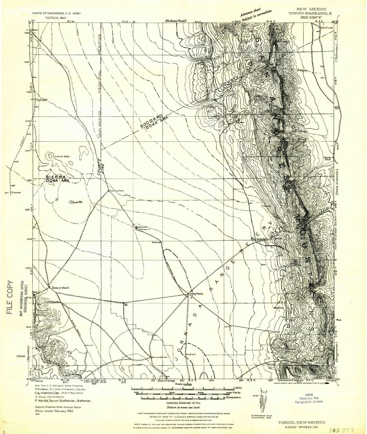
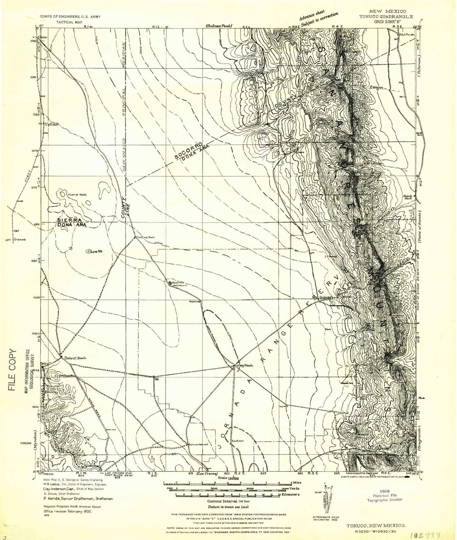
Historic 1932 Tonuco New Mexico 30'x30' Topo Map
Couldn't load pickup availability
Historical USGS topographic map of Tonuco in the state of New Mexico. Scale: 1:125000. Print size: 19" x 24"
This map was published in 1932 and is in the following counties: Dona Ana, Sierra.
The map contains contour lines, roads, rivers, towns, streams, and lakes. Printed on high-quality waterproof paper with UV fade-resistant inks.
Contains the following named places: New Mexico State University Chihuahuan Desert Rangeland Research Center, Aleman Draw, Aleman Ranch Headquarters, Anderegg Ranch Headquarters, Antelope Flat, Beal Ranch, Bear Creek, Broad Canyon, Brockoway Tank, Brown Tank, Buckle Bar Canyon, CCC Tank, CCC Tank, Cottonwood Draw, Cox Tank, Cross Tank, Davis Tank, Flat Lake, Flat Lake Ranch, Fleck Draw, Fleck Ranch, Foster Canyon, Gardner Peak, Gilmore Tank, Goldenburg Draw, Grandview Canyon, Grapevine Canyon, Hembrillo Canyon, Hembrillo Pass, Henderson Ranch, Horse Camp Draw, Horse Tank, Jornada Draw, Kacy Tank, Kaylor Tank, Lead Camp Canyon, Lion Den Canyon, Little Tank, Lost Man Canyon, Love Ranch Headquarters, Lyons Tank, Lyons Tank, Lytten Canyon, Martin Tank, Middle Tank, Mountain Tank, New Well Draw, North Tank, Caliche Tank, Parker Tank, Peoria Tank, Puddle Tank, Ragged Tank, Ragged Tank Flat, Red Bottom Tank, Red Lake, Renick Tank, Ritch Rim, Road Tank, Ropes Draw, Salt Canyon, San Andrecito Canyon, San Andres Peak, San Andres Trail, Sand Hills Tanks, Turner Tank, White Bottom Tank, Word Tank, Tonuco Mountains, Onate Mountain, East Tank Number 3, Mose Tank, Gardner Canyon, Hospital Canyon, Little Dry Canyon, Rawls Farm, Horse Canyon, Kaylor Mountain, Bear Peak, Cedar Hill, Tonuco, Dry Canyon, Grandview Mountain, Treasure Mountain, Pioneer Jr Mine, Greenback Mine, Pioneer Mine, Gunsight Peak, Victorio Canyon, Squaw Tit, Victorio Peak, New Tank, Maverick Canyon, Indian Tank, Green Valley Windmill, Green Valley, Lyons Draw, Gilmore Draw, Houge Tank, Pot Hole Tank, Upham Hills, House Pasture Windmill, Hille Ranch, House Pasture Tank, Hidden Tank, Mesquite Tank, Quartz Mountain, Pearson Tank, Restoration Tank, Ropes Tank, Yarbrough Reservoir, Schultz Tank, Shoellar Tank, Walk Tank, Taylor Tank, Warner Tank, Big Meadow, Big Meadow Tank, Big Brushy Mountain, Corners Tanks, Cox Tank, Cox Canyon, Block Mountain, Brock Tank, Hembrillo Basin, Broke Tank, Blackshire Draw, Broke Tank, Bomie Tank, Canfield Tank, Selden Hills, Medler, Selden Canyon, South Tank, Tonuco Draw, Summerford Mountain, State University Ranch Headquarters, Lake Tank, Hayden Tank, Ace Tank, J A Tank, San Andres National Wildlife Refuge, Frog Tank, Bruton Camp, Divide Tanks, Ritch Windmill, Mayberry Canyon, Red Rock, Hembrillo, Hembrillo Canyon, San Andres Lead Mine, Green Crawford, Beulah May Group, Tonuco Mine, Hell Canyon, Yoast Draw, Grandview, Albatross, Andrecito, Ash Canyon, Parker Deposit, Dead Man Canyon, Jornada Experimental Range Headquarters, Point of Rocks, Radium Springs, San Diego Mountain, North Dona Ana Site Dam, Crow Broad Placitas Site One Dam, Chapline Tank, CCC Tank, Coyote Tank, Campbell Tank, Cassady Tank, Beacon Tank, Antelope Tank, Yucca Tank, Tobosa Tank, Rawhide Tank, Price Tank, Powers Tank, Pierce Tank, Valentine Tank, Estell Tank, North Tanks, Engholm Tank, Eugene Tank, Keller Tank, Lucero Tank, Lawyer Tank, Hurtt Tank, Gravelly Ridges Artificial Revegetation Plot, Fleming Tank, Sump Tank, Garcia Mine, Hust Mine, Dona Ana-Hill Division, White Sands Division, White Sands Test Facility


